
Georgetown
Georgetown is one of Washington’s oldest neighborhoods, predating the federal city itself. These posts explore its colonial-era streets, Federal rowhouses, working waterfront, and the characters who shaped one of DC’s most enduring communities.
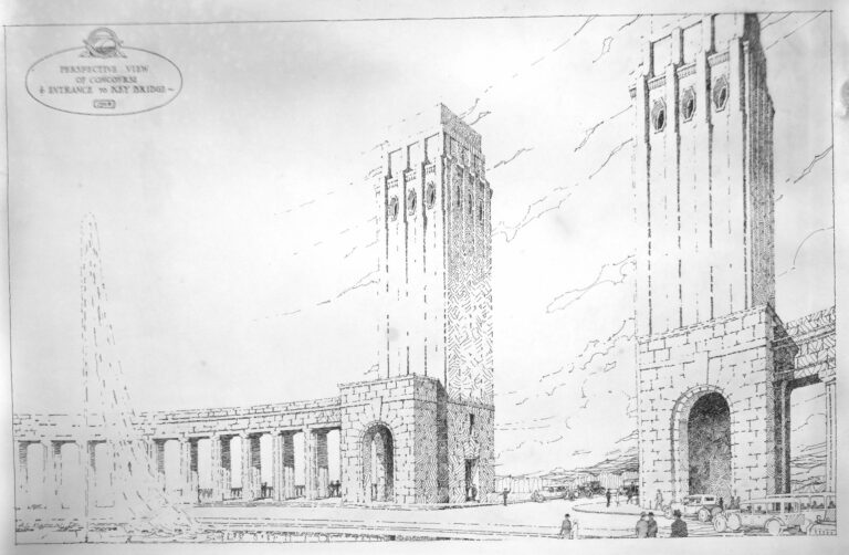 Key Bridge: The 1928 Proposed Grand Entryway That Was Never Built
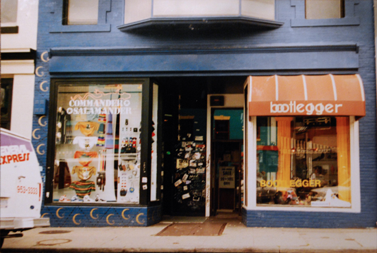 Commander Salamander and the Many Lives of 1420 Wisconsin Avenue
 1229 Wisconsin Ave NW: The History of Georgetown’s Apple Store Building
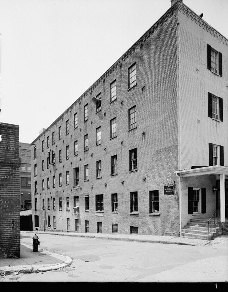 The Flour Mill in Georgetown: From Bomford’s Mill to 135 Homes
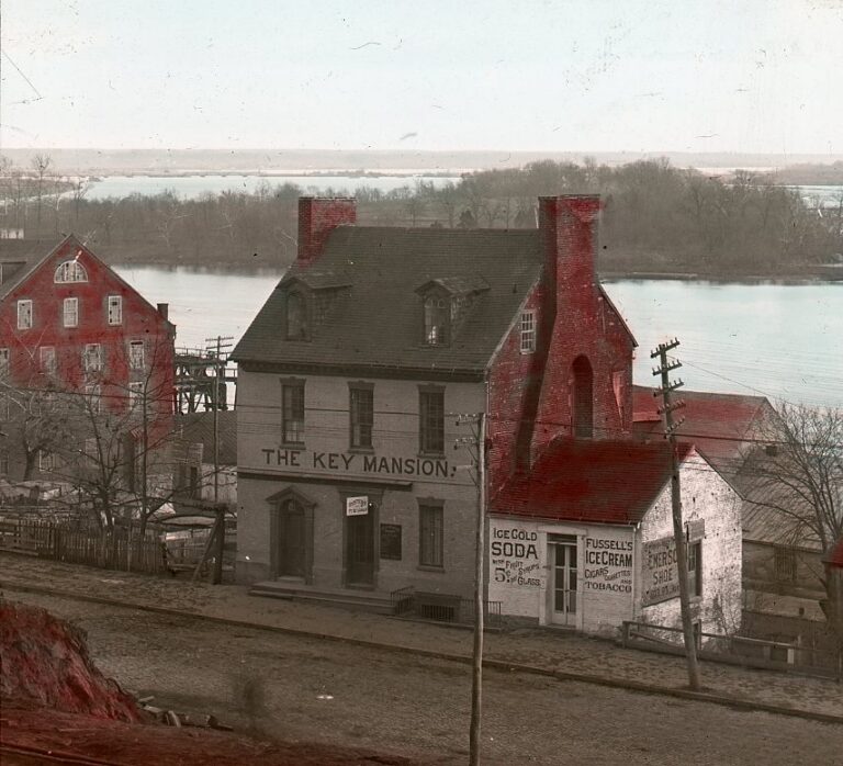 Francis Scott Key’s House in Georgetown, and How DC Lost It
 Robert LeGendre: Georgetown’s Olympic Champion and the 1930 Divorce His Family Wanted to Understand
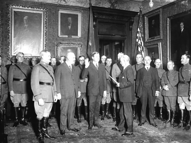 Three Former US Secretaries of War and the Washington Houses Where They Lived
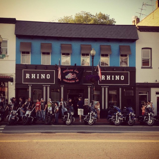 Rhino Bar: 63 Years of Drinking at 3295 M Street in Georgetown
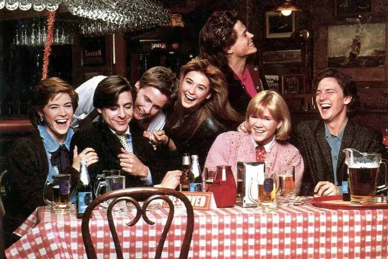 The Tombs in Georgetown: The Bar That Inspired St. Elmo’s Fire
More storiesShowing 18 of 85