
-
Stetson’s on U Street Was Once a Speakeasy Raided Five Times
Long before Stetson’s Famous Bar & Grill filled 1610 U Street NW with punk shows and cheap beer, the same storefront was a Prohibition speakeasy. Federal agents raided it five times between 1921 and 1924. Then they raided it again…
-
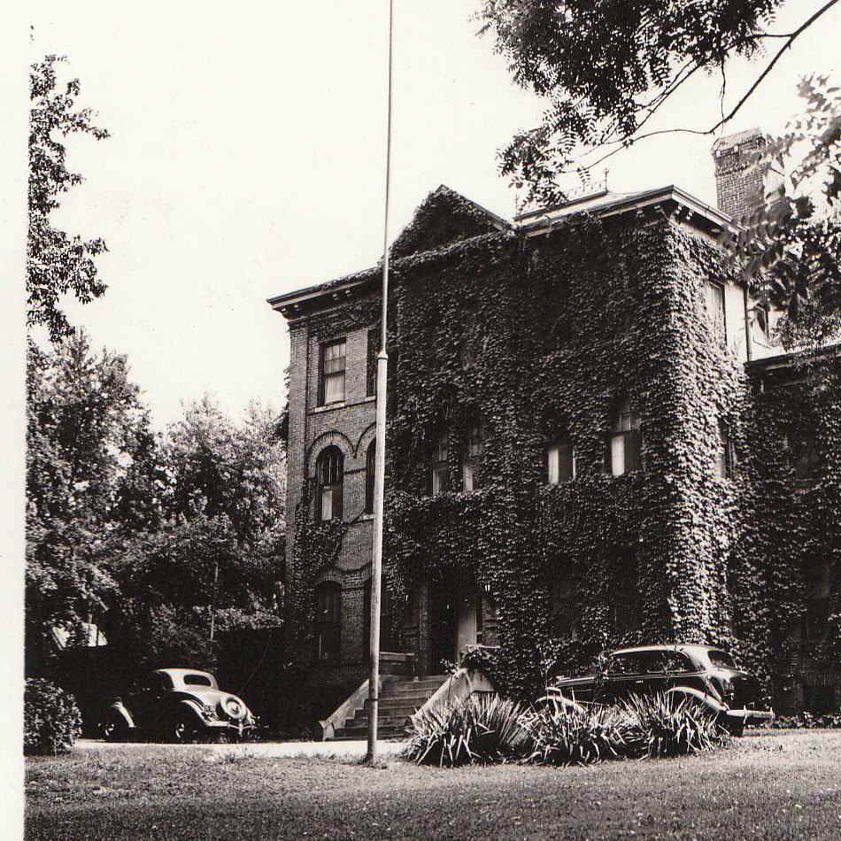
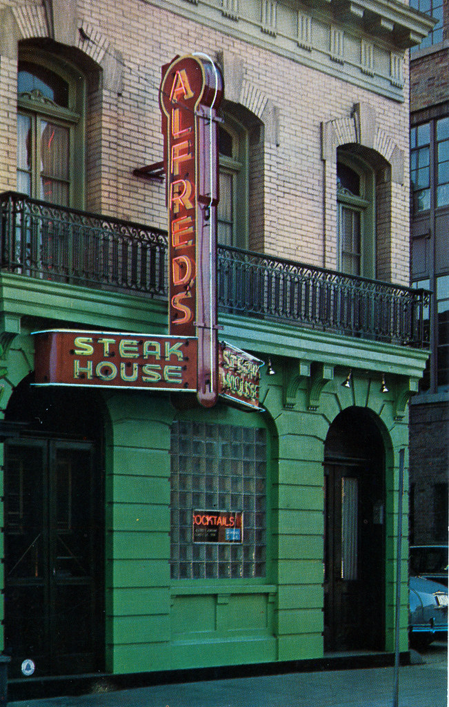
The Reform School for Girls That Stood Where Sibley Hospital Is Now
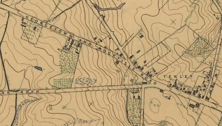
For sixty years a reform school for girls stood on the Palisades hill where Sibley Hospital is today. The troubled history of the National Training School for Girls, 1893 to 1953.
-
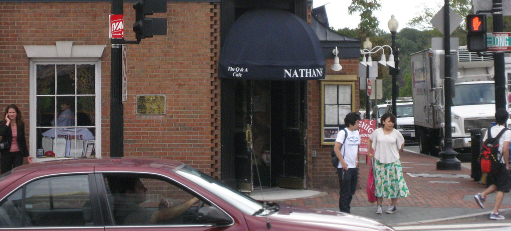
Nathans Georgetown: 40 Years at 3150 M Street, and What’s There Now
A bookie named Nathan Detroit opened it in 1969, Howard Joynt ran it for 28 years, Carol Joynt closed it on July 12, 2009. Now a Capital One Cafe occupies the southeast corner of Wisconsin and M.
-
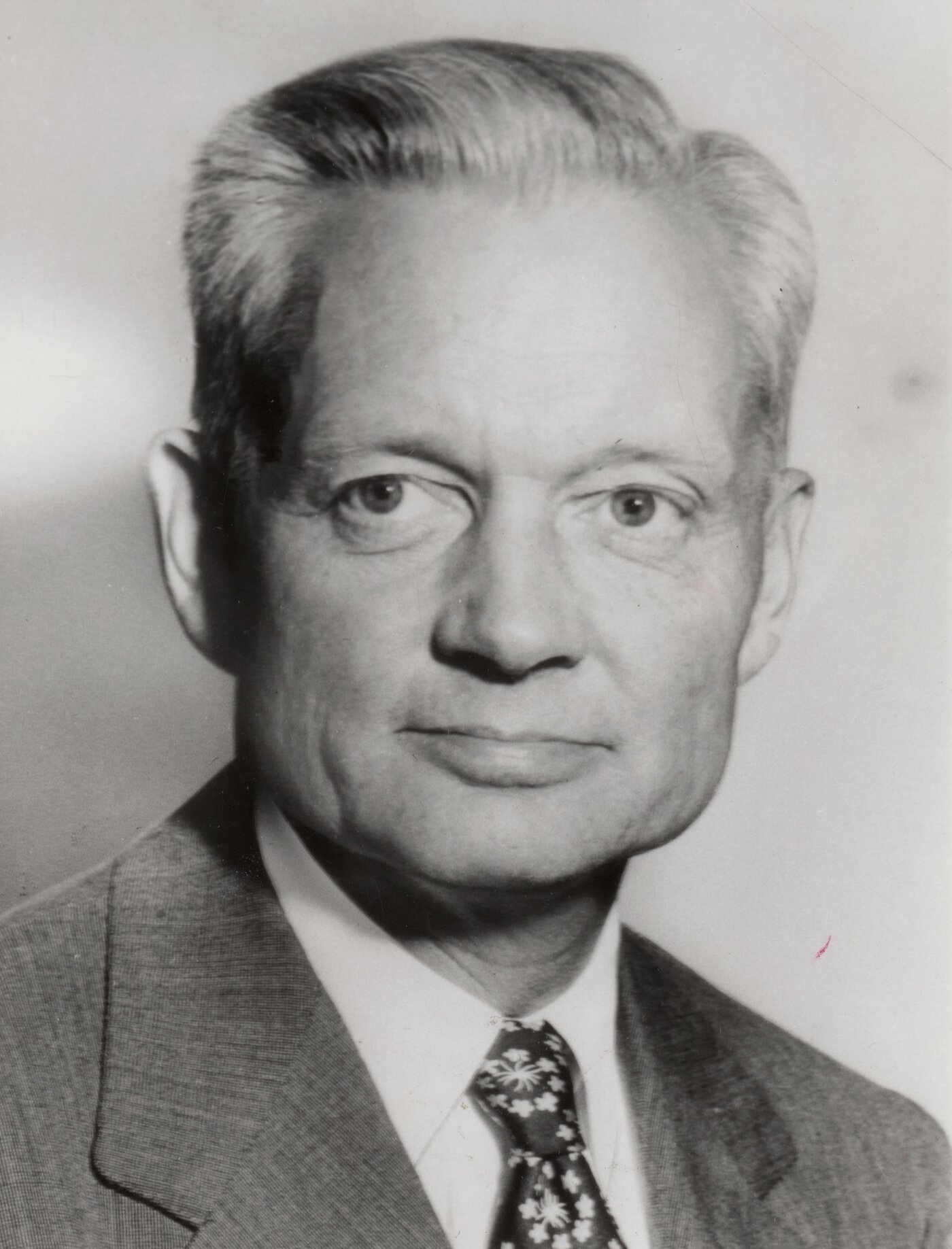
The Whiskey Still Where Eisenhower’s Chief of Staff Lived, and Ran the White House
Halfway down the Rock Creek slope at 2400 Tilden Street NW stands Isaac Peirce’s 1811 whiskey still. In 1954 Sherman Adams moved in and ran the Eisenhower White House from a converted distillery three miles from Lafayette Square.
-
Robert Askins, 1938 DC Cyanide Killer: A Four-Decade Arc
On December 28, 1938, in a small alley off 6th Street NW, a 31-year-old woman named Ruth McDonald accepted a drink from a young chemistry student and was dead within the hour.
-
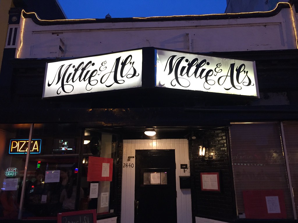
Millie and Al’s: 53 Years at 2440 18th Street NW
For 53 years, 2440 18th Street NW was Millie and Al's. Al Shapiro bought Bobbie's Restaurant in 1963, kept the name of his bartender girlfriend, and gave Adams Morgan Jell-o shots, a dancing skeleton, and its…
-
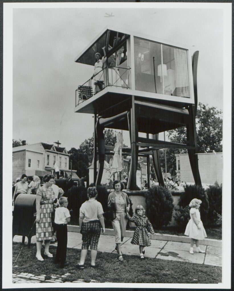
The Big Chair in Anacostia: Lynn Arnold’s 42 Days in a Glass House
Charles Curtis had Bassett Furniture build a 19.5-foot mahogany chair outside his Anacostia showroom in 1959. A year later, model Lynn Arnold moved into a glass house on top of it for 42 days. The chair…
Recently Updated
Refreshed from the Archive
![Capital Transit demonstration run of a Twin Coach articulated bus (a model they did not end up using), April 3, 1948. This turnaround is still used by buses today [photo by Robert S. Crockett].](https://ghostsofdc.org/wp-content/uploads/sites/7/2015/12/10896004463_3f7d28bb16_o-768x447.jpg)
Swipe for more
Pulled at Random
From the Vault


Swipe for more