The Flour Mill in Georgetown: From Bomford’s Mill to 135 Homes
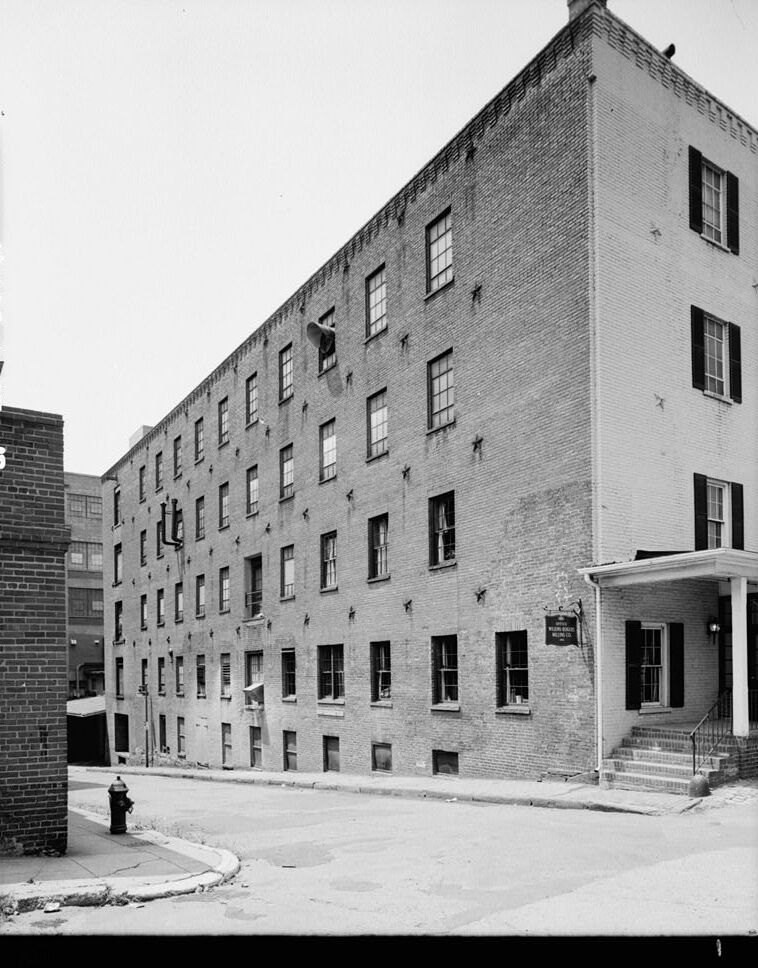
A reader asked about Georgetown’s Flour Mill at 1000 Potomac Street. The building was the neighborhood’s last working mill, and it began as a cannon expert’s cotton factory. Now its offices are headed for a 135-home conversion.