Nathans Georgetown: 40 Years at 3150 M Street, and What’s There Now
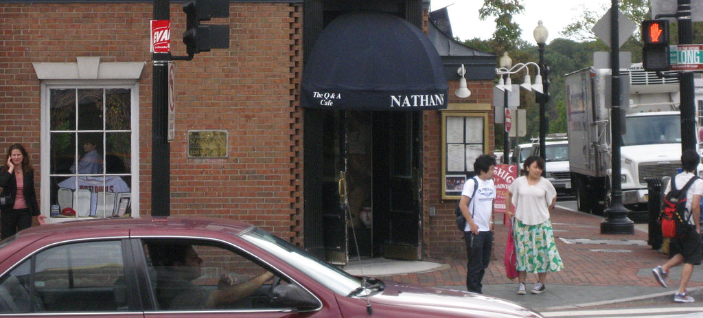
A bookie named Nathan Detroit opened it in 1969, Howard Joynt ran it for 28 years, Carol Joynt closed it on July 12, 2009. Now a Capital One Cafe occupies the southeast corner of Wisconsin and M.