River Place in Rosslyn: The Arlington Co-op That Expires in 2052

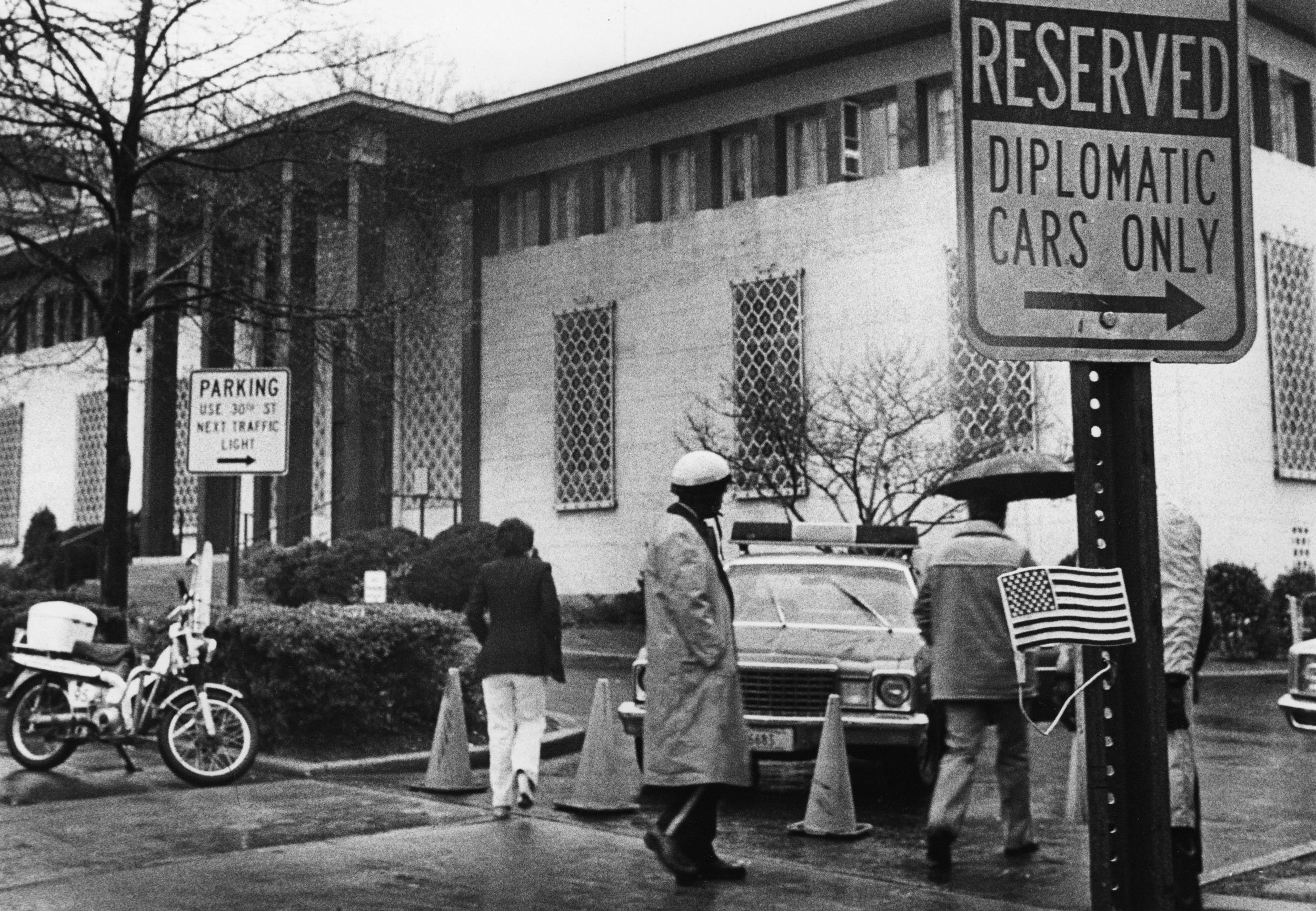
Own a home at River Place in Rosslyn and you don’t own the land beneath it. In 2052, the 99-year lease on the old Arlington Towers runs out. Inside the history of Rosslyn’s brick towers, from a diplomats’ training garage to Arlington’s cheapest river view.