Exploring the Past: An 1892 Map of the Rural Area Around Tenley and a 1904 Book About Columbia Heights
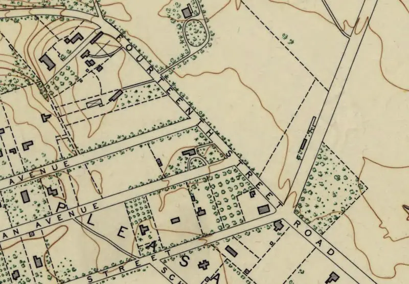
Take a journey back in time with us as we explore the past with an 1892 map of the rural area around Tenley and a 1904 book about Columbia Heights. Learn more about the history of the area!