
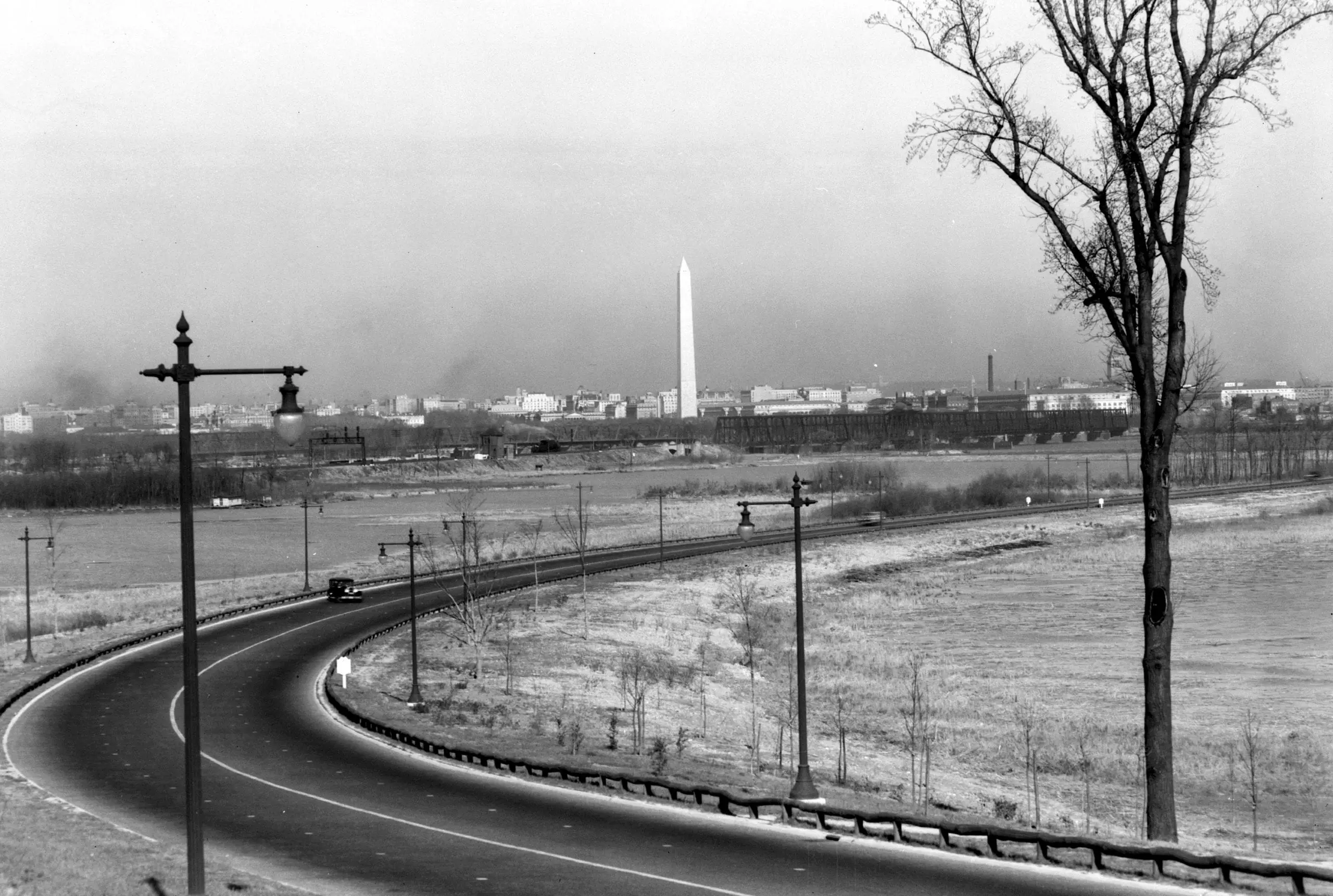
- Here is a photo looking at the Washington Monument from the vantage point of the George Washington Memorial Parkway.
Source: Library of Congress
It looks like this bend is somewhere near where National Airport is today. What do you think?
Source: Library of Congress
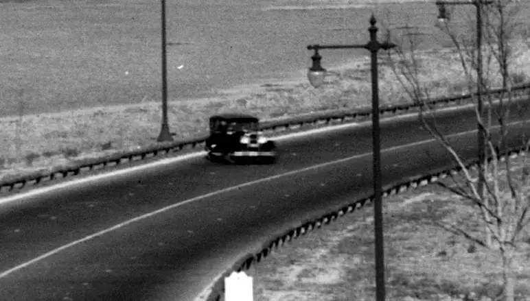
It looks like this bend is somewhere near where National Airport is today. What do you think?
Comments are closed.
I think we’re looking north across the Roaches Run bird sanctuary lagoon, just north of the present-day RNA runways. The railroad bridge tressles run across the photo above the lagoon, and there appear to be RR signal apparatus about where they should be. This section of the parkway is now six lanes. As to the guy doing a “you-ee,” the pavement is so pristine that perhaps the photo was taken before the parkway opened, so the car may have been on official bidness. I note also the tall street light fixtures — this style has been revived in DC in recent years — see Canal Road beyond Georgetown and the Glover Park strip on Wisconsin Avenue. Not my favorite, but at least I can now say, “yes, it’s pretentious, but it IS historical.”
looks to me like they are drifting!!!
The Arlington Historical Society is presenting a free public program on the Origins of the George Washington Memorial Parkway, tomorrow night (Mar 12) at 7:00pm at Marymount University’s Reinsch Library Auditorium.Also check out a great teaser about it on WETA’s Boundary stone Blog: http://blogs.weta.org/boundarystones/2015/03/11/origins-george-washington-memorial-parkway
I’d put it at 38.857N,-77.047W, right where the current parkway has an overpass of the southbound airport exit.