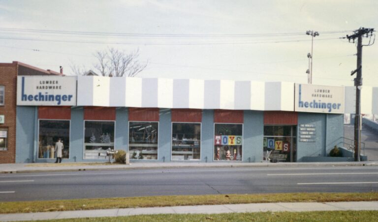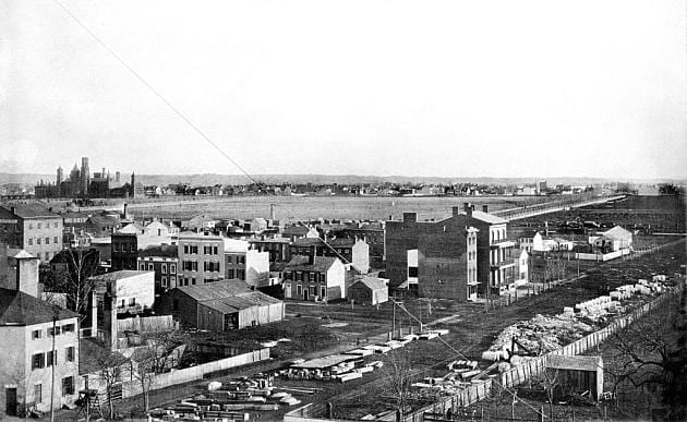

This old photograph shows Southwest D.C. as it looked in the late 1930s and early 1940s.

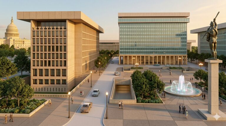
I can’t really even orient myself to where this is today as the place has changed so much. This is around the same area today, which is completely unrecognizable. Built in 1965, the Rayburn House Office Building blocks the view of the Capitol Dome.
Okay, so after a little more digging, we figure it’s somewhere near this pin on Google Maps.
And, this is what the area looked like in the 1927 map. Check out square 638.

Lost Washington stories, in your inbox.
The newest story, plus a few from the archive.
Free. Unsubscribe anytime.
We use AI to help research, write and edit stories across our sites. Here’s how we use AI.Suggest a correction