
July 4, 1926: How Washington Celebrated America’s 150th Birthday
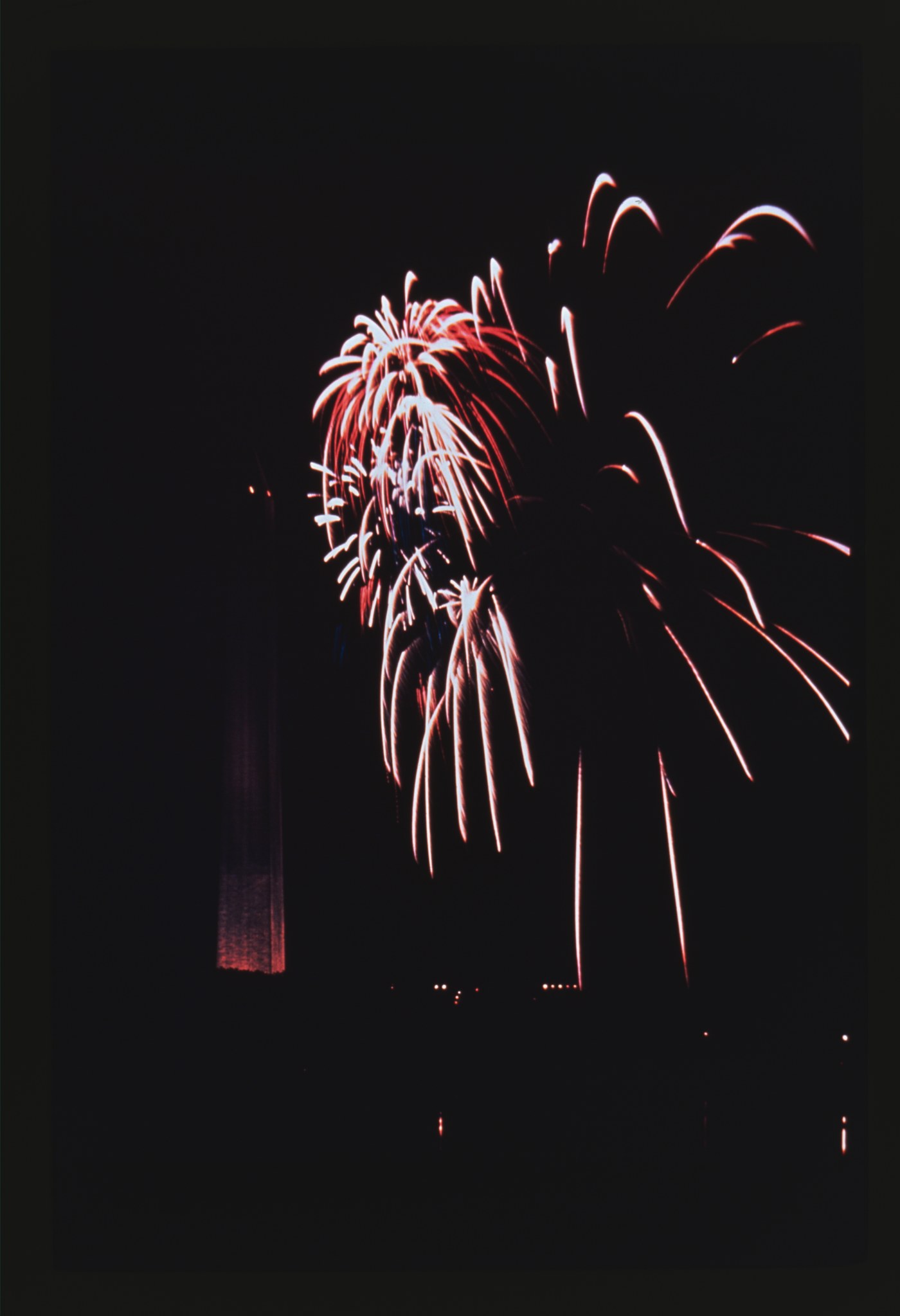
A cast of 1,000 on the Capitol steps, 50,000 at the Monument fireworks, and a plea for DC voting rights. How Washington celebrated America’s 150th birthday in 1926.
Posts the Ghosts of DC editors hand-pick from the archive. The strange, the vivid, and the ones worth pulling back to the front page after a few years buried.
A cast of 1,000 on the Capitol steps, 50,000 at the Monument fireworks, and a plea for DC voting rights. How Washington celebrated America’s 150th birthday in 1926.
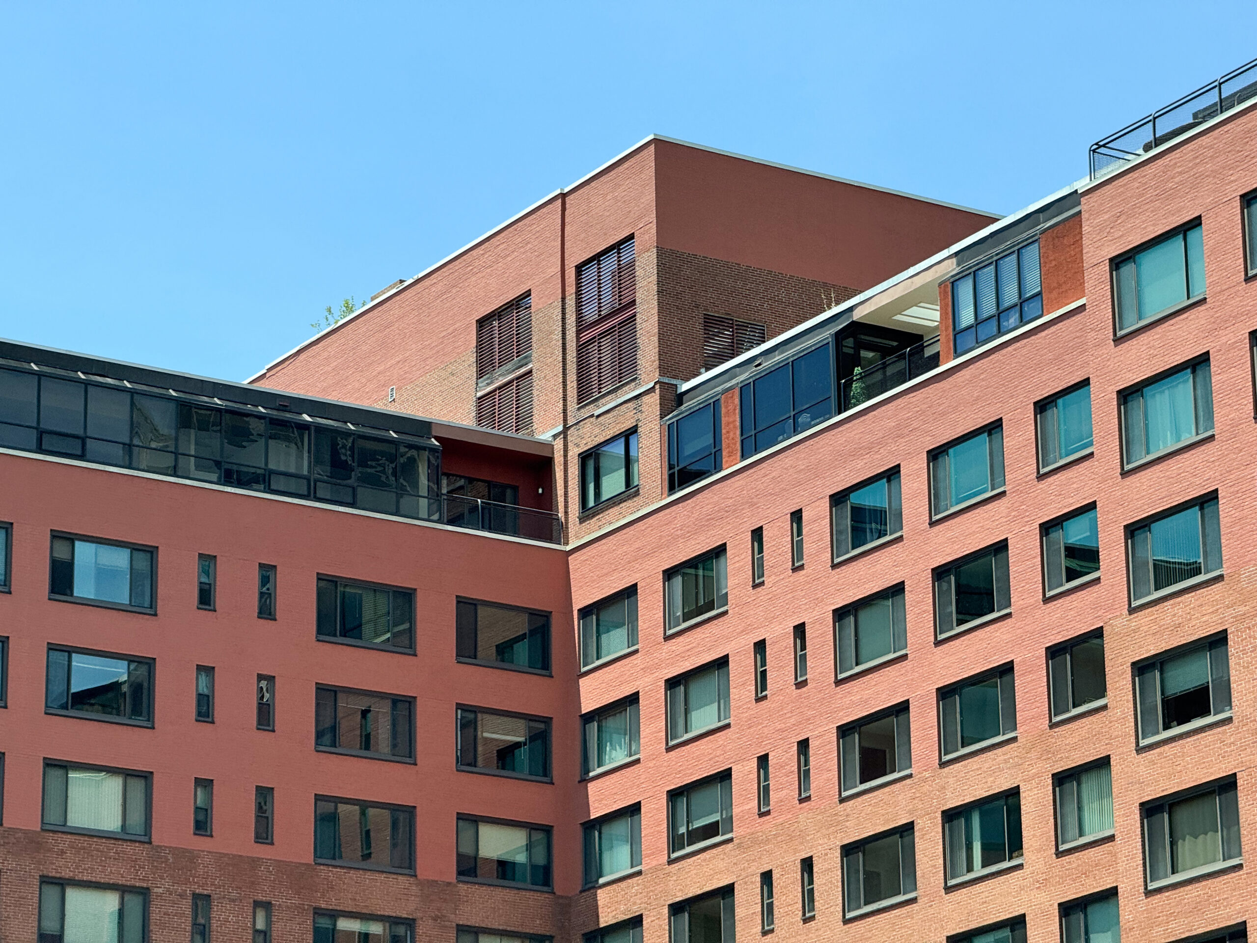
Own a home at River Place in Rosslyn and you don’t own the land beneath it. In 2052, the 99-year lease on the old Arlington Towers runs out. Inside the history of Rosslyn’s brick towers, from a diplomats’ training garage to Arlington’s cheapest river view.
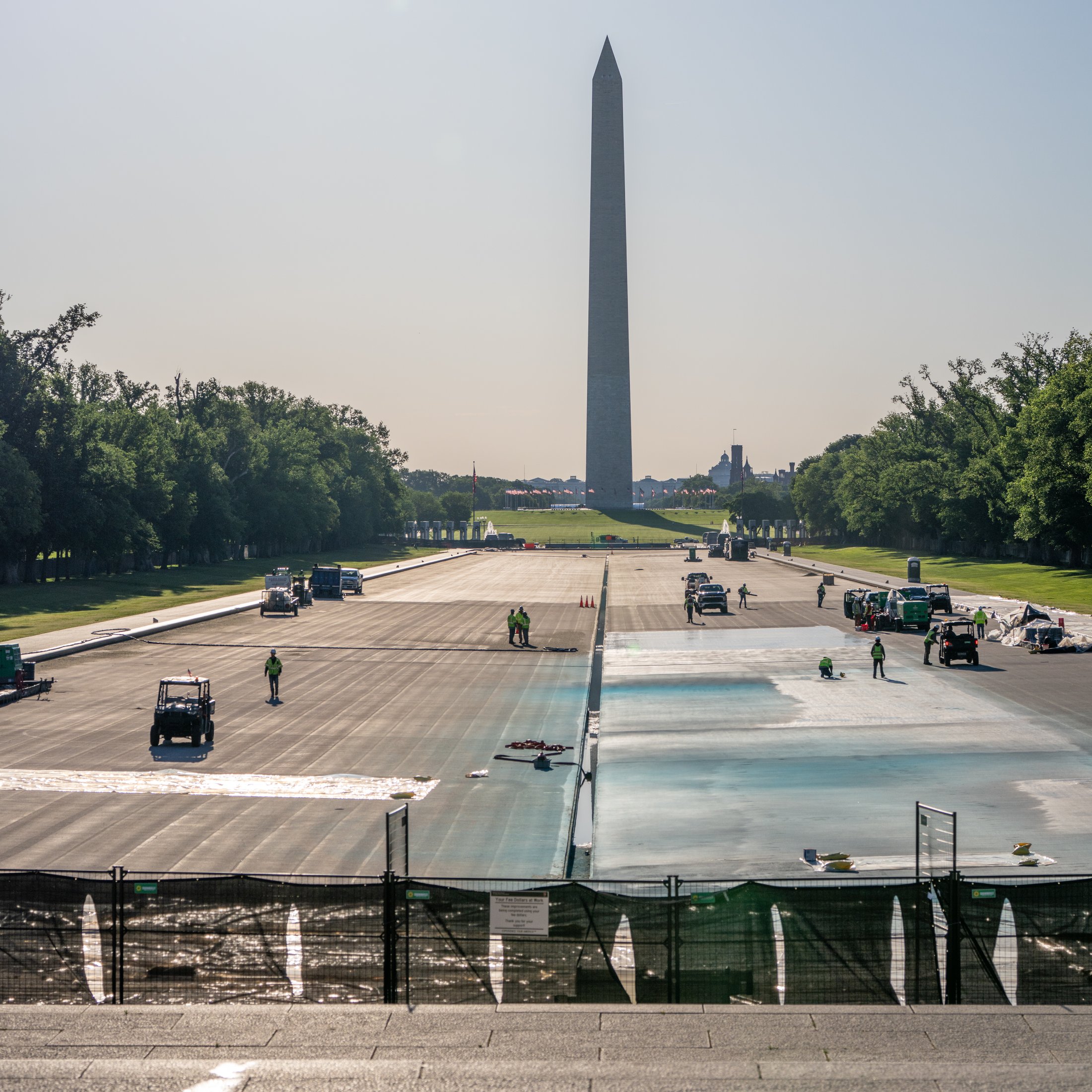
On May 7th, 2026, Trump’s motorcade rolled across the drained Lincoln Memorial Reflecting Pool, freshly painted American flag blue. Architect Henry Bacon designed the 1923 pool as a mirror you weren’t supposed to look at, built on dredged Potomac mud with no foundation.
Four early Kodachrome color photos of Old Town Alexandria from a single September 23, 1940 afternoon, taken by an amateur named Charles Cushman. He shot four frames and drove away. The Pentagon broke ground eleven months later.
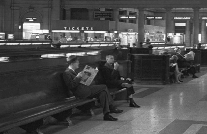
Take a look at a cool old photo of Union Station in Washington, D.C. taken by Thomas O’Halloran on August 14, 1963. Learn more about the historical context of the photo including the Great Train Robbery, James Meredith’s graduation, and the March on Washington.
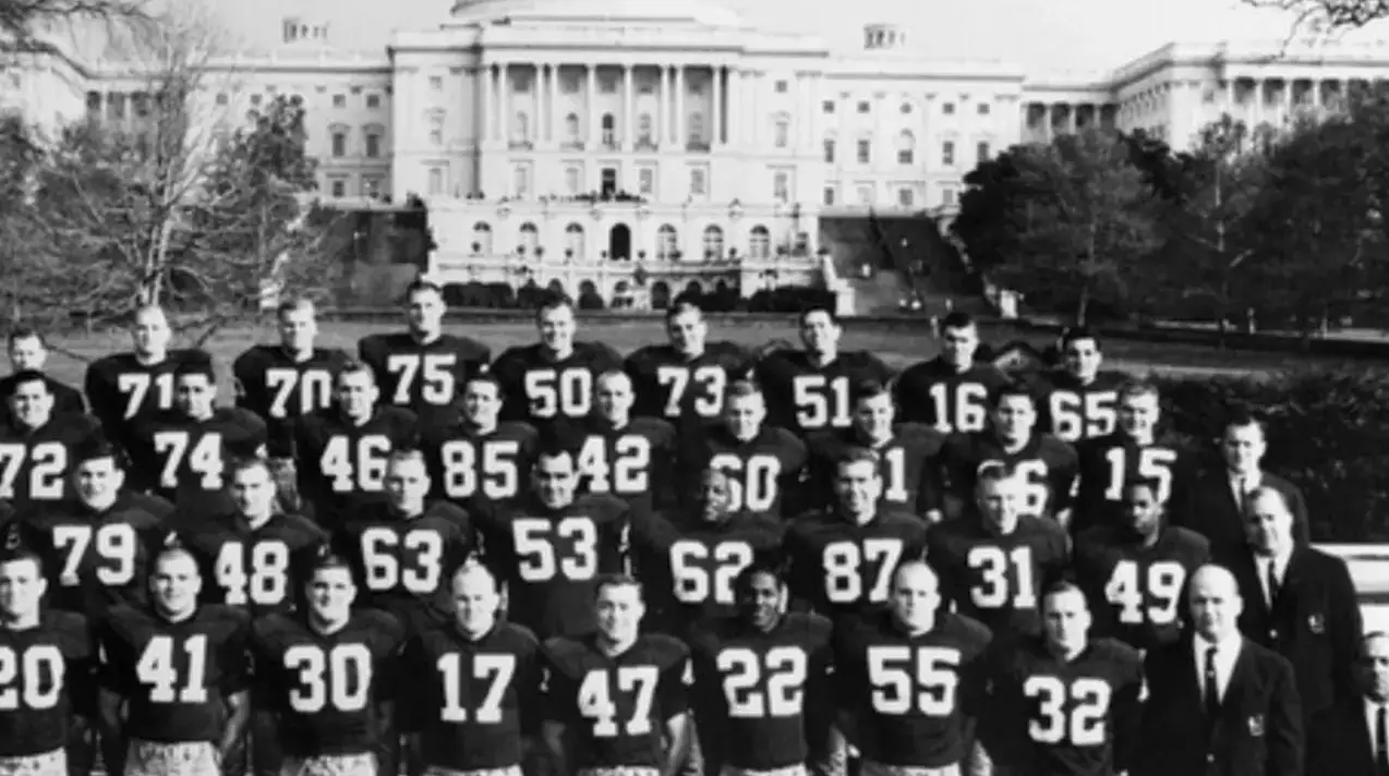
The Washington Redskins were the last NFL team to integrate. Owner George P. Marshall ran a southern-focused media empire.
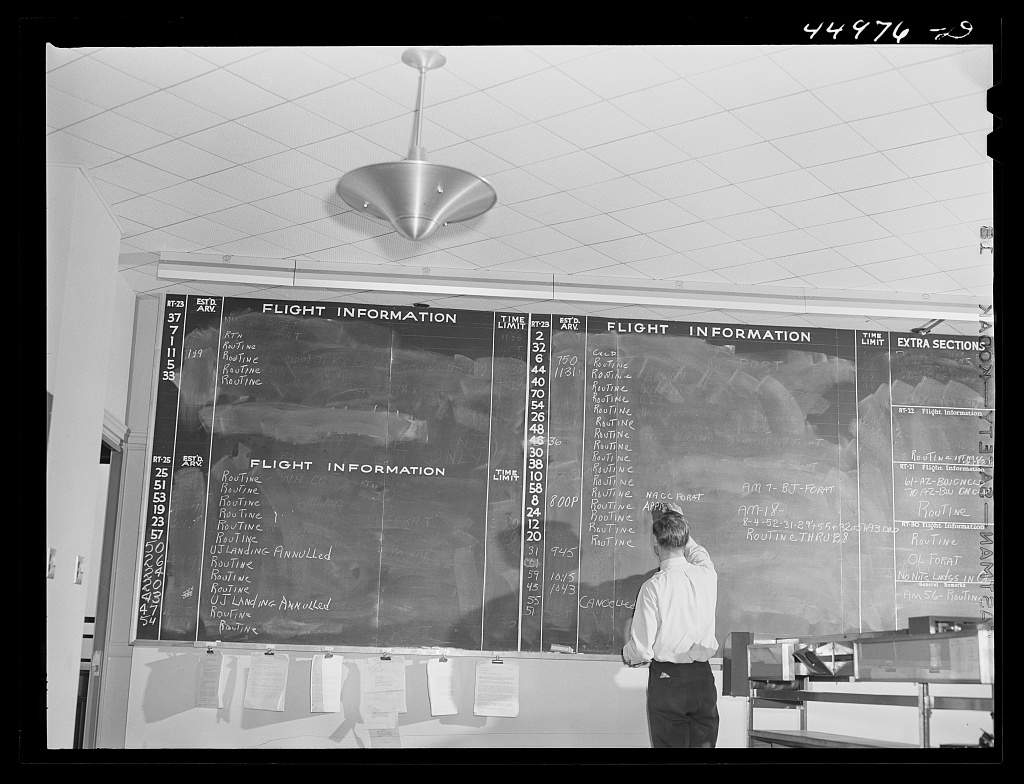
Washington’s new airport opened for business in June 1941. This series of detailed photos shows what flying was like 80 years ago, more glamorous, quaint, and dressed up.
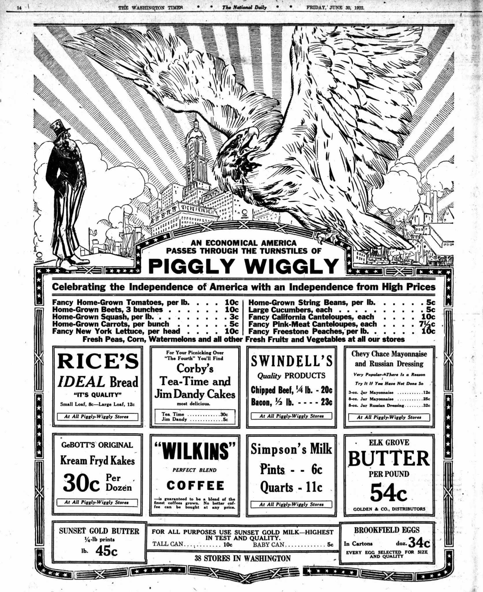
Take a trip down memory lane and experience the nostalgia of Piggly Wiggly, the seriously southern brand that no longer exists in Washington. Check out this cool old advertisement from 1922.
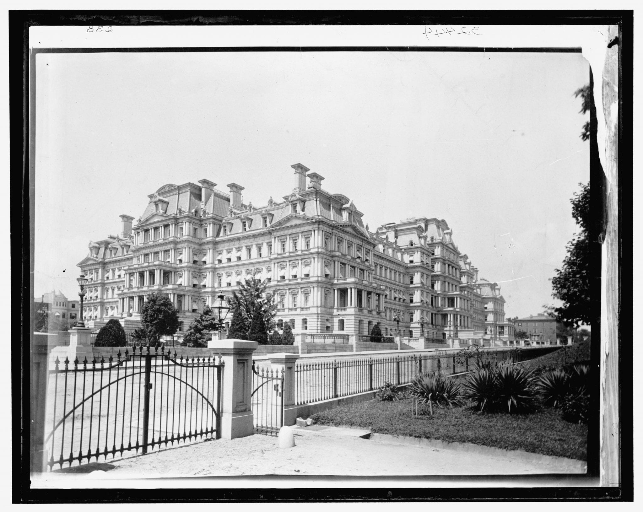
This extremely rare image of the State, War, and Navy Building is from the 1890s.