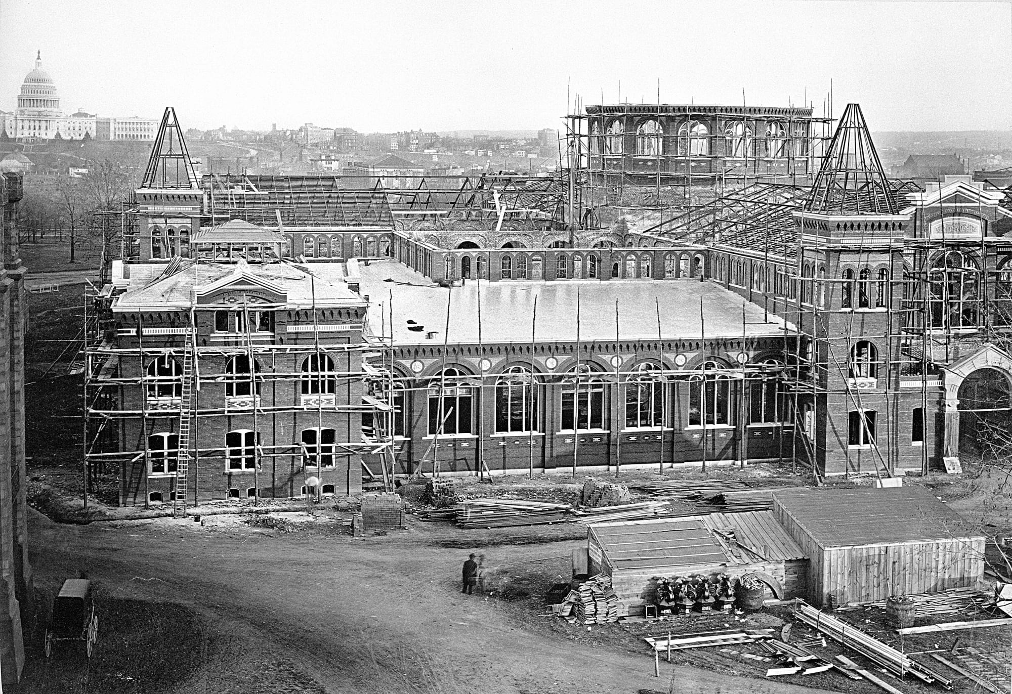
Center Market: Adolph Cluss’s 1872 Pennsylvania Avenue Hall That Became the National Archives
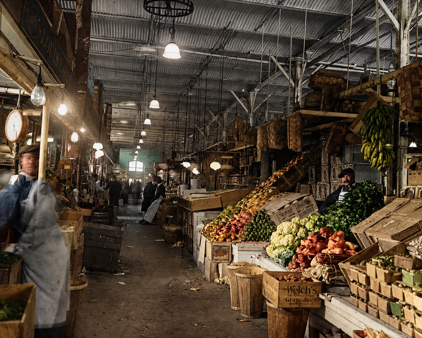
How a German-immigrant friend of Karl Marx designed the country’s largest market hall on Pennsylvania Avenue in 1872, why it ran for 59 years with 666 stalls and a refrigeration plant, and why the federal government tore it down in 1931 to build the National Archives.