2 thoughts on “Exploring Georgetown’s Past: An 1874 Map of the City with Old Street Names”
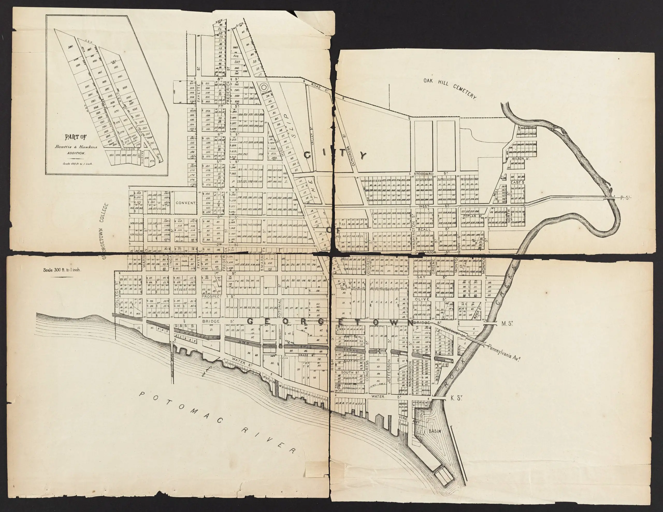
Very cool, but what was “The Slip” between High Street and Valley Street?
If I had to guess, I would say it was the “back street” neighborhood where African Americans lived. All the houses along the west side of 32nd Street NW, which is where The Slip was, appear to have been built in the 1950s, leading to my surmise that a landlord demolished old rental properties where blacks lived.
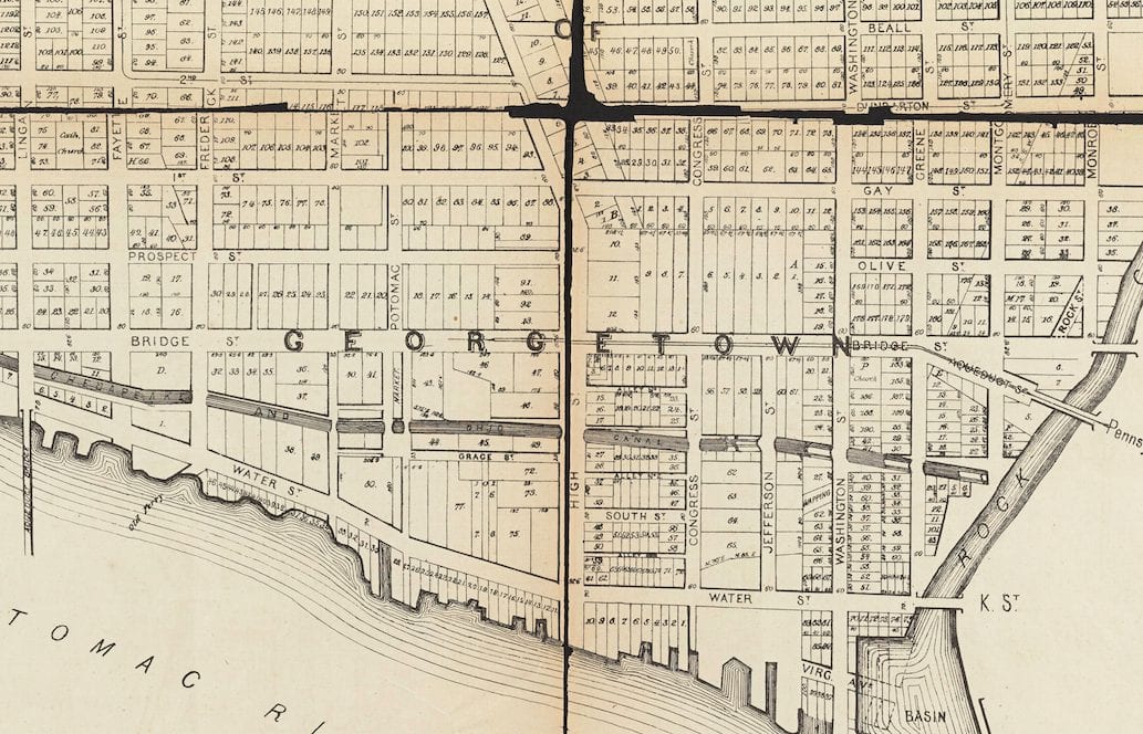