The Time Baseball Almost Landed in Arlington (Not Washington)
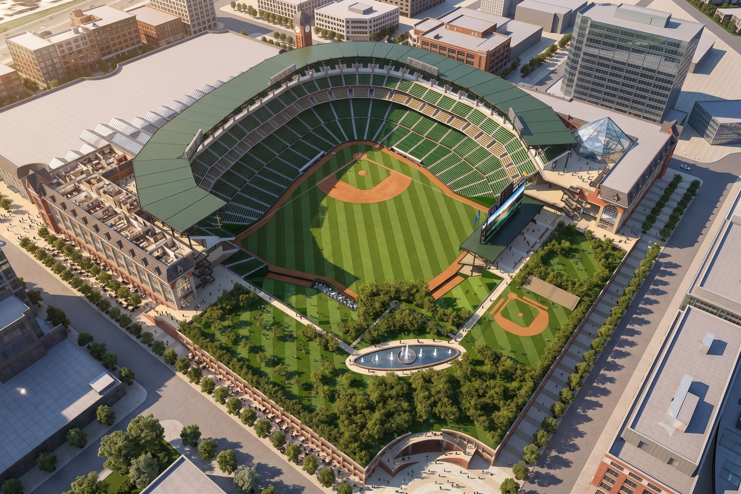
For most of the 1990s, Arlington was the favorite to land the Montreal Expos. There was an HKS rendering on the Potomac, a governor in support, and three candidate sites in Pentagon City. Then in eighteen months it all collapsed, and the rejected block eventually became Amazon HQ2.