
This is an amazing find on YouTube showing a trip down the C&O Canal back in 1917.
The entire trip took about seven days and they end up down in Washington.
Beyond the Mall and the monuments, Washington is full of landmarks with stories worth knowing. These posts cover the squares, circles, markets, arenas, and buildings that have defined the city’s geography and character over the centuries.
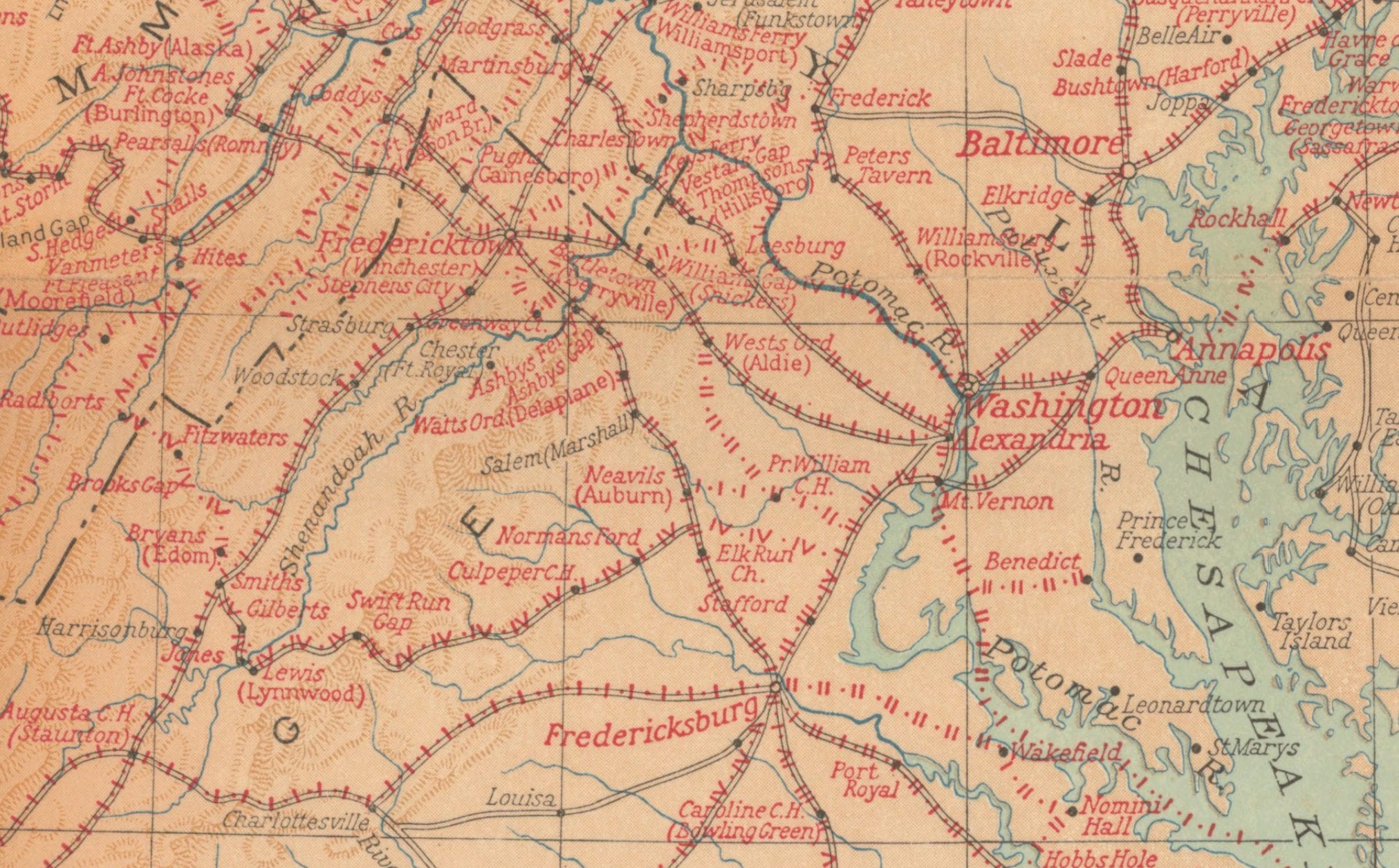
This is one of the more fascinating maps we have come across. It shows every single location George Washington visited during his life, all up and down the east coast. From Savannah in the south to Kittery, Maine in the north. The map below was done by the National Geographic Magazine in honor of the first president’s 200th birthday.
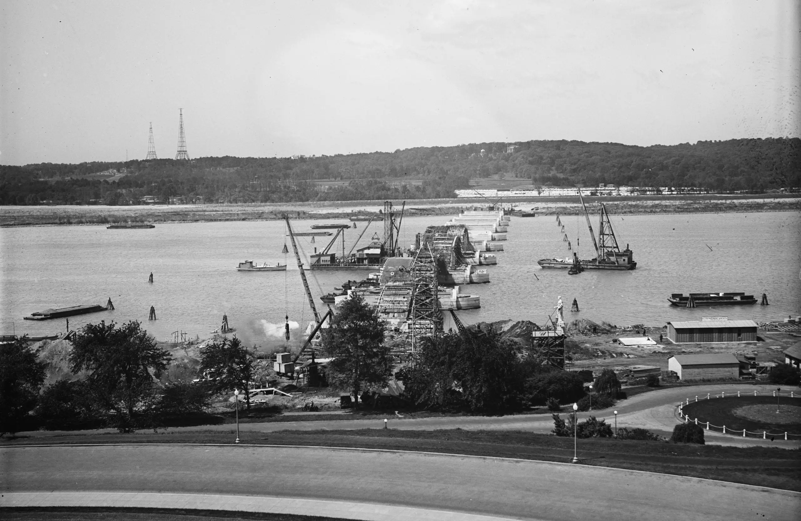
Memorial Bridge under construction on May 15th, 1928. Note the mock-up statue the Commission of Fine Arts set on a pedestal to judge statue height.

A 1950s corner store at 4th and M St. SW, looking up 4th Street toward L. Typical life in Southwest Washington. The same corner looks different today.

In 1956, tourist buses still drove past the front of the White House. GoDCer Bill’s vacation photos show the Washington Monument, Jefferson Memorial, and Federal Triangle from that year.

This is an amazing find on YouTube showing a trip down the C&O Canal back in 1917.
The entire trip took about seven days and they end up down in Washington.
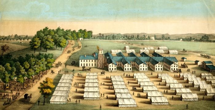
James Holmead received a land grant here in 1727. The area was known as Pleasant Plains, then The Raven, before becoming Mt. Pleasant.

The first Girl Scout Little House was built behind the White House around 1923 and later moved to 1750 New York Avenue NW.
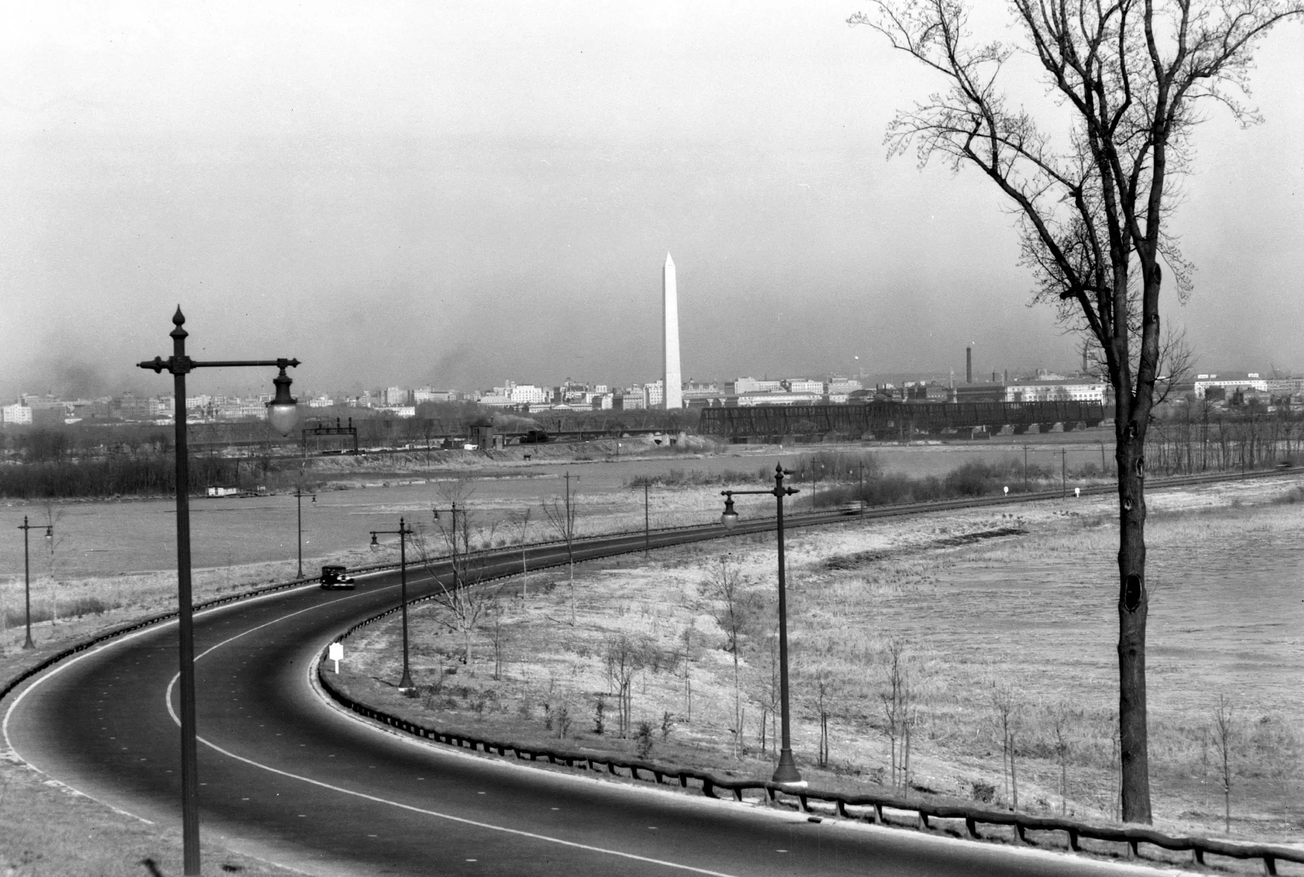
Take a look at this amazing view of the Washington Monument from the George Washington Memorial Parkway. What do you think? Check out GhostsofDC.org for more!
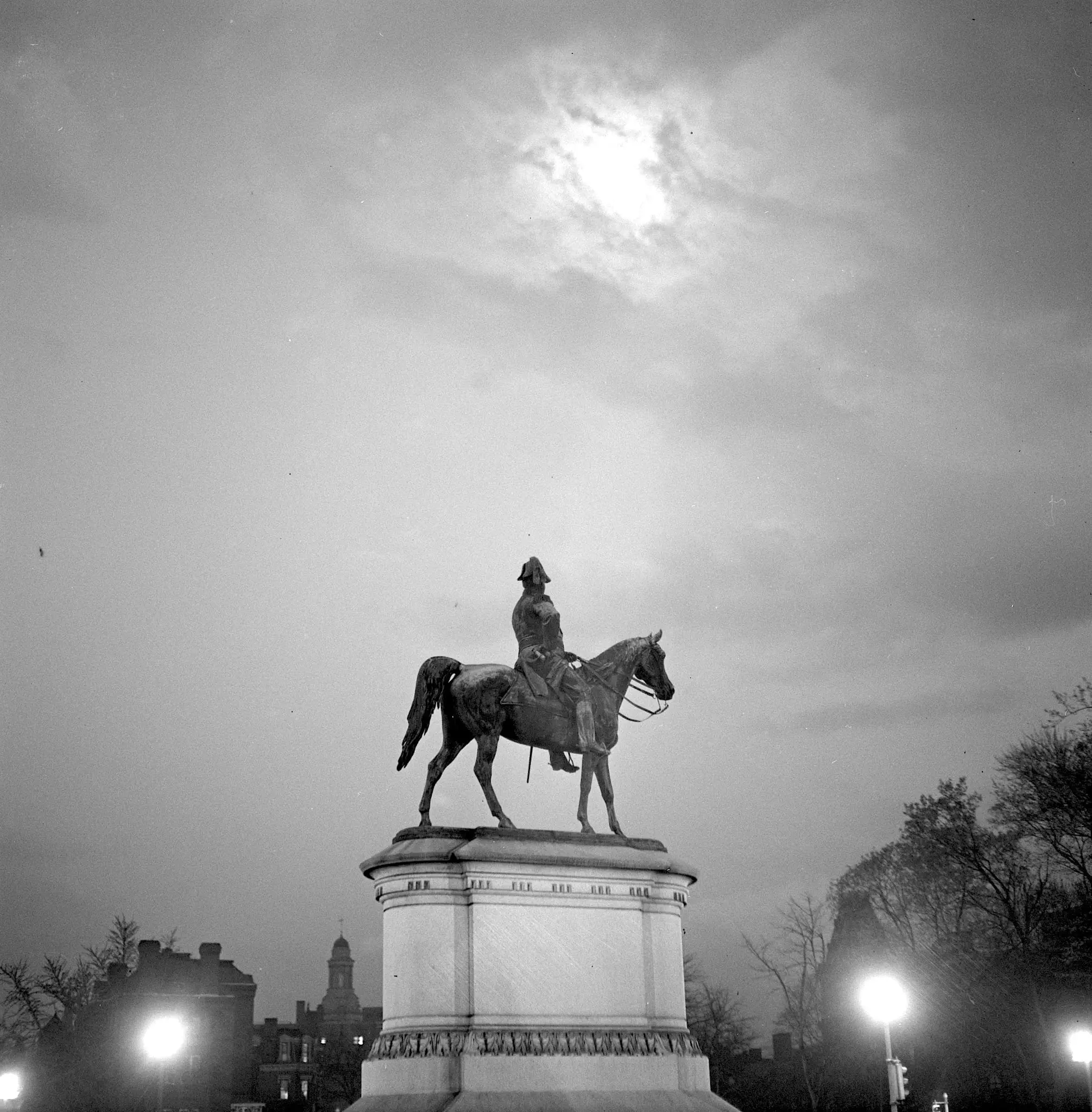
Take a look back in time and explore Scott Circle in Washington, D.C. in April 1943. Check out this great post and aerial view of the circle, as well as a hand-drawn map by Alexander Graham Bell.