
Have you ever found yourself sitting at The Raven in the wee hours, wondering why it’s called Mt. Pleasant? Well, we’ll tell you, and then the next time you find yourself debating the origins with your buddies over a PBR (what is D.C.’s PBR history?), you’ll now have the story to tell.
A man by the name of James Holmead (there’s a street named for him in Columbia Heights) received a land grant in 1727 by Charles Calvert, 5th Lord of Baltimore and governor of the Province of Maryland. The estate included land to the east of Rock Creek and south of Piney Branch, which encompassed today’s Columbia Heights, Adams Morgan, and Pleasant Plains neighborhoods.
His son Anthony inherited the estate in 1750 and named it Pleasant Plains. When the District of Columbia (why is it named Washington, D.C.?) was created in 1791, the land became part of what was then Washington County, part of the District north of Boundary Rd. (now Florida Ave.).
In the 1860s, Samuel Brown purchased a large portion of the land between 14th and 17th St., building a home at 3351 Mt. Pleasant St., which served as a hospital during the Civil War. Eventually he sold all the surrounding land, keeping his home, and named the area Mt. Pleasant Village because it included the highest part of the original Pleasant Plains estate.
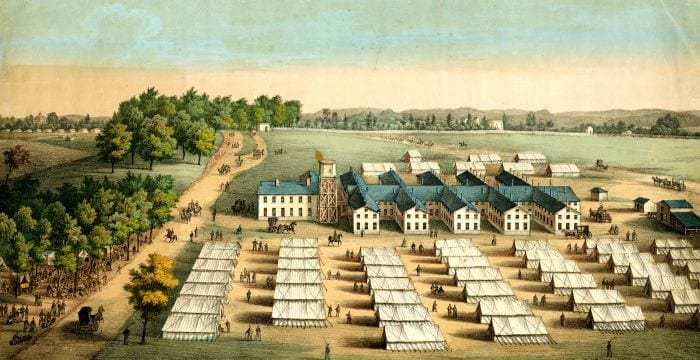
Source: Center for the History of Medicine
Below is a fascinating old land survey of Pleasant Plains from 1804. Click on it for a clearer version.
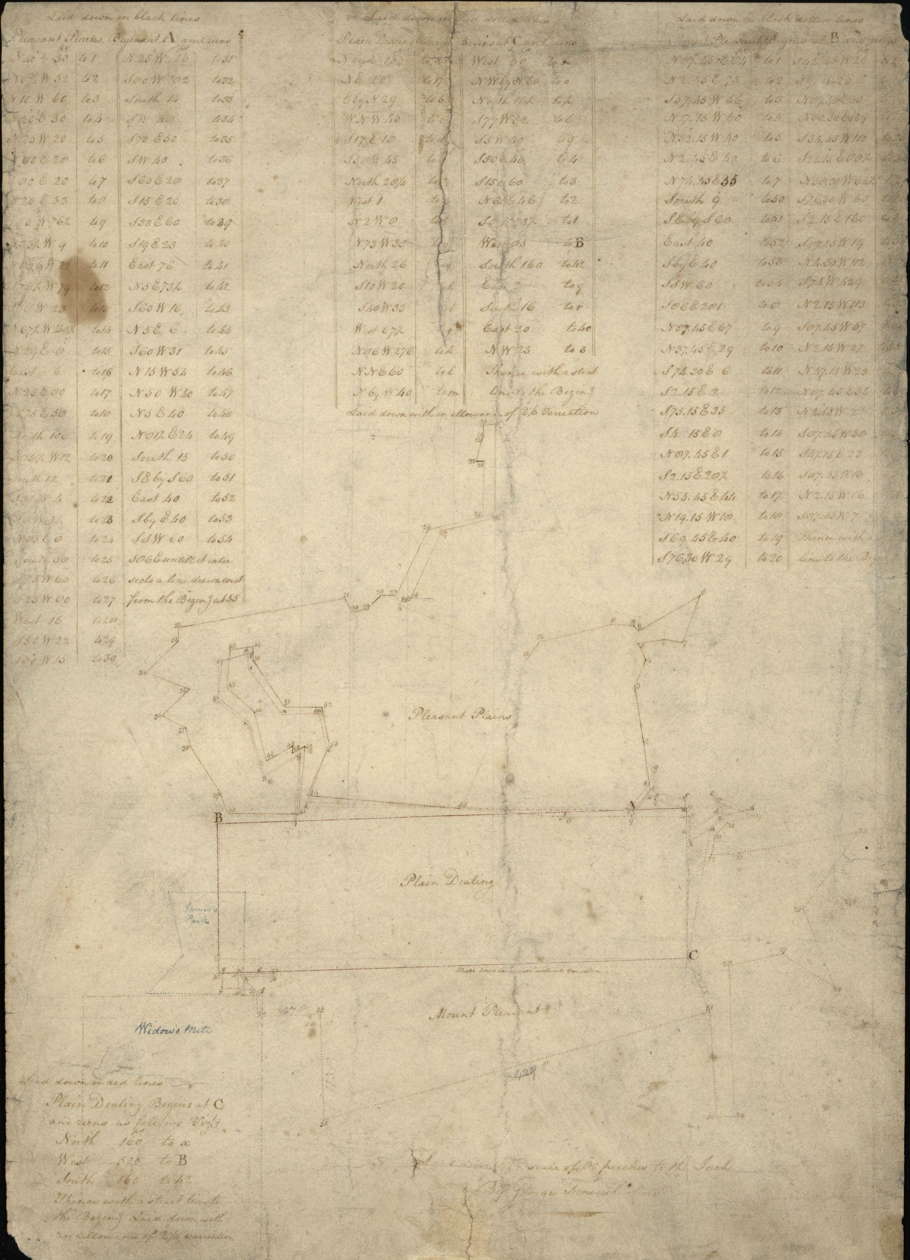
Source: Library of Congress