
Arlington
Just across the Potomac from Washington, Arlington has its own history shaped by the Civil War, the growth of the Pentagon, and the transformation of Northern Virginia from farmland to one of the country’s most densely developed suburbs.
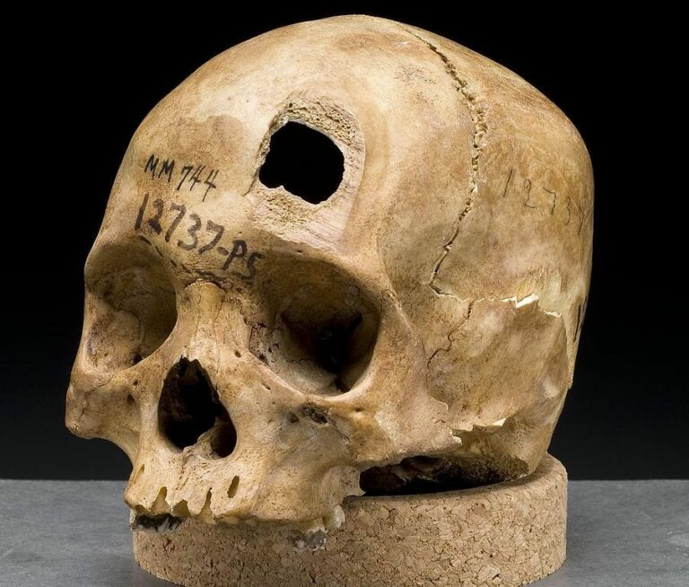 Discovering the Forgotten Ballston Skulls: A Semi-Pro Football Team of the 1930s
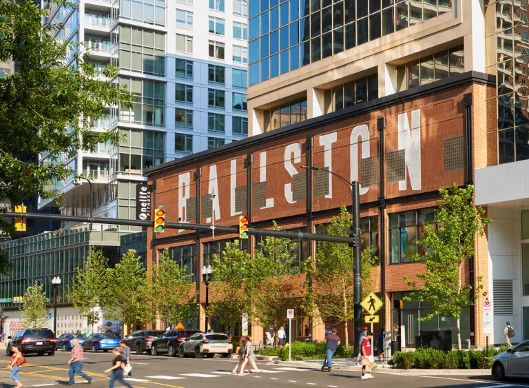 Why Is It Named Ballston? The Ball Family Behind Arlington’s Hub
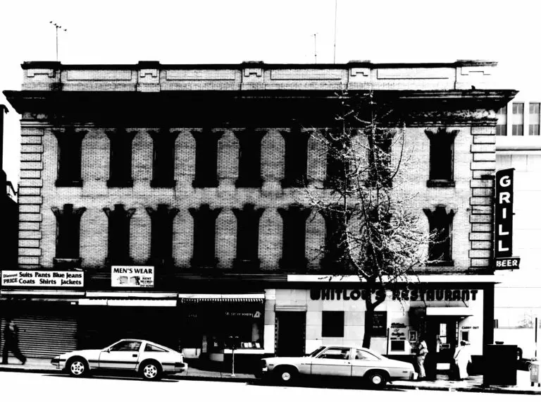 The History of Whitlow’s on Wilson in Arlington
 Exploring Alexandria County in 1879 Through the Library of Congress Map Collection
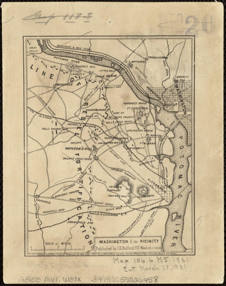 1861 Civil War Map of Rebel Fortifications West of Washington, D.C.
 1930 Assessment Map of Alexandria and Arlington County
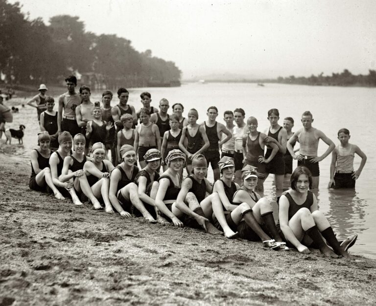 Arlington Beach: A 1920s Amusement Park on the Potomac
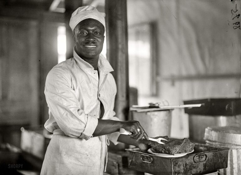 The Smile of an Army Cook at Fort Myer in 1917
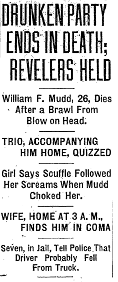 Whoopee Party in Chevy Chase Ends in Tragedy with a Fatal Blow (1929)
More storiesShowing 45 of 49