
When a Record Cold Wave Hit Washington, DC in January 1884
In January 1884, a record cold wave drove Washington temperatures 24 degrees below average. The Evening Star reported frozen pipes and citywide misery.
Victorian Washington was booming in the 1880s. The decade brought the dedication of the Washington Monument (finally finished in 1884), the consolidation of Georgetown into DC, and a wave of grand Romanesque architecture that still defines many of the city’s neighborhoods. These posts explore Washington at its Victorian peak.
In January 1884, a record cold wave drove Washington temperatures 24 degrees below average. The Evening Star reported frozen pipes and citywide misery.
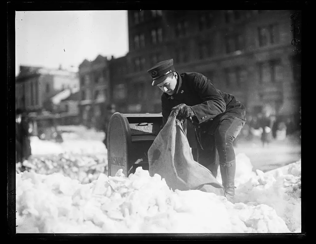
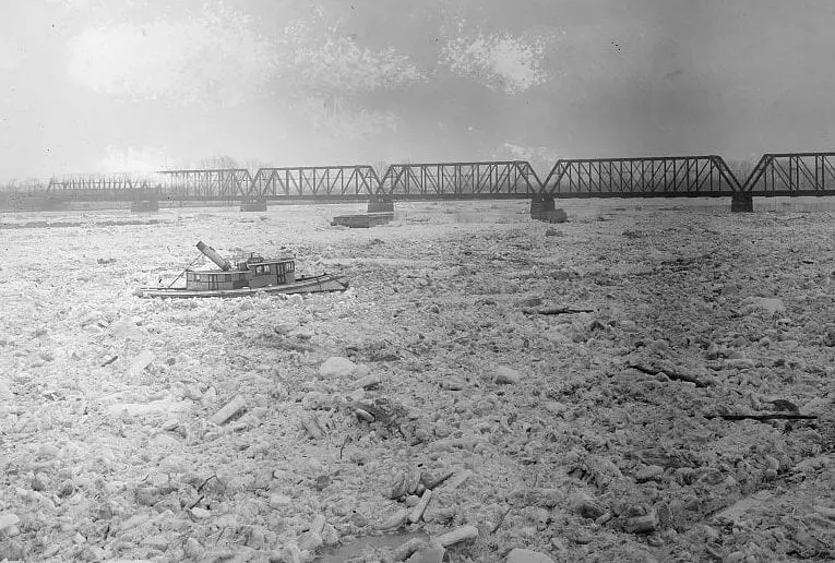
It may not snow this Christmas, but take a look at these pictures of major snow in DC from the 1800s and Early 1900s. See a car buried in snow, people trudging through and a mail carrier doing his job!
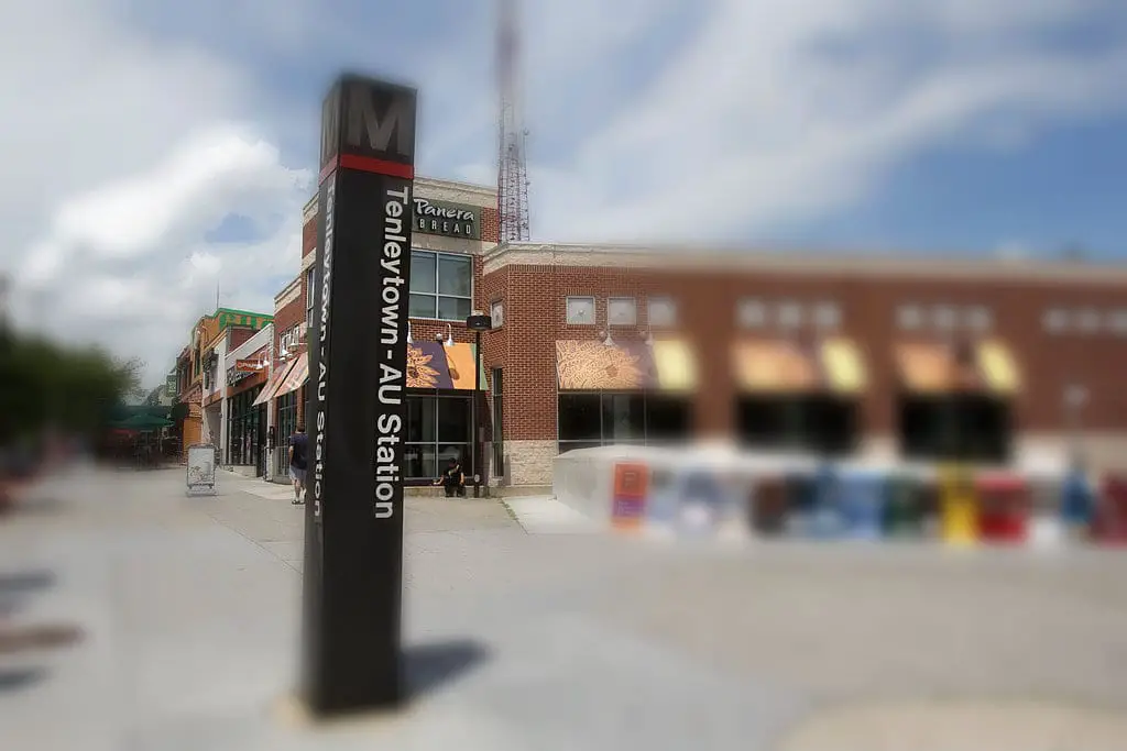
Tenleytown takes its name from John Tennally, an illiterate tavern keeper who ran an inn at the corner of River Road and the Georgetown-Rockville Turnpike around 1790. He signed his name with an X. The resulting spelling free-for-all lasted 200 years.
What an incredible 360-degree panorama of Washington from 1886. This image was taken from the top of the Smithsonian Castle. Don’t miss it!
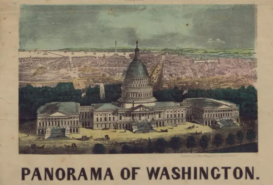
A panoramic print of Washington by 19th-century artist Charles Magnus, showing the city from an elevated perspective.
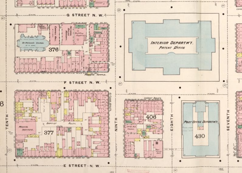
In 1882, Mrs. Ragan successfully ran a boarding house in Washington, D.C. This article explores the key components of what made it so successful, and provides a closer look at the street where it was located.
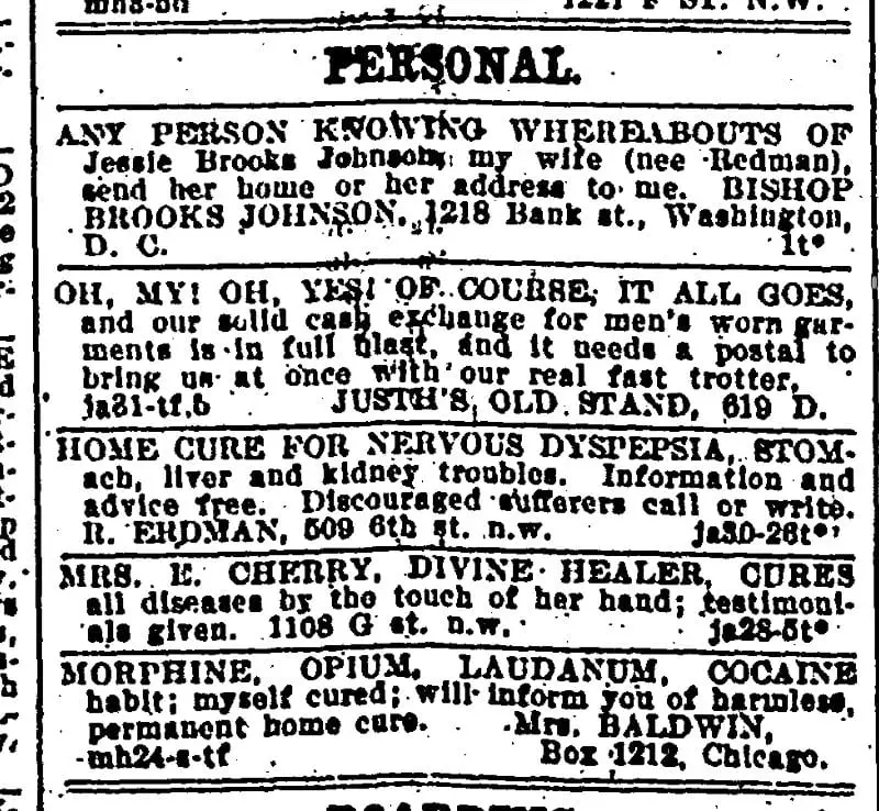
Take a look at these old personal ads from the 1880s. Get a glimpse of the past and see just how odd and intriguing these ads are. From The Evening Star, these are definitely bizarre!
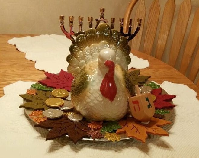
In 1888, mainstream coverage of Thanksgivukkah (the convergence of Hanukkah and Thanksgiving) was minimal. Learn what the Washington Post and National Tribune reported on this rare calendar quirk 125 years ago.
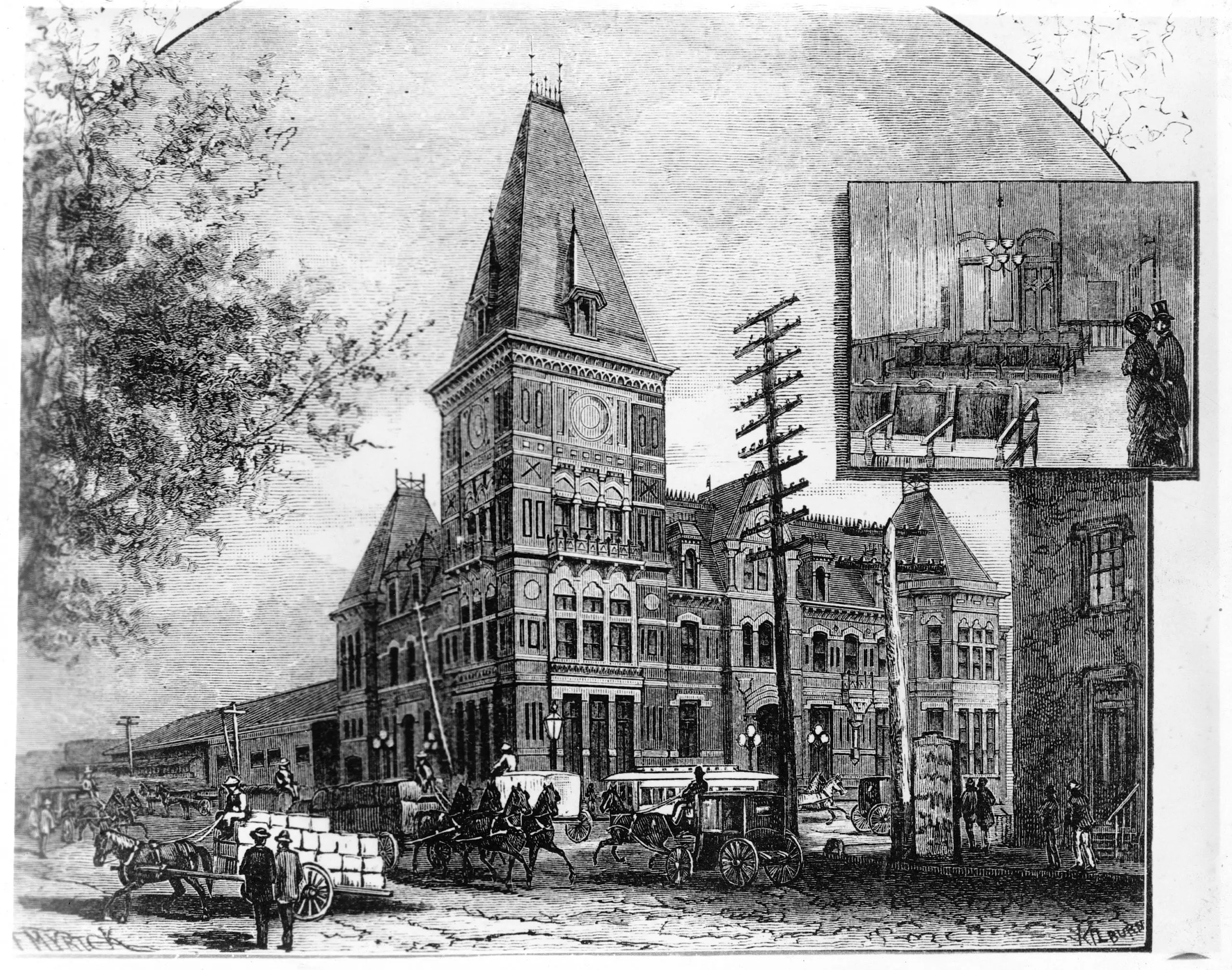
Take a journey back in time and explore the old B&P Railroad Station where President Garfield was assassinated. View an image of the station from the 1880s