
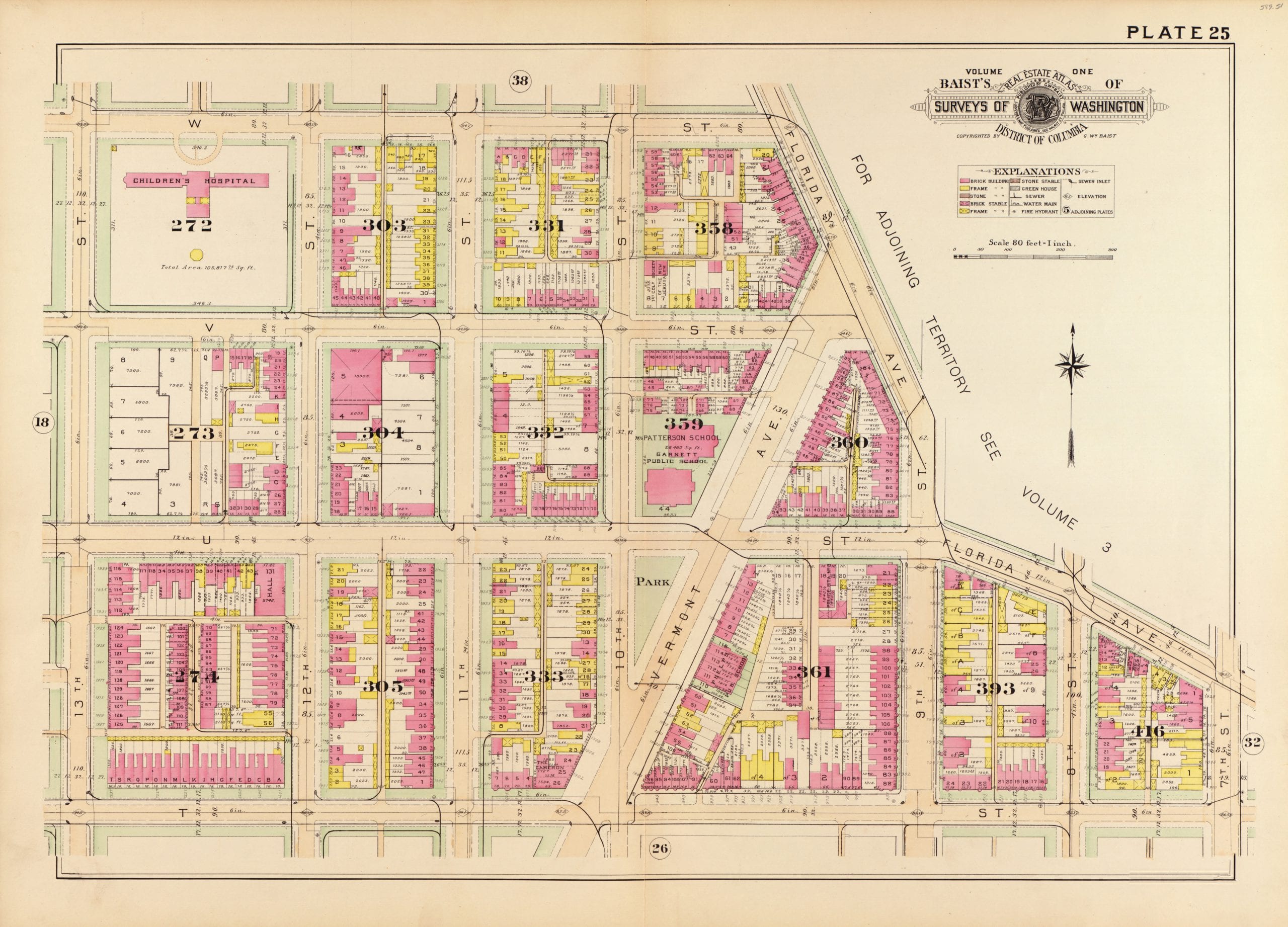
Below is the Baist real estate map of the area around U St. and Vermont Ave. NW. So if you’re a frequent patron of Dodge City, Nellie’s, or the hoppin’ new place, Brixton, this will be pretty interesting to you. Click on either of the images for greater details.
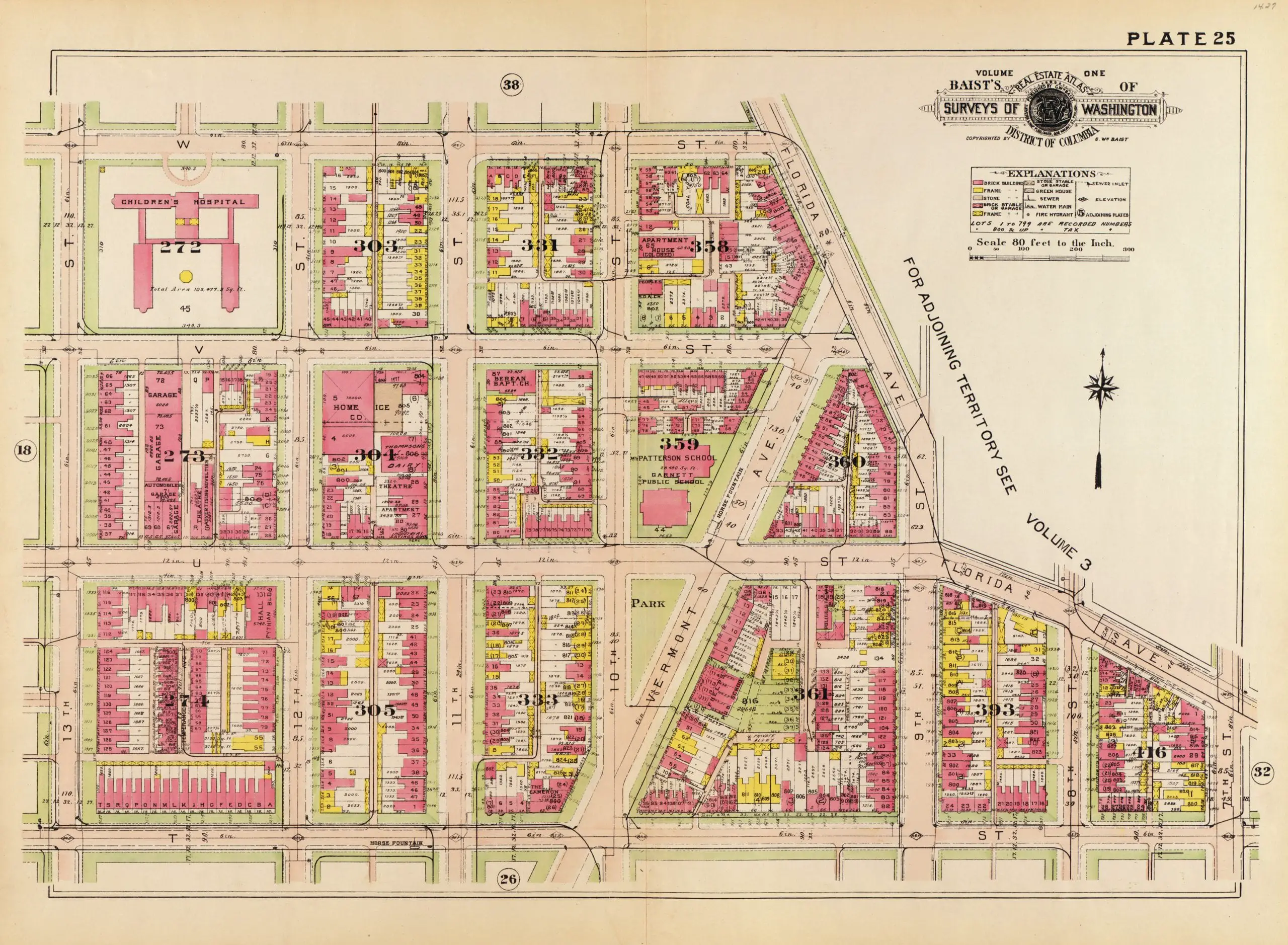
And check out the same area 18 years late in 1921. A large number of the frame houses are gone, replaced by brick structures.
We love these maps. They’re amazing.
I also like that by the 1921 version, they’re replaced “Stable” with “Stable or Garage.” The times they were a-changin! Also, Children’s Hospital? I guess I’m kinda new to DC but when did that go away?
Used to Live on 9 1/2 street …miss it.