Skip to content
The Best Of
Neighborhoods
Southwest DC
Waterfront
Maryland
Gaithersburg
Rockville
Bethesda
Hyattsville
Silver Spring
Bladensburg
Virginia
McLean
Falls Church
Alexandria
Vienna
Arlington
Southeast DC
Congress Heights
Navy Yard
Capitol Hill
Anacostia
Northeast DC
Trinidad
Woodridge
Deanwood
Brookland
Northwest DC
Tenleytown
Park View
Friendship Heights
Brightwood
Crestwood
Sheridan-Kalorama
The Palisades
Logan Circle
Petworth
Glover Park
Bloomingdale
Georgetown
Woodley Park
Dupont Circle
Columbia Heights
Cleveland Park
Adams Morgan
Mt. Pleasant
Chevy Chase
Cathedral Heights
Chinatown
Lost Neighborhoods
Hell’s Bottom
Swampoodle
Murder Bay
Notable People & Places
Places
Washington Monument
Library of Congress
The White House
The Capitol Building
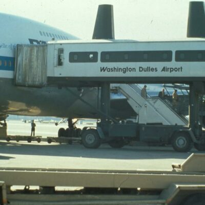
Dulles Airport
People
Franklin D. Roosevelt
Calvin Coolidge
Officer Sprinkle
Dwight D. Eisenhower
Warren G. Harding
William McKinley
Abraham Lincoln
John F. Kennedy
Teddy Roosevelt
Woodrow Wilson
Published
January 11, 2013
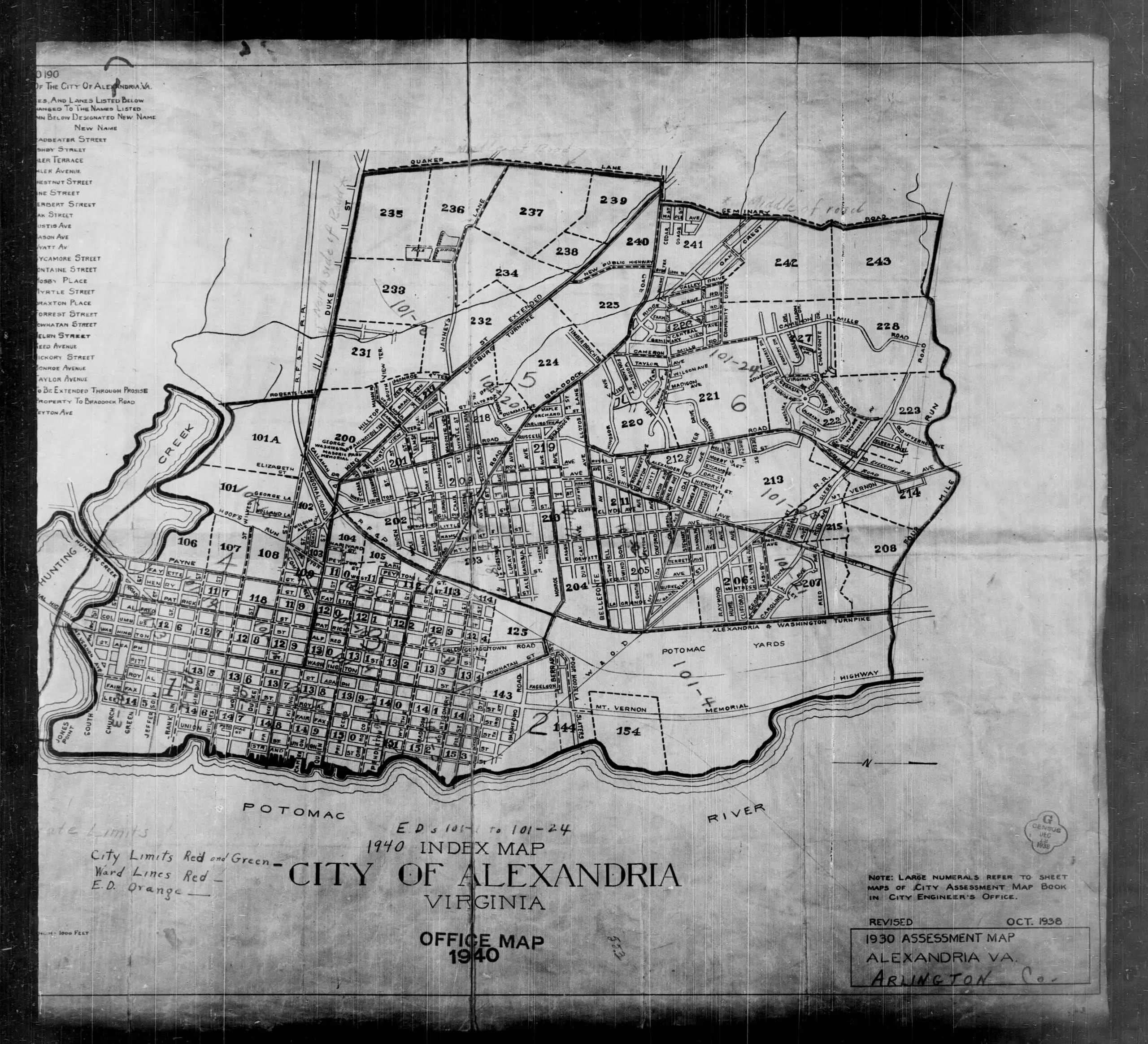
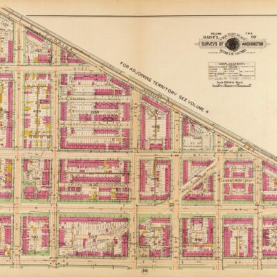
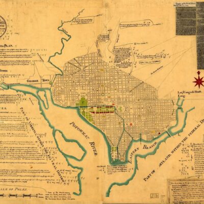
Exploring Alexandria and Arlington County Through an Assessment Map
Discover what Alexandria and Arlington County looked like in 1930 with this assessment map. Get a closer look at the area's buildings and geography in this detailed map!
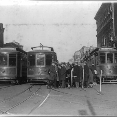
Exploring Washington DC History Through Old Photos: Streetcars at 15th and New York Ave. NW
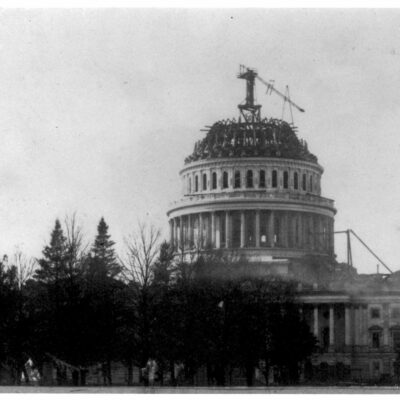
A Rare Look at the Capitol Dome Under Construction During the Civil War
No posts found
More maps! Below is a great assessment map of Alexandria and
Arlington
County.
1930 assessment map of Alexandria
More For You
“The Thrill of Being a Summer Soldier at the Citizens' Military Training Camp”
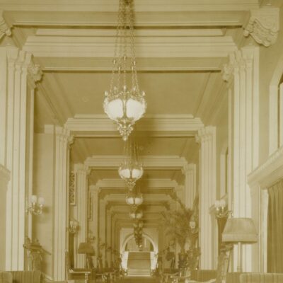
Take a Trip Down Memory Lane: Peacock Alley in the Willard Hotel
No posts found
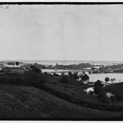
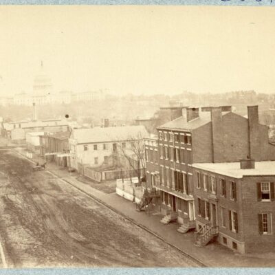
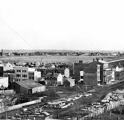
A Rare Look at Washington, DC from the Top of Georgetown in 1865
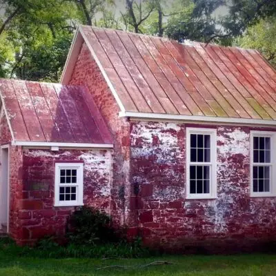
Exploring the 19th Century Seneca Schoolhouse Museum in Montgomery County, Maryland
No posts found
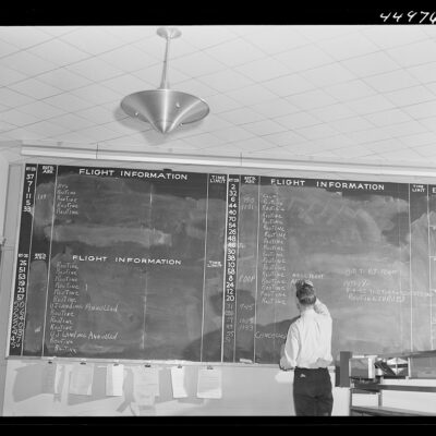
What Did National Airport Look Like in 1941?
Gone With the Wind? A Bizarre Incident at Meridian Hill Park in 1938
No posts found
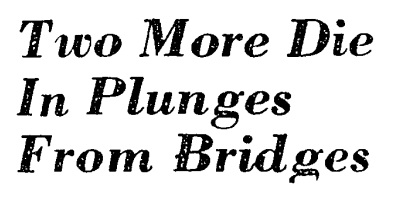
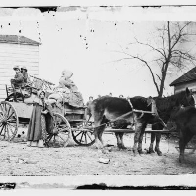
Three Men Jump to Their Deaths off Washington Bridges in 1946
The Mysterious Old Building on 14th St. in Logan Circle: A 1942 Photo and Today
No posts found
Awesome Old Pan Am Advertisements
Why Is It Named Trinidad?
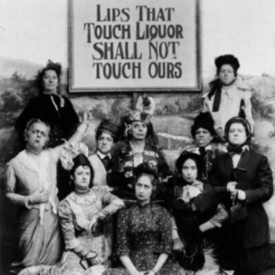
March for Prohibition: "Lips That Touch Liquor Shall Never Touch Mine"
No posts found
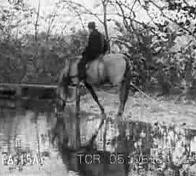
1917 Film Footage of 180-Mile Journey Down Chesapeake and Ohio Canal
Why is Washington, DC Called the District of Columbia?
Uncovering the History & Origin of Annandale, VA
No posts found
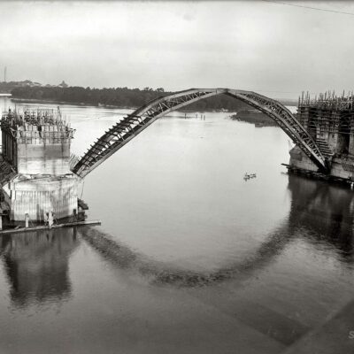
The Construction of Key Bridge Connecting Georgetown and Rosslyn
Why Is It Named Centreville?
A Look at Maine Ave. SW in 1865, Right Around the Time of President Lincoln's Assassination
No posts found
Popular Posts
Where Was Murder Bay in Washington, DC?
No posts found
A Trip Down Memory Lane - Exploring the "Lawyers' Row Block" in Arlington from the Early 1990s
Revisiting the Construction of the Washington DC Metro
Senior Prom at the White House
A Foreigner's Impressions of Washington in 1799
No posts found
Enjoy daily
Ghosts of DC stories.
SUBSCRIBE
No thanks.