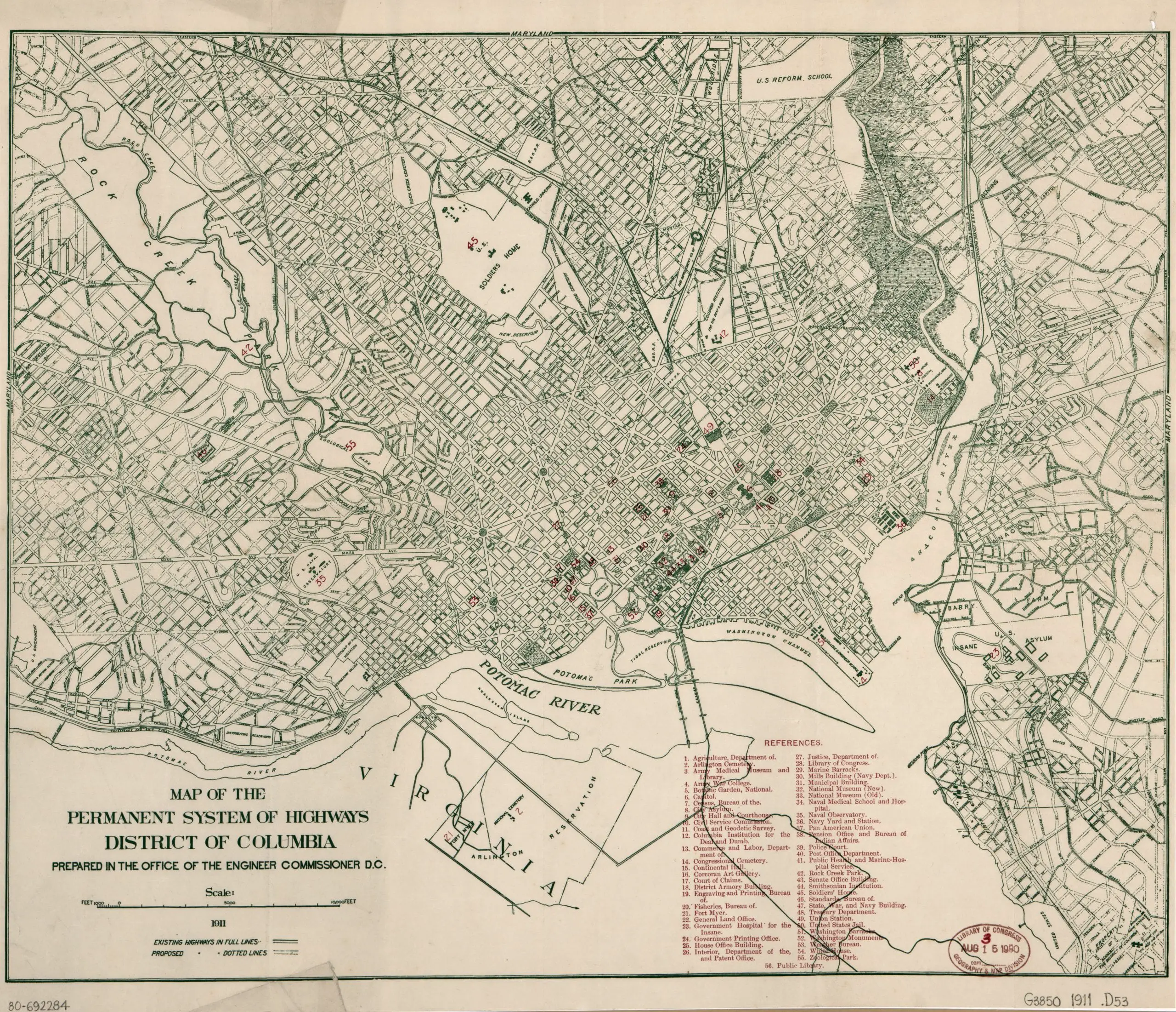
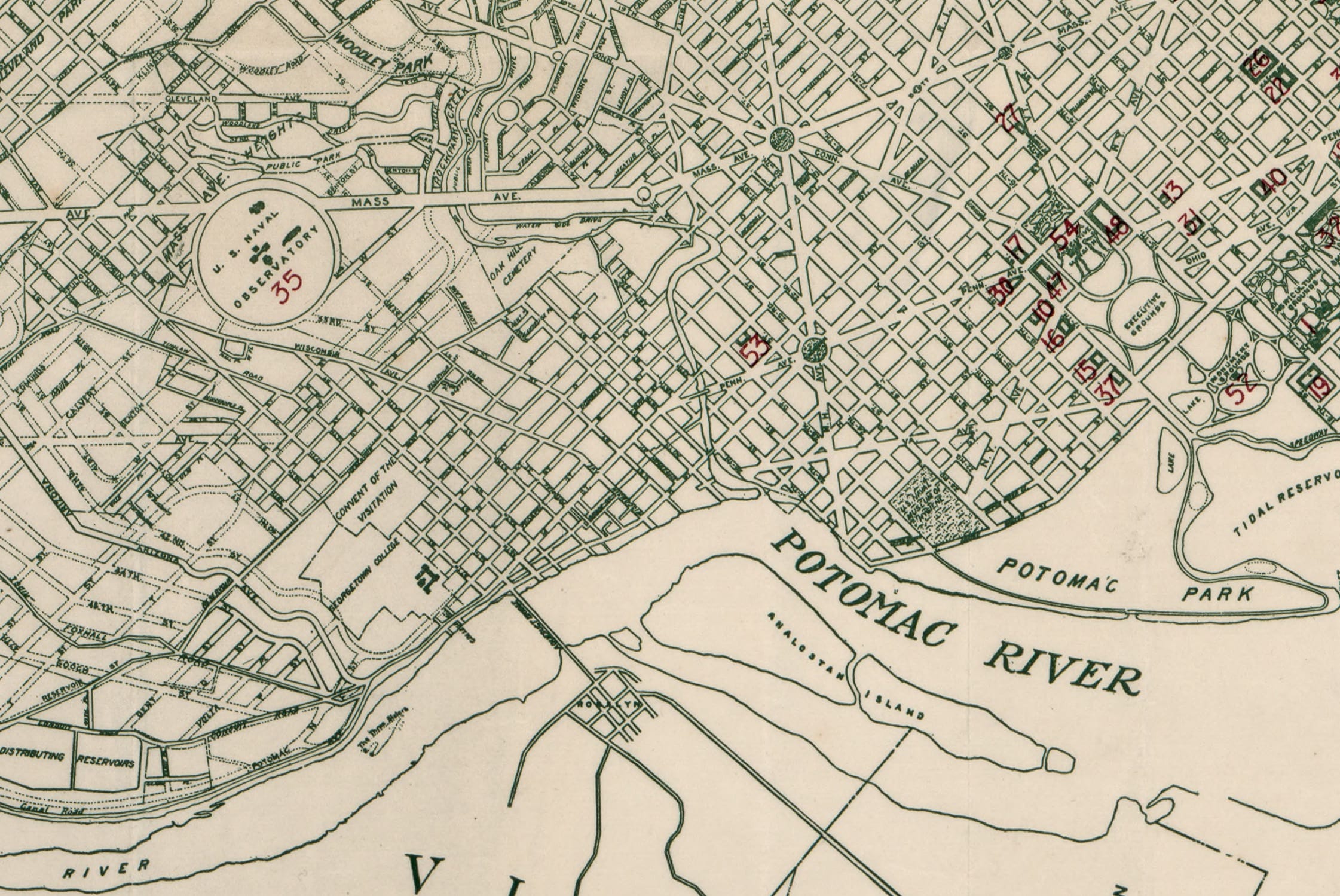
Neighborhoods
Northwest DC
Adams Morgan
Bloomingdale
Brightwood
Cathedral Heights
Chevy Chase
Chinatown
Cleveland Park
Columbia Heights
Crestwood
Dupont Circle
Friendship Heights
Glover Park
Logan Circle
Mt. Pleasant
The Palisades
Park View
Petworth
Sheridan-Kalorama
Tenleytown
Woodley Park
Georgetown
Northeast DC
Brookland
Deanwood
Trinidad
Woodridge
Southeast DC
Anacostia
Capitol Hill
Congress Heights
Navy Yard
Southwest DC
Waterfront
Maryland
Bethesda
Bladensburg
Gaithersburg
Hyattsville
Rockville
Silver Spring
Virginia
Alexandria
Arlington
Falls Church
McLean
Vienna
Lost Neighborhoods
Hell’s Bottom
Murder Bay
Swampoodle
Notable People & Places
People
Abraham Lincoln
Calvin Coolidge
Dwight D. Eisenhower
Warren G. Harding
John F. Kennedy
William McKinley
Franklin D. Roosevelt
Teddy Roosevelt
Officer Sprinkle
Woodrow Wilson
Places
The Capitol Building
Dulles Airport
Library of Congress
Washington Monument
The White House
The Best Of
Menu
Neighborhoods
Northwest DC
Adams Morgan
Bloomingdale
Brightwood
Cathedral Heights
Chevy Chase
Chinatown
Cleveland Park
Columbia Heights
Crestwood
Dupont Circle
Friendship Heights
Glover Park
Logan Circle
Mt. Pleasant
The Palisades
Park View
Petworth
Sheridan-Kalorama
Tenleytown
Woodley Park
Georgetown
Northeast DC
Brookland
Deanwood
Trinidad
Woodridge
Southeast DC
Anacostia
Capitol Hill
Congress Heights
Navy Yard
Southwest DC
Waterfront
Maryland
Bethesda
Bladensburg
Gaithersburg
Hyattsville
Rockville
Silver Spring
Virginia
Alexandria
Arlington
Falls Church
McLean
Vienna
Lost Neighborhoods
Hell’s Bottom
Murder Bay
Swampoodle
Notable People & Places
People
Abraham Lincoln
Calvin Coolidge
Dwight D. Eisenhower
Warren G. Harding
John F. Kennedy
William McKinley
Franklin D. Roosevelt
Teddy Roosevelt
Officer Sprinkle
Woodrow Wilson
Places
The Capitol Building
Dulles Airport
Library of Congress
Washington Monument
The White House
The Best Of
Support
-ad 626-
Published
October 20, 2015
in
GoDCers Love Maps
1911 Map of D.C. Streets and Highways
1910s
Search
-ad 188-
Share on facebook
Facebook
Share on twitter
Twitter
Share on pinterest
Pinterest
This old map shows the highways in and around Washington in
1911
.
Map of the permanent system of highways,
District of Columbia
in 1911
-ad 197-
Source:
Library of Congress
READ:
When Did the Howard Theatre Open?
-ad 617-
Recommended for You
Remember Au Pied de Cochon?
Photos of 1940s Boarding House Living
Beautiful 1913 Night Photo of Pennsylvania Ave.
Senior Prom at the White House
Babe Ruth Runs Into Wall; Knocked Unconscious
Shark Attacks in the Potomac in 1911?
City of Washington Property Values Map From 1880
Amazing View From Capitol Dome in 1863
-ad 618-
Today's Featured Posts
More Pictures of the Unbuilt Grant Memorial Bridge
Reader’s Choice: Why is Syracuse University in Woodley Park?
Unfurnished Apartment in Adams Morgan for $37.50
Abandoned Capitol Traction Company Powerhouse in 1967
Pentagon Seen From the Air in the 1940s
Revised Highway Plan for Washington in 1897
-ad 619-
Search
-ad 615-
Metro’s 17-Foot Long “Experimental Station” in 1968
Why Is It Named Trinidad?
Map of Washington Subdivisions in 1961
The Story of Russian Oligarch Oleg Deripaska’s Mansion
Robert Todd Lincoln at His Father’s Memorial Dedication
Video Visualizing Early Washington, D.C.
If Walls Could Talk: The Red House at 2511 Cliffbourne Pl. NW – Part 3
Abraham Lincoln in Color (1865)
Lips That Touch Liquor Shall Not Touch Ours
Murder Bay, the Rough-and-Tumble Lost Neighborhood
-ad 616-
Best of Ghosts of DC
OMG! Retro Metro … This Informercial is Amazing
Really Old Pre-Civil War Photo of Washington
Which President Got a Speeding Ticket on a Horse?
The Capitol Dome Was Once Red
Amazing Photo of Washington Monument Apex
Mormon Temple Outside D.C.: Three Great Stories
-ad 189-