
GoDCer Chris graciously offered to share this cool aerial photo of Washington, taken sometime in the 1940s. Compare it to the Google Map below.
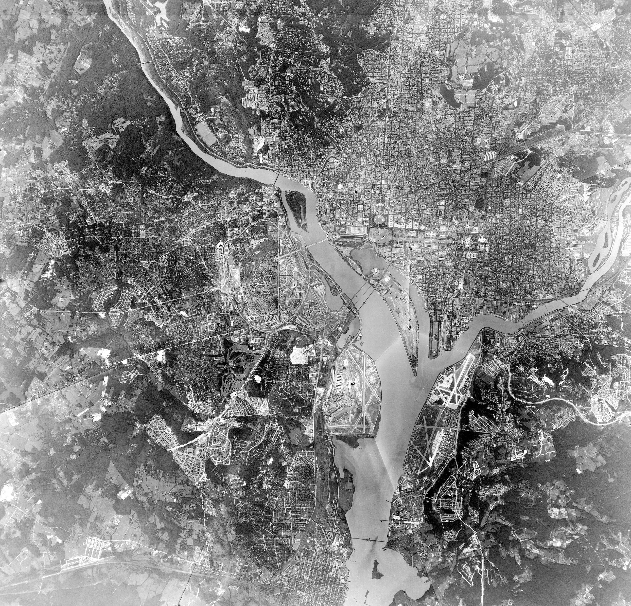
GoDCer Chris graciously offered to share this cool aerial photo of Washington, taken sometime in the 1940s. Compare it to the Google Map below.
Comments are closed.
Wild. So 395 basically ended in Fairlington/Shirlington?
Wow, where do I start with old and new Alexandria?
One of the coolest sights is the old bed for the Alexandria Canal, running along side Potomac Yard’s western border.
Did that get used for the Metro line?
can you search for old photos in specific neighborhood?
So there WAS a bridge at T Street NE crossing the railroad tracks! I’d seen it on old maps but never in a photograph. (And occasionally, a new map thinks a bridge is still there too.)
Can anyone identify the bridge over the Anacostia appearing between the 11th Street Bridge and the Sousa Bridge in the photograph? I can find no record of it anywhere else, except for a couple historic pictures, from about the same time, on the Navy Yard’s website. It’s misidentified as the Sousa Bridge in the caption, however.
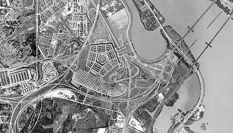
Catalog #: NH 97842