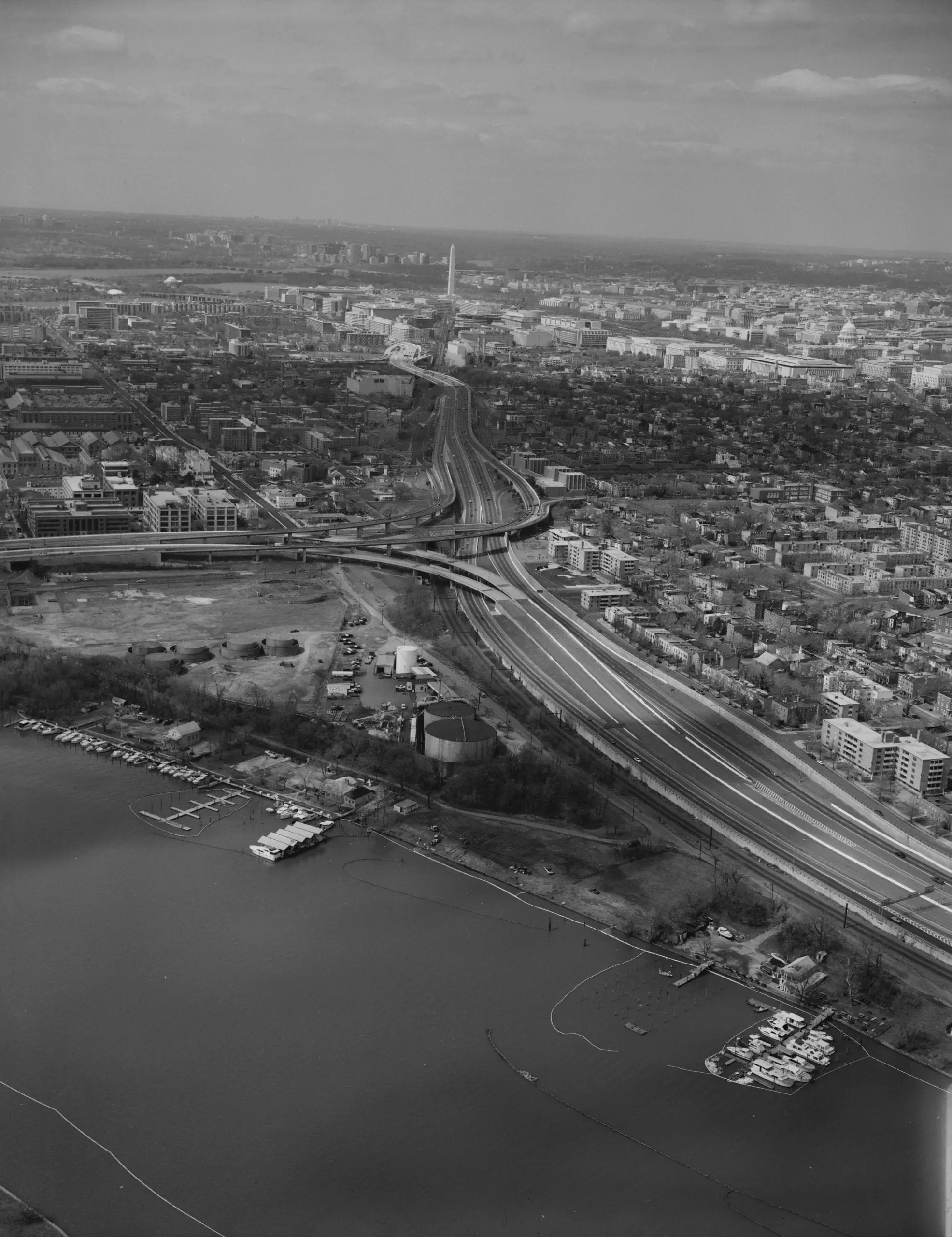
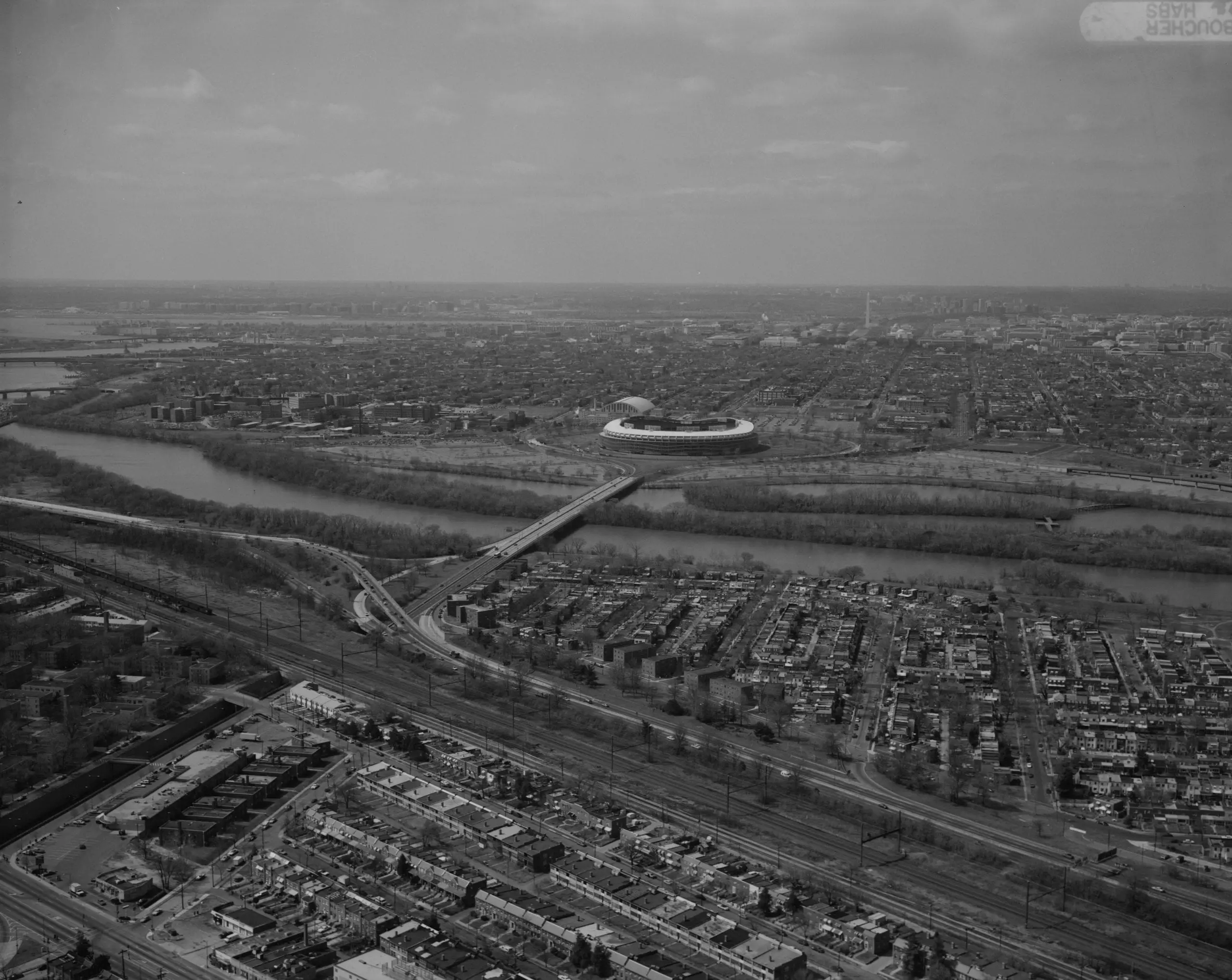
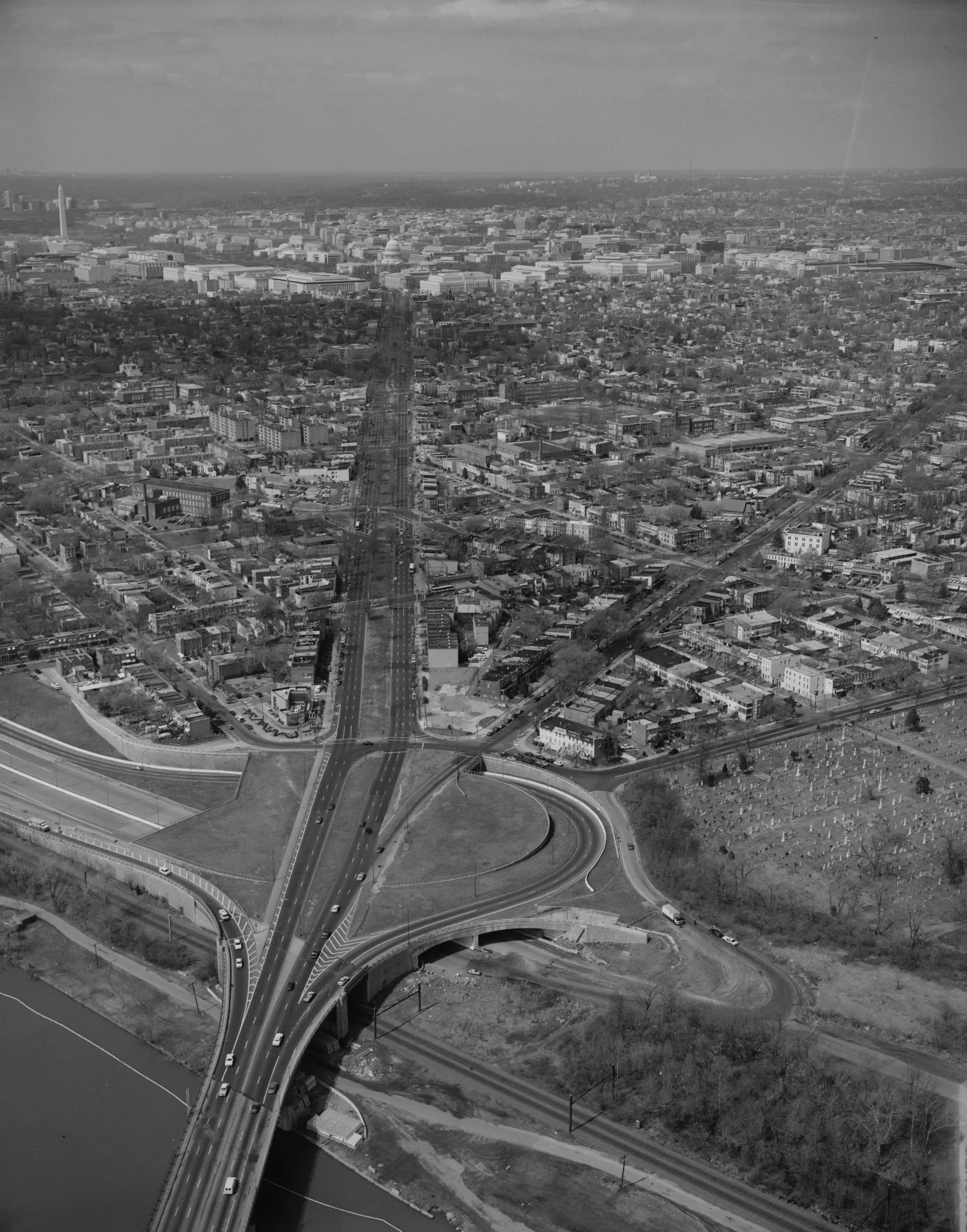
Here is a great series of photographs, showing Washington in the 1960s, as viewed from the east.
view of Washington from the eastview of Washington from the eastview of Washington from the eastview of Washington from the east
4 thoughts on “A Look Back in Time: Capturing Washington in the 1960s from the East”
Just a quick note — none of these are actually views from Anacostia. Anacostia is the relatively contained neighborhood directly across the Anacostia River from the Washington Navy Yard, bounded generally by the river, Good Hope Road, Howard Road, and Fort Stanton Park.
My house is somewhere in that 3rd photo
I know that the 3rd photo is where Barney Circle used to be. On the left of that circle is Congressional Cemetery, and across the street from there is where my old boyfriend lived and next to it, is where his mother and sisters lived. Ariel view right over the Sousa bridge looking at Pennsylvania Ave. Sure wish the streetcars were still in that circle.
Correction, on the RIGHT of that circle, not the left.