
This map is a little difficult to see, but it’s a great old plan of Washington on Capitol Hill. The streets are laid out and the lots and marked. (To orient yourself, up on the map is west.)
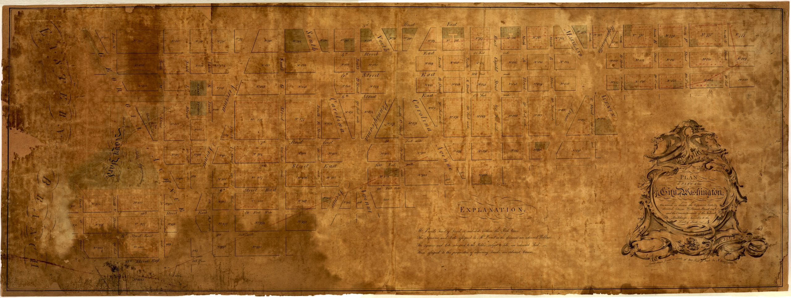
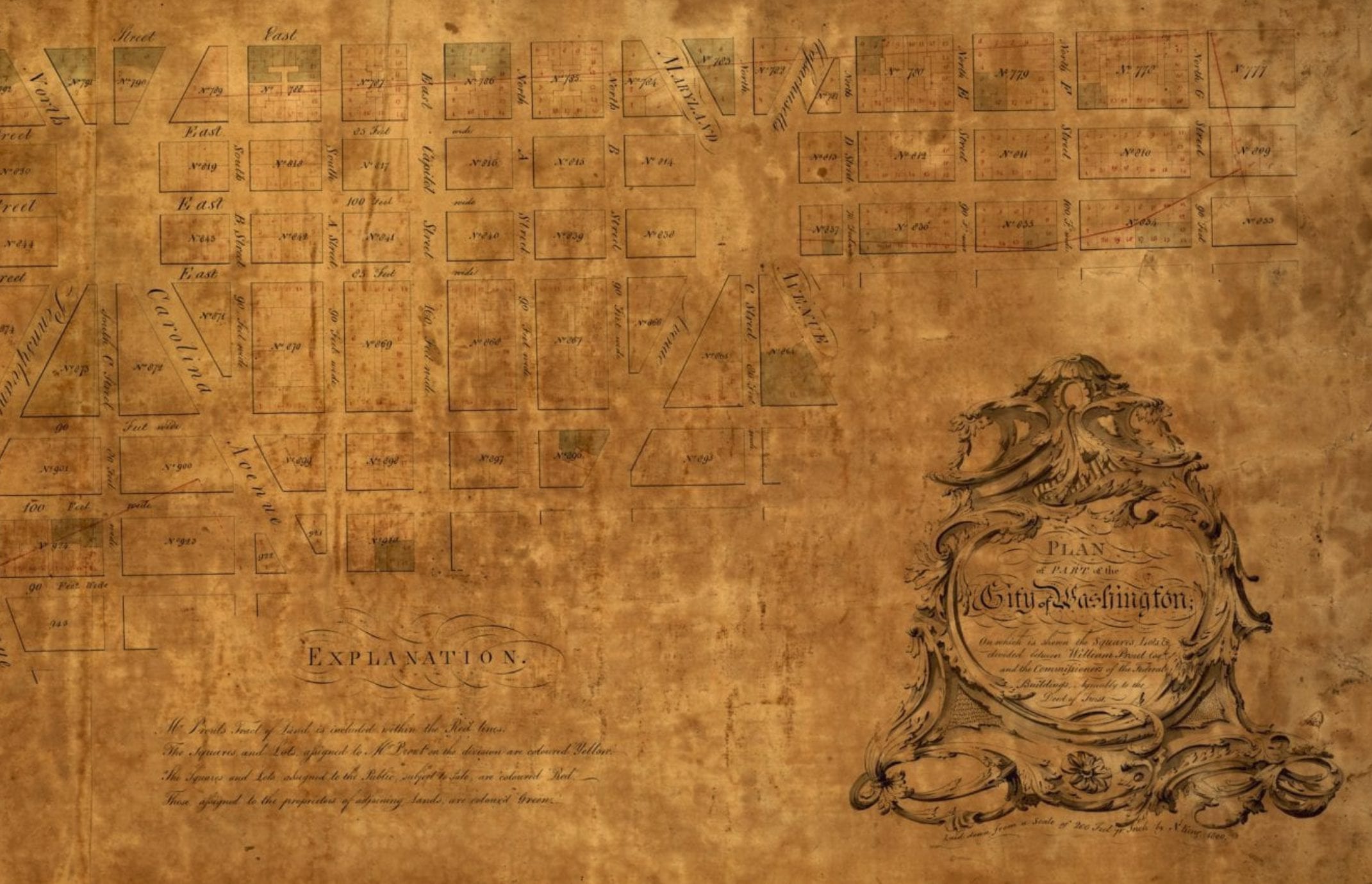
This map is a little difficult to see, but it’s a great old plan of Washington on Capitol Hill. The streets are laid out and the lots and marked. (To orient yourself, up on the map is west.)
Comments are closed.
I notice a glimpse of the original intent of L’Enfant. The ‘squares’ that appear were to designate land donated to each of the states for their own development, a quite ingenious way to build a capital city quickly. It would have also taken significant parcels out of the (immediate) hands of speculators. The plan for donating the land to states never materialized. It turned into a huge cluster-*%& for sure. The capital city could have ended up looking like Arlington.
Just a few blocks away from my house