
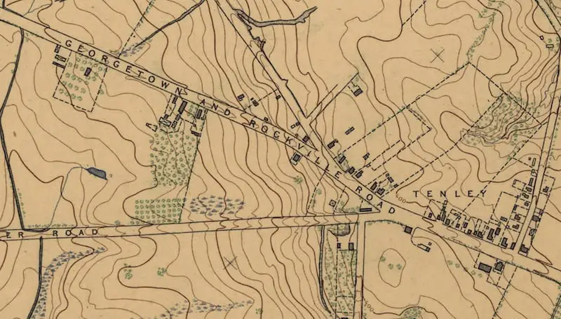
How cool is this old map? It shows a very rural upper northwest Washington in 1892, with the area surrounding what is now Tenleytown. This map is from a U.S. Coast and Geodetic survey.
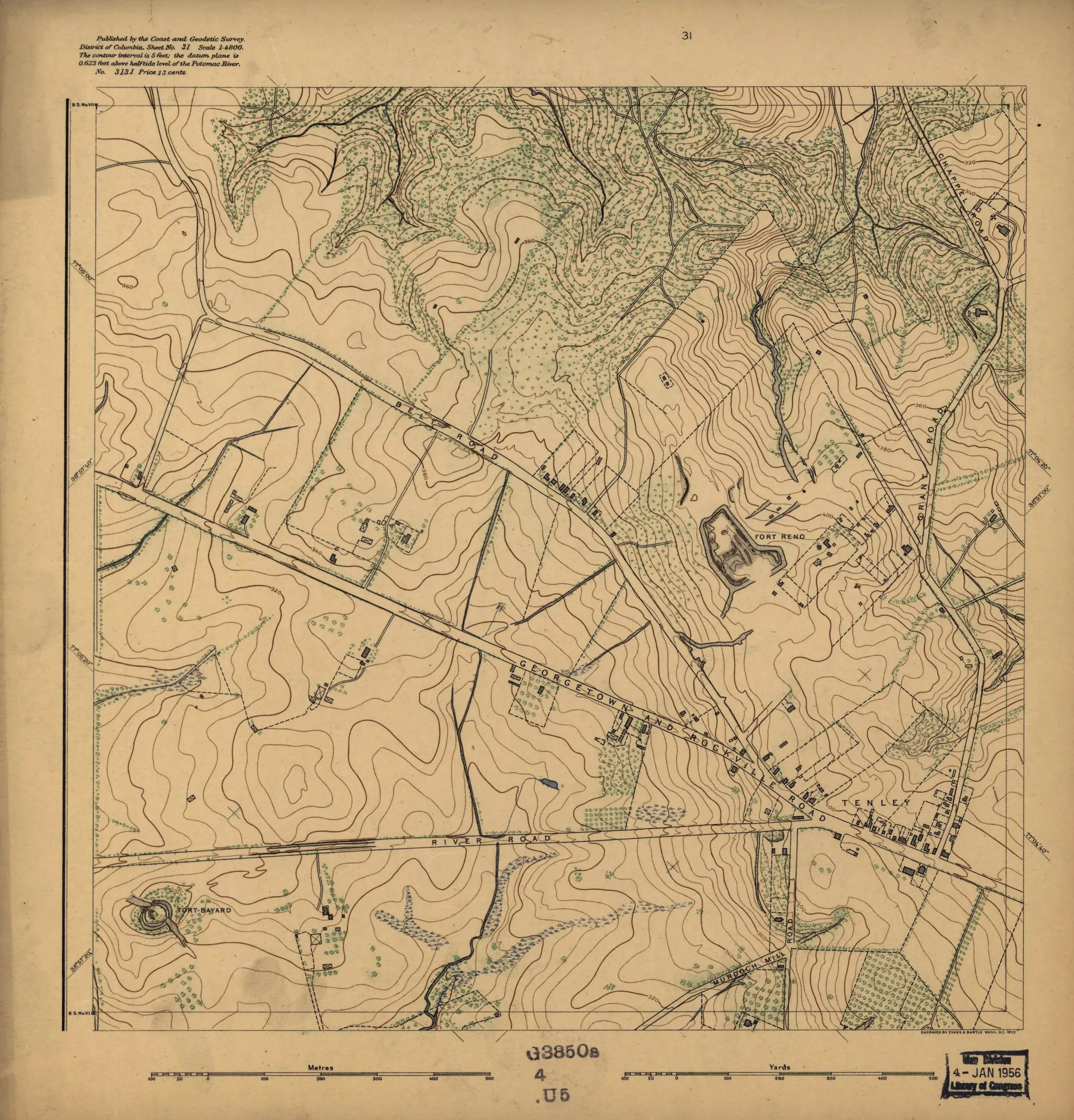
Covers District of Columbia outside former Washington city limits (Florida Avenue).
Source: Library of Congress