
-
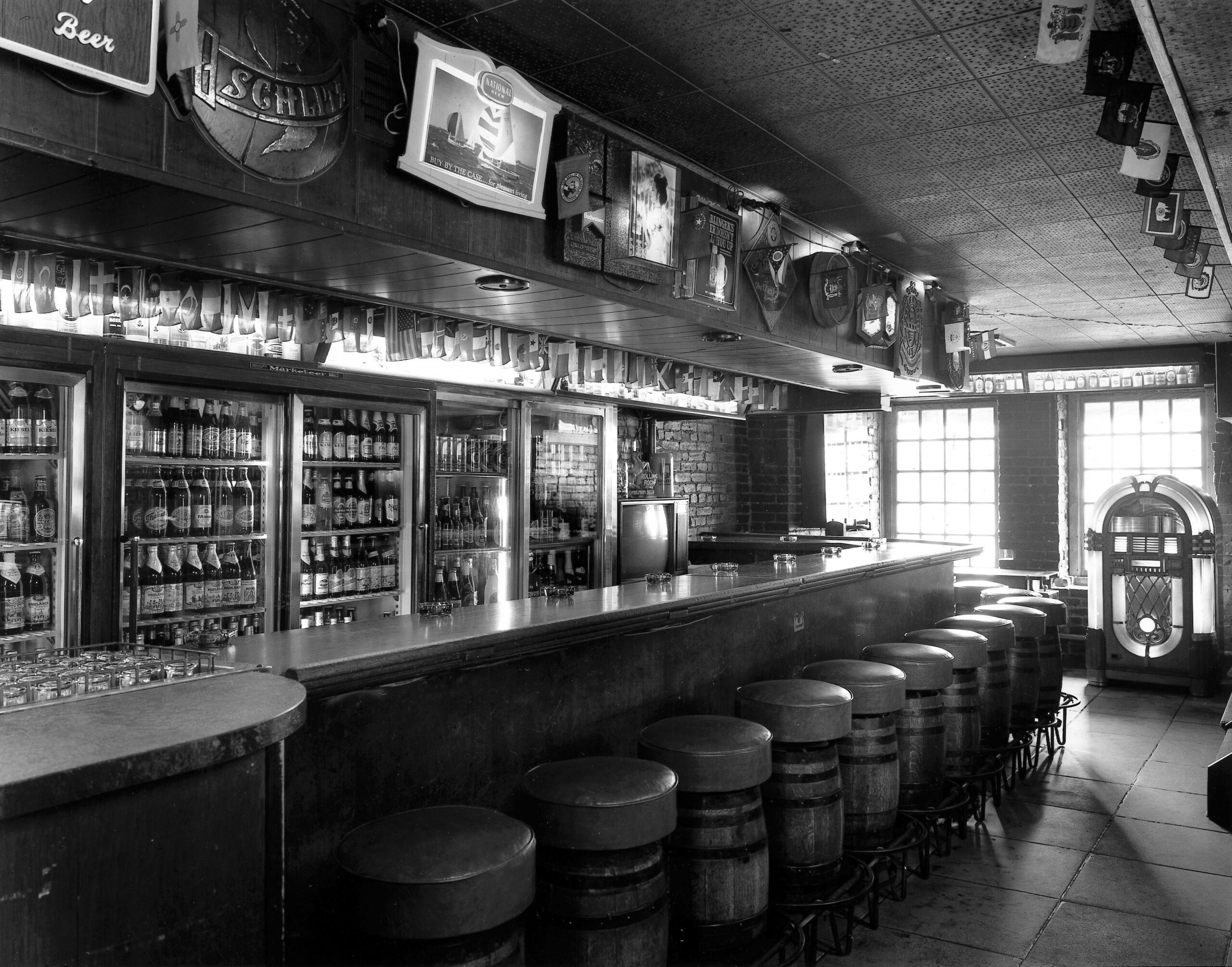
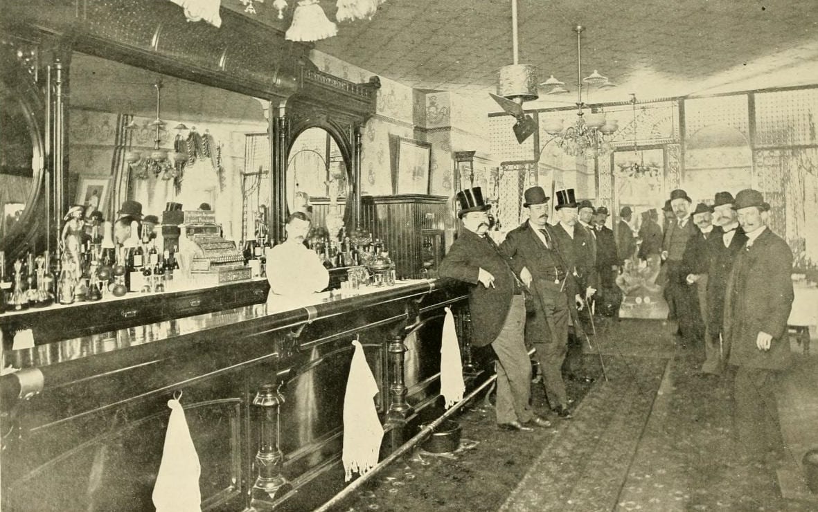
The Brickskeller: Dupont’s Legendary Basement of Beers
Brickskeller was an iconic DC institution that many locals remember fondly. Learn about its slow demise and the beer renaissance that arrived in DC, as well as a look back…
-
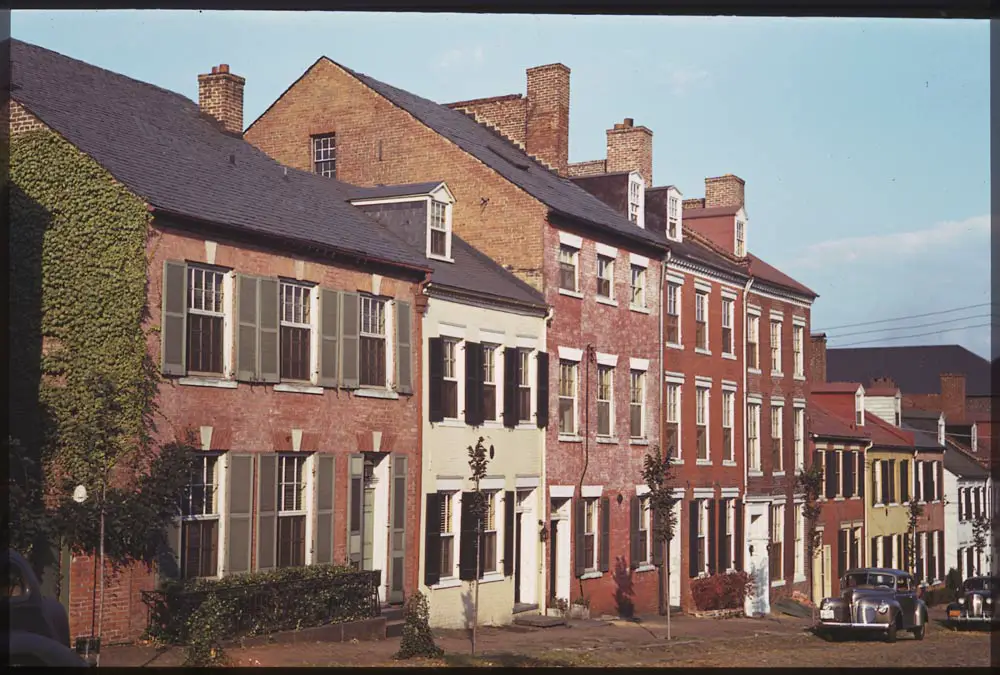
Exploring Alexandria, Virginia Through Vintage Photos From September 23rd, 1940
Take a look back in time and explore Alexandria, Virginia through vintage photos taken on September 23rd, 1940. Enjoy a…
-
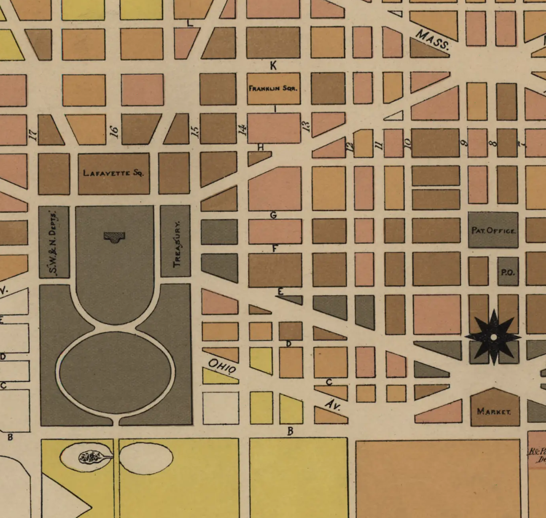
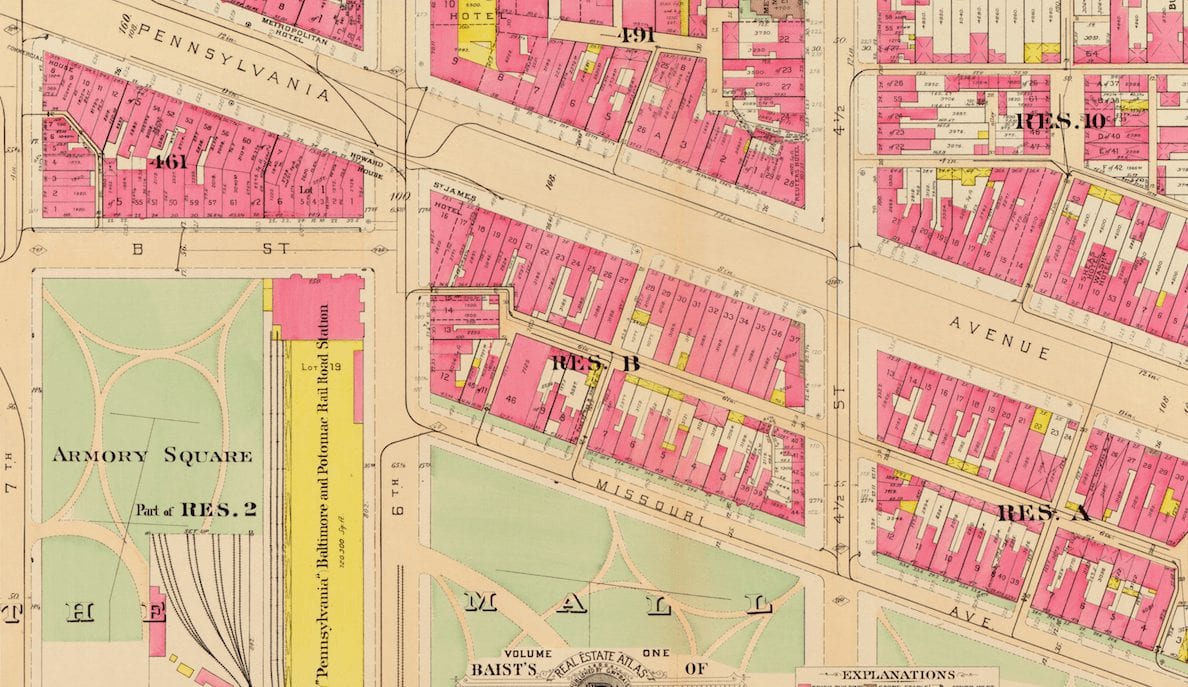
Incredible 1880 Statistical Maps of Washington
This series of maps shows property values, pavement times, public schools, railroads, street sweeping schedules and more. Don’t miss these…
More Featured Stories
-
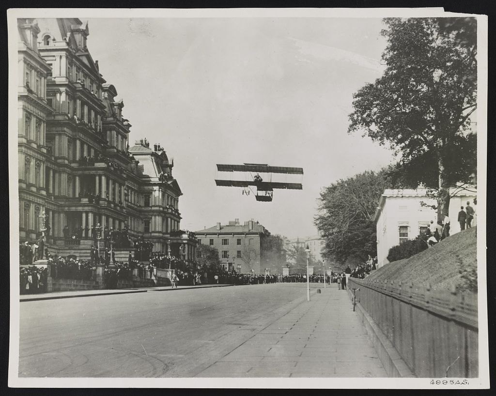
Claude Grahame-White’s Daring Landing at the White House in 1910
-
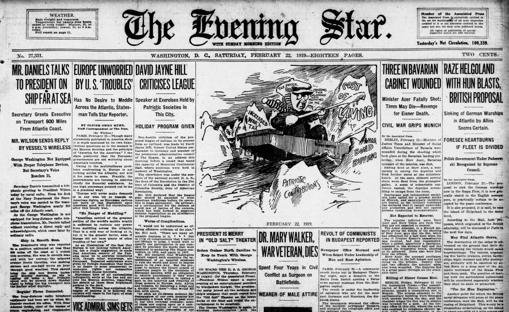
Exploring History Through a 1919 Newspaper: The Evening Star
-

Relaxing on the Tidal Basin: A Look Back at Washington, D.C. in 1942
-
Exploring the Past and Present of Washington, DC with Maps
-
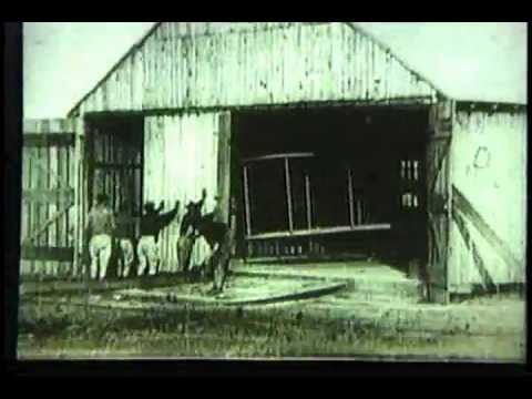
Witnessing History: Orville Wright Sets Flight Duration Record in 1909
-
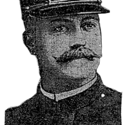
Exploring the Lost History of Warwick’s Saloon at 13th and Penn