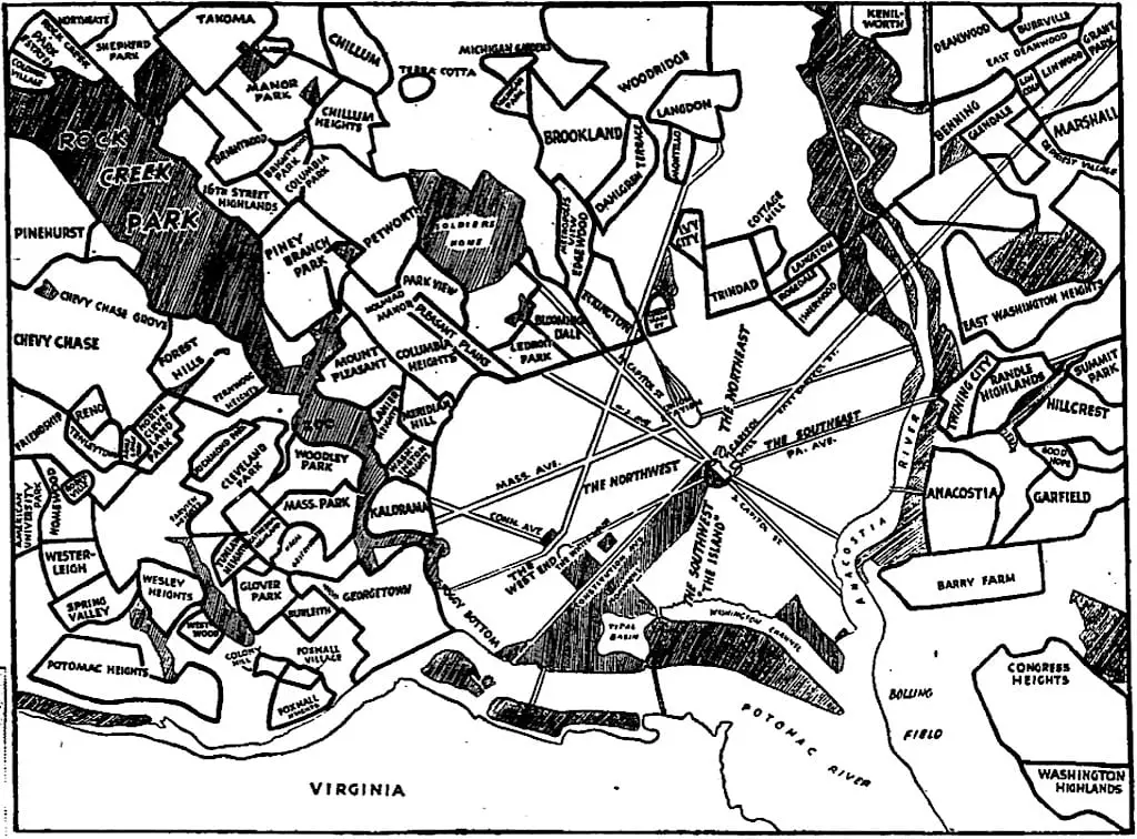
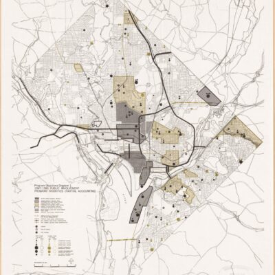
Take a journey through D.C. history with this 1937 map of neighborhood boundaries. Learn more about the city's past and explore the changes that have taken place over the years.
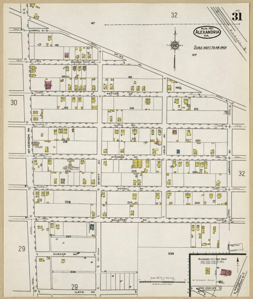
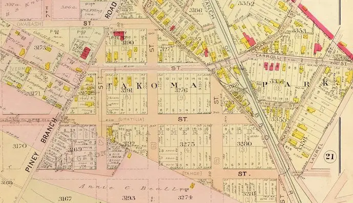
Take a look at this amazing 1907 map of Takoma Park and explore the outlines of proposed roads in and around the area. Courtesy of the Library of Congress.
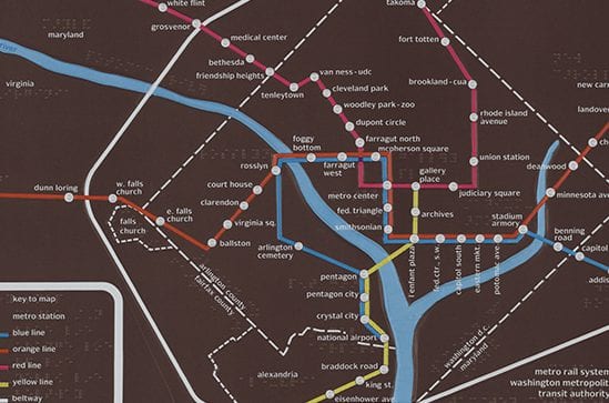
Explore a Metro map done with braille and discover its date. This map stops at Silver Spring, so it's some time before 1990, when Forest Glen was built. Find out more in this blog post.
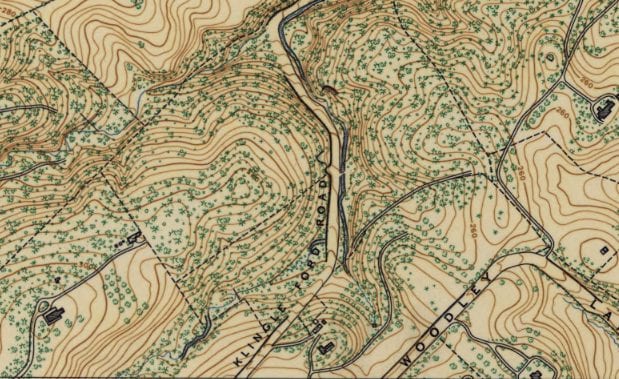
Explore the early days of Cleveland Park, formerly known as Cleveland Heights and Columbia Heights. See two maps of the area from 1892 and learn about President and Mrs. Cleveland's country seat.
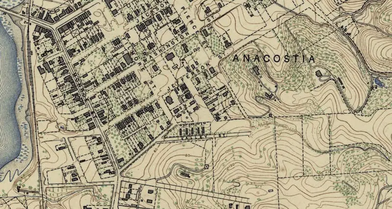
Take a look back in time to 1892 Anacostia with this historic map from the Library of Congress. Learn more about this fascinating piece of history today!
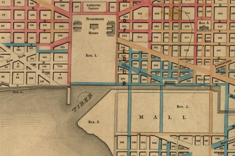
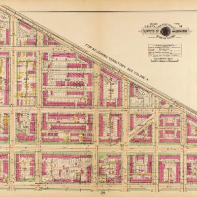
What were the roads of Washington like in 1872? This great map shows the different paving surfaces throughout the city, including wood, stone and concrete.
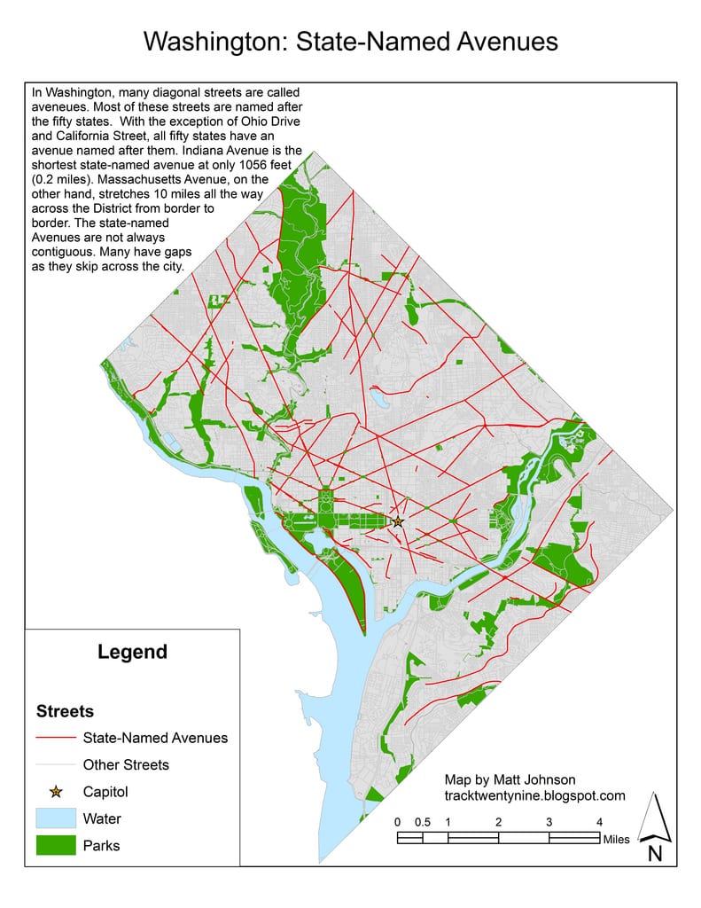
Take a journey through the streets of Washington DC with these maps from Greater Greater Washington and Flickr user Matt Johnson. Learn more about the city's history and explore the different street systems.