
Why Is It Named Centreville?
In 1792, landowners founded Centreville to be the geographic center point between Alexandria, Georgetown, and Leesburg.
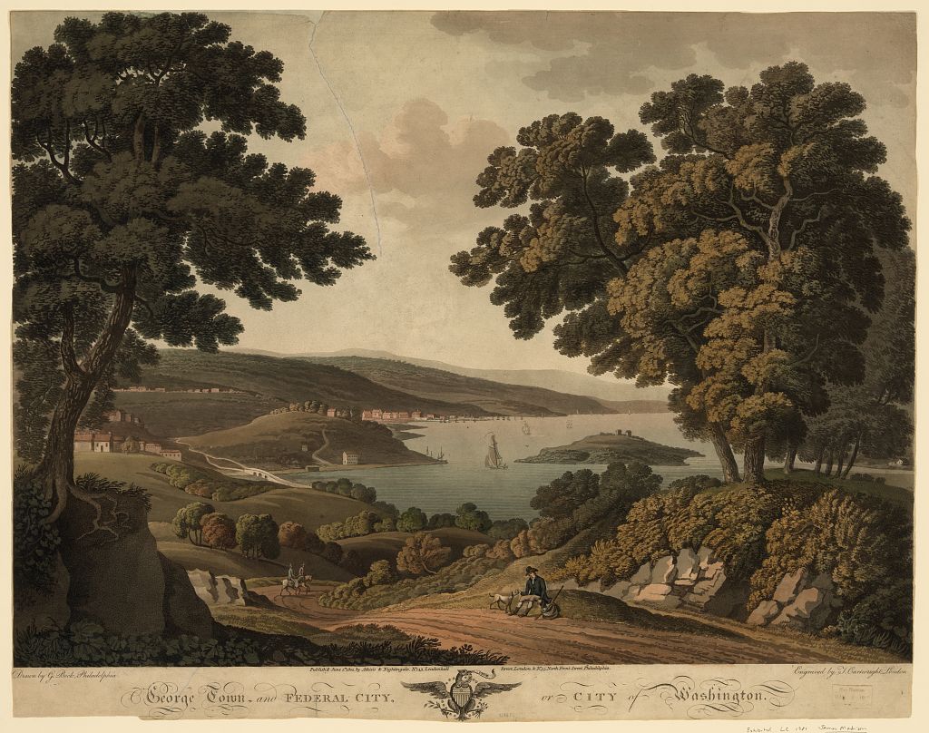
Washington was barely a city in the 1790s. The decade opened with L’Enfant laying out his grand plan for the federal capital and closed with the government finally picking up stakes from Philadelphia and moving in. These posts cover the founding years, from the placement of the boundary stones to the earliest buildings that defined the city.
In 1792, landowners founded Centreville to be the geographic center point between Alexandria, Georgetown, and Leesburg.
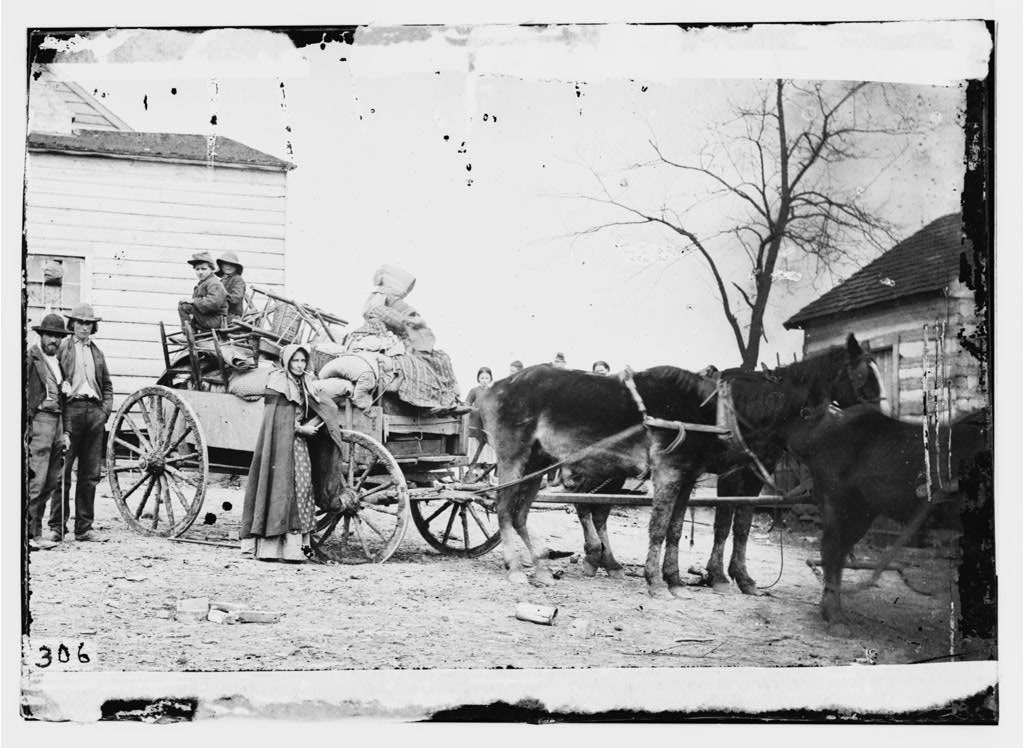
Cows in the streets, a well overflowing near the White House, and woods where the Capitol stands. John Davis saw Washington in 1799 before it was a capital.
This is one of the more fascinating maps we have come across. It shows every single location George Washington visited during his life, all up and down the east coast. From Savannah in the south to Kittery, Maine in the north. The map below was done by the National Geographic Magazine in honor of the first president’s 200th birthday.
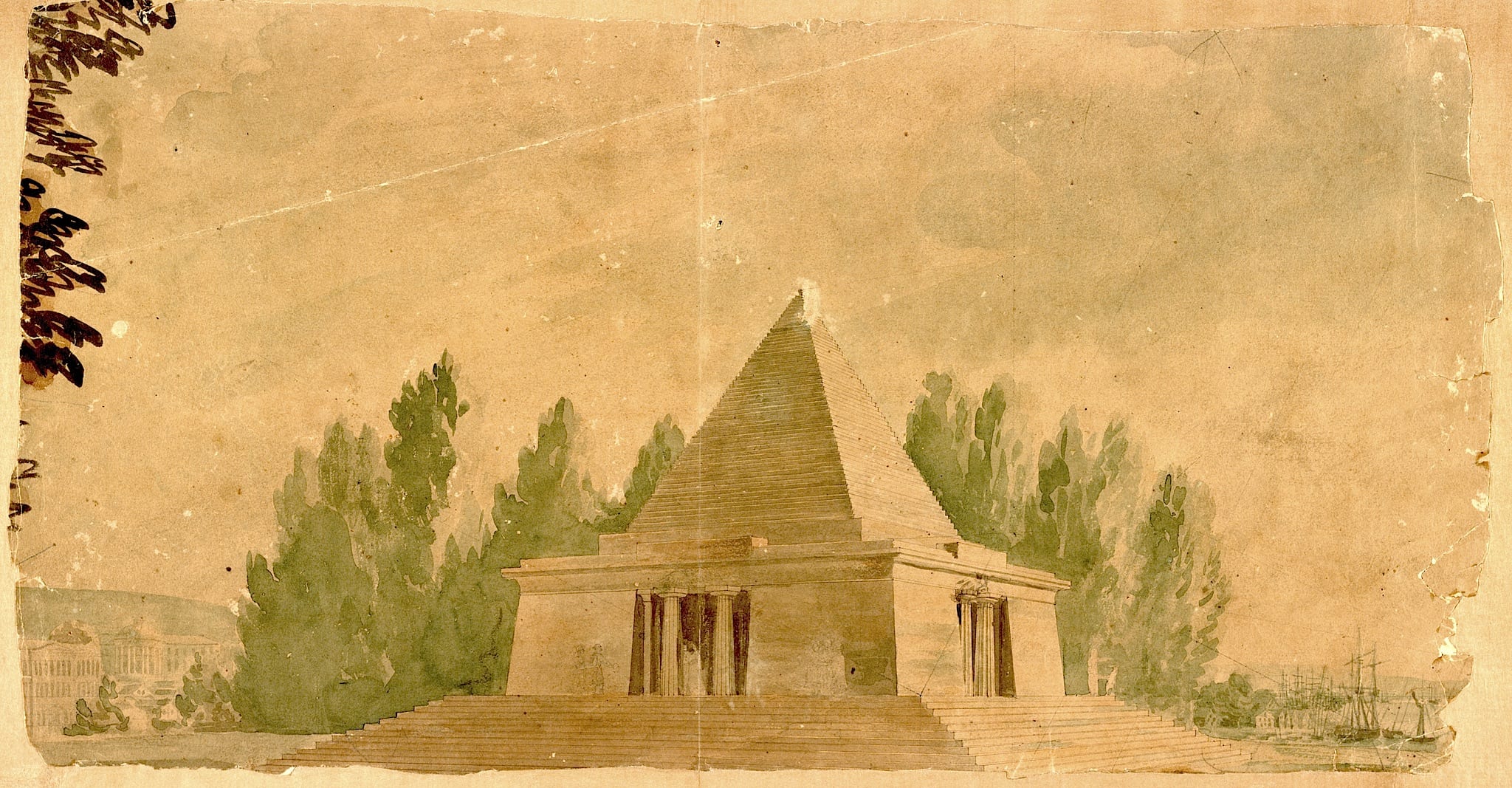
What if the Washington Monument was built as a pyramid instead of an obelisk? It could have been if this design came to fruition.
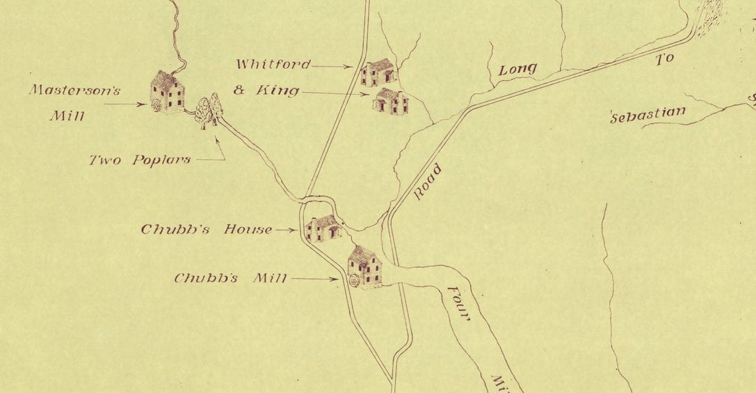
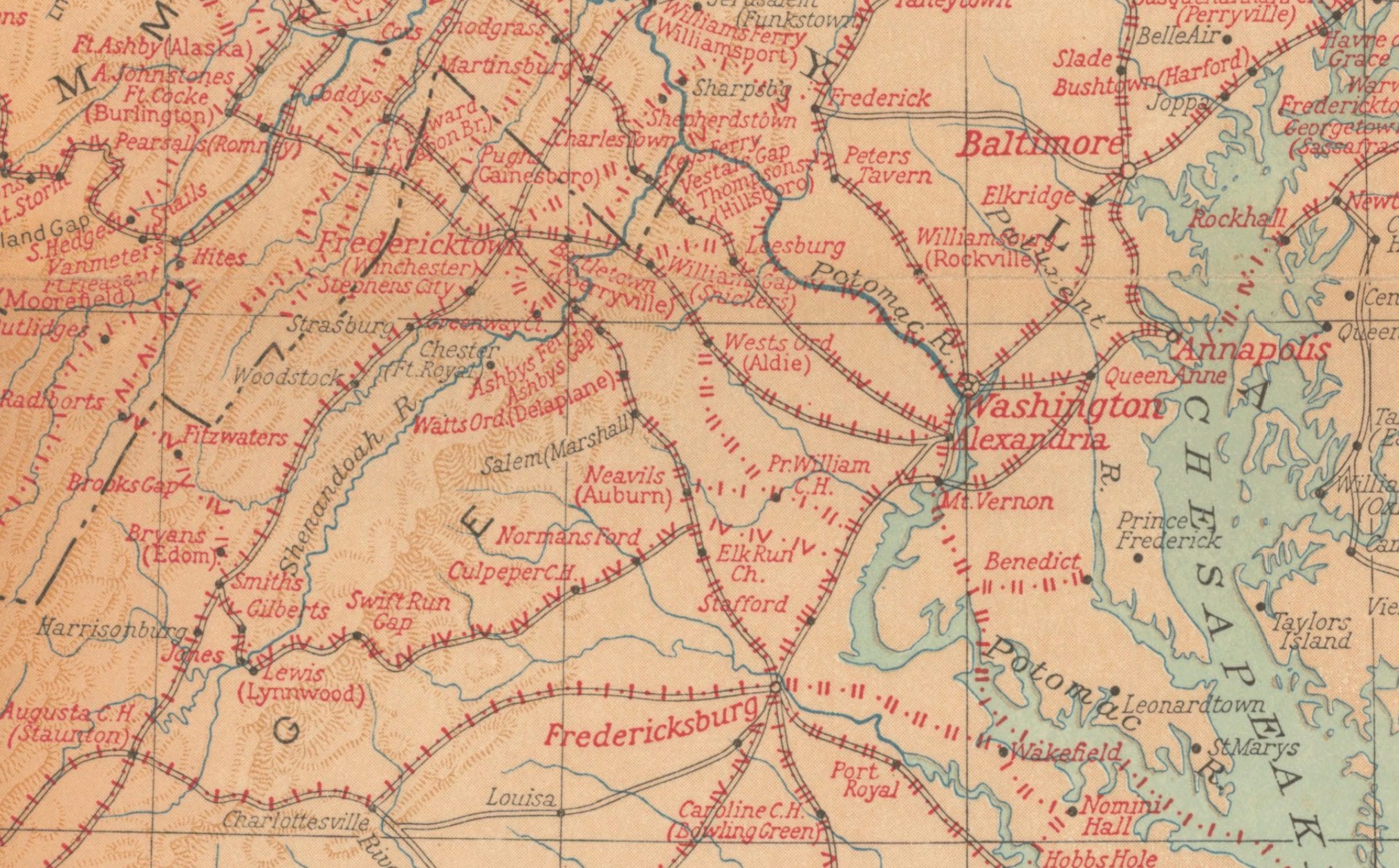
Take a look at this fascinating 18th century map of Arlington County and discover why it was named Arlington. Find out more about the history of the county with this interesting blog post!
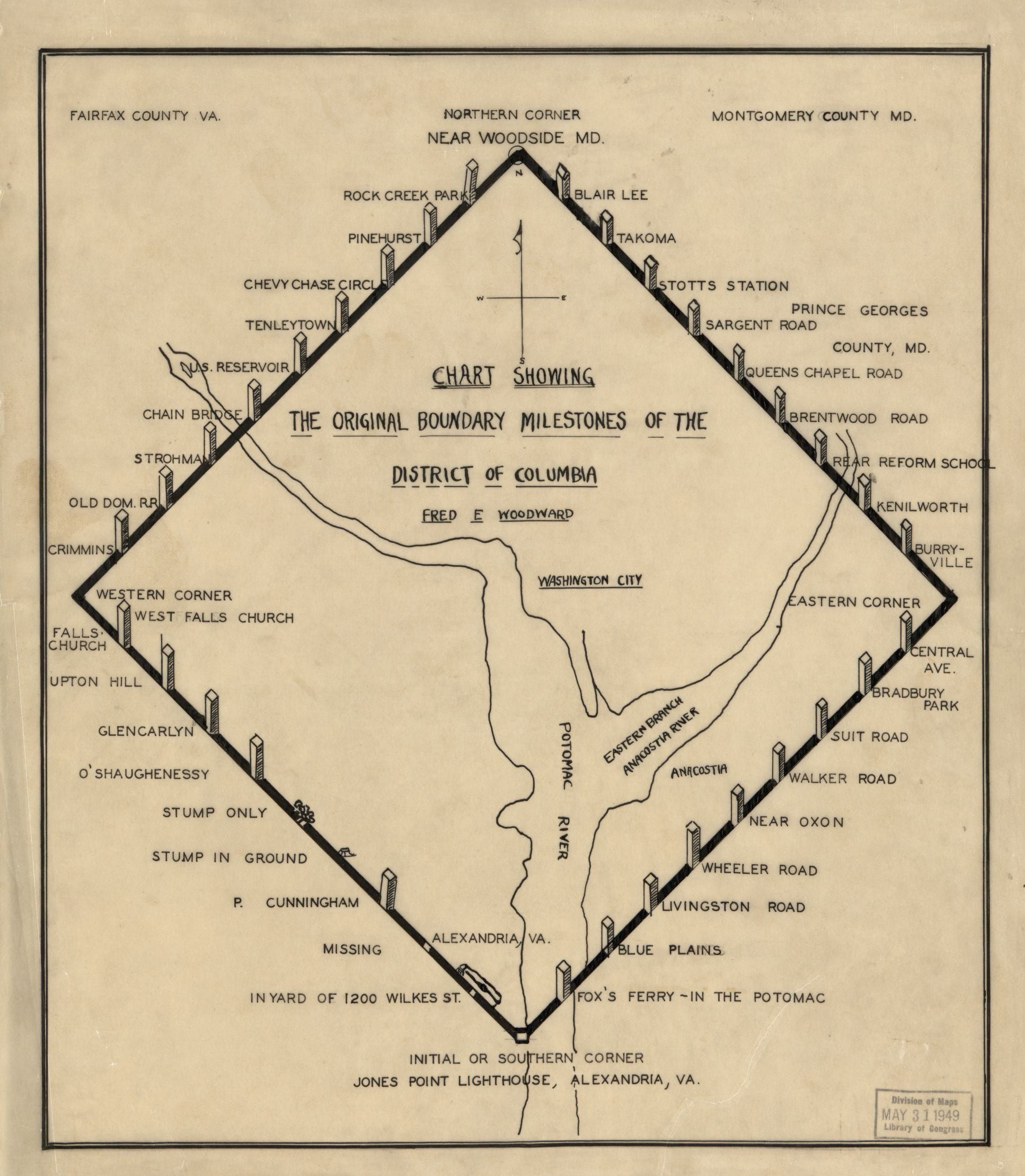
The 40 sandstone markers Ellicott and Banneker planted in 1791 and 1792 still stand at the original corners of Washington, D.C. Here is where to find them.
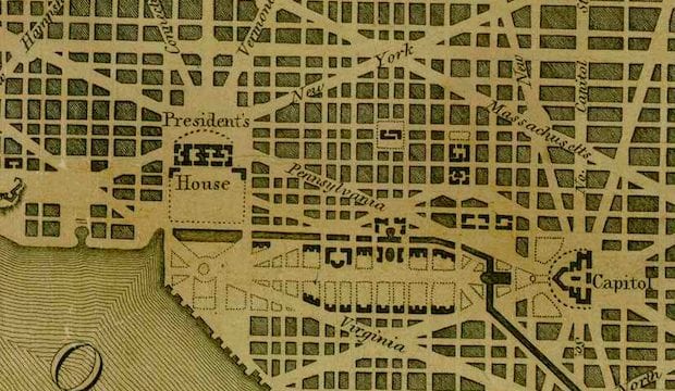
![Plan of the city intended for the permanent seat of the government of t[he] United States : projected agreeable to the direction of the President of the United States, in pursuance of an act of Congress, passed on the sixteenth day of July, MDCCXC, "establishing the permanent seat on the bank of the Potowmac"](https://ghostsofdc.org/wp-content/uploads/sites/7/2014/06/ct001333.jpg)
Discover the plan for the federal city with a terrific old map from the Library of Congress. Explore the projected layout of the city to gain insight into the history of the United States.
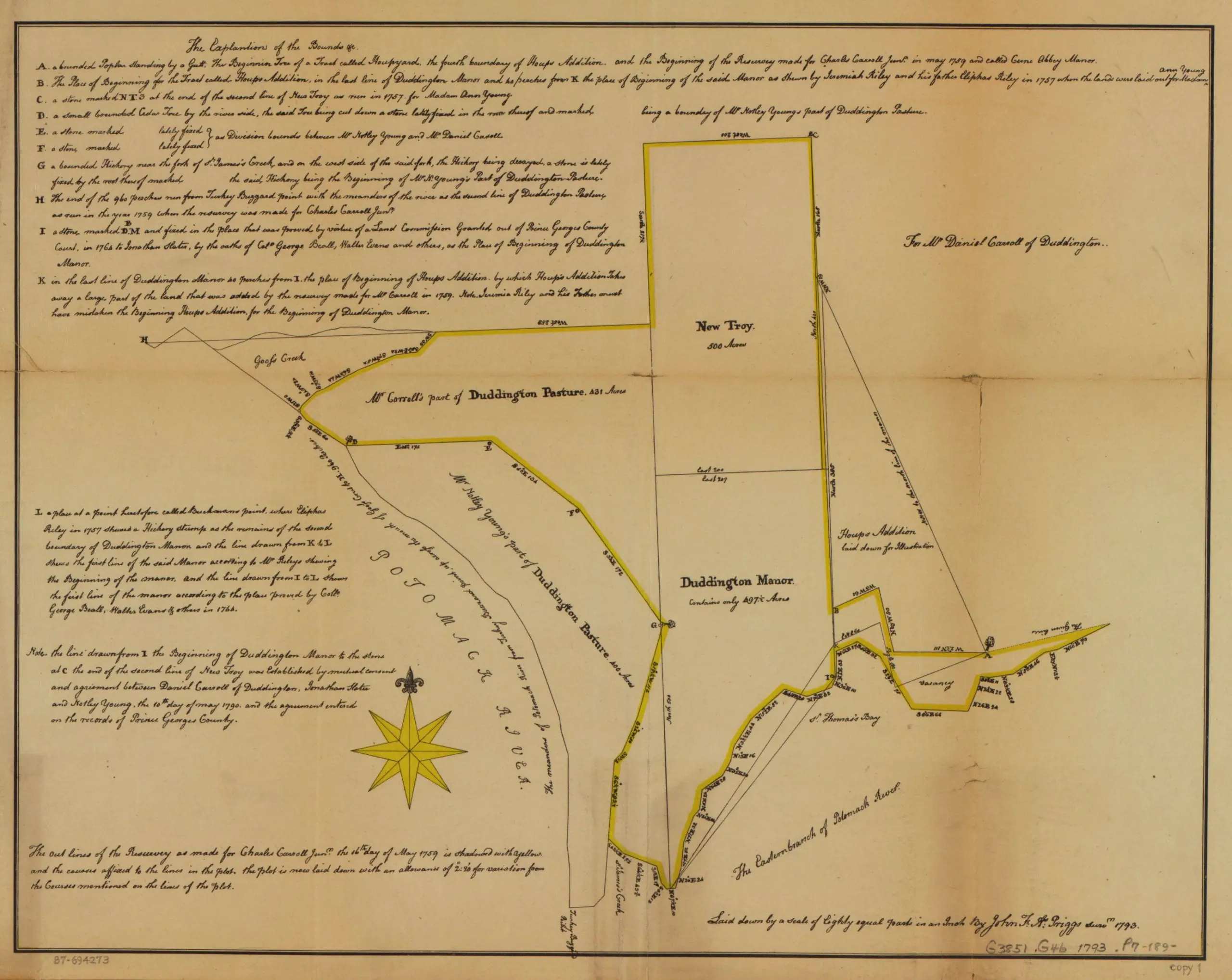
What did the land in and around Washington look like at the end of the 18th century? This map shows the Carroll family land in what would grow into DC.
Explore a rare map from 1795 showing the Territory of Columbia and the City of Washington surrounded by Maryland. Click to view a larger version and learn more about this piece of history.