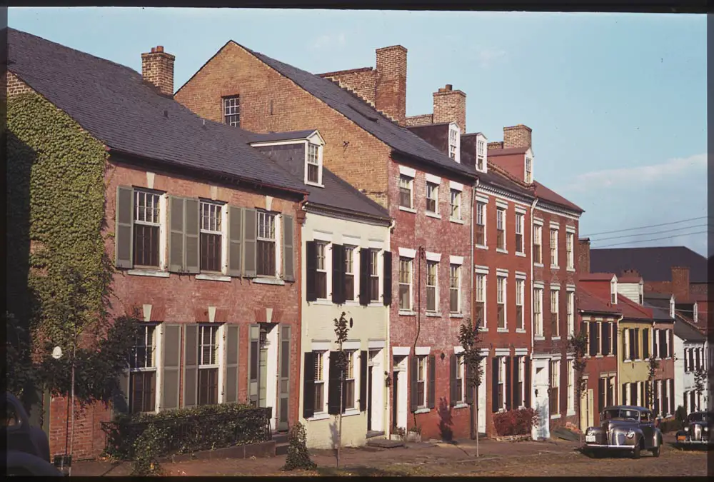
Take a look back in time and explore Alexandria, Virginia through vintage photos taken on September 23rd, 1940. Enjoy a glimpse of the past captured through Charles W. Cushman's Photograph Collection.
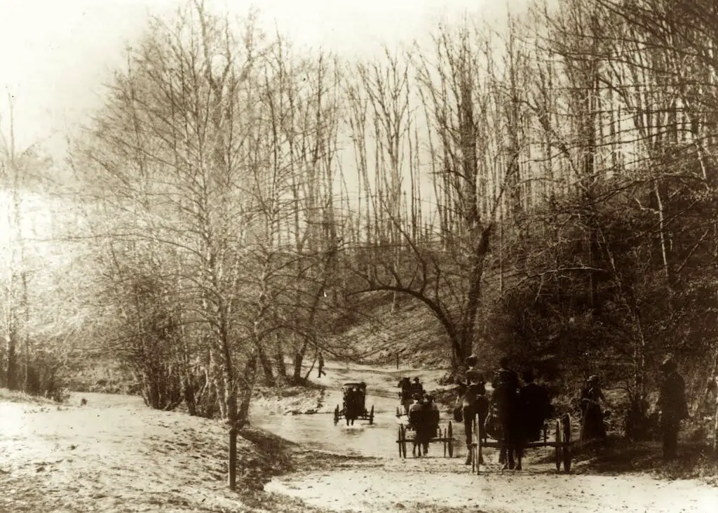
Take a trip back in time with this amazing photo from 1890. It shows a group of people riding their horse and buggies through Rock Creek Park. See if you can recognize the area!
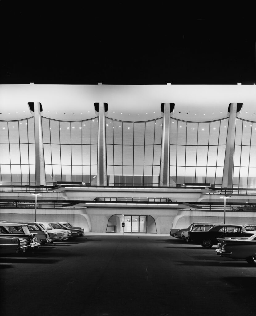
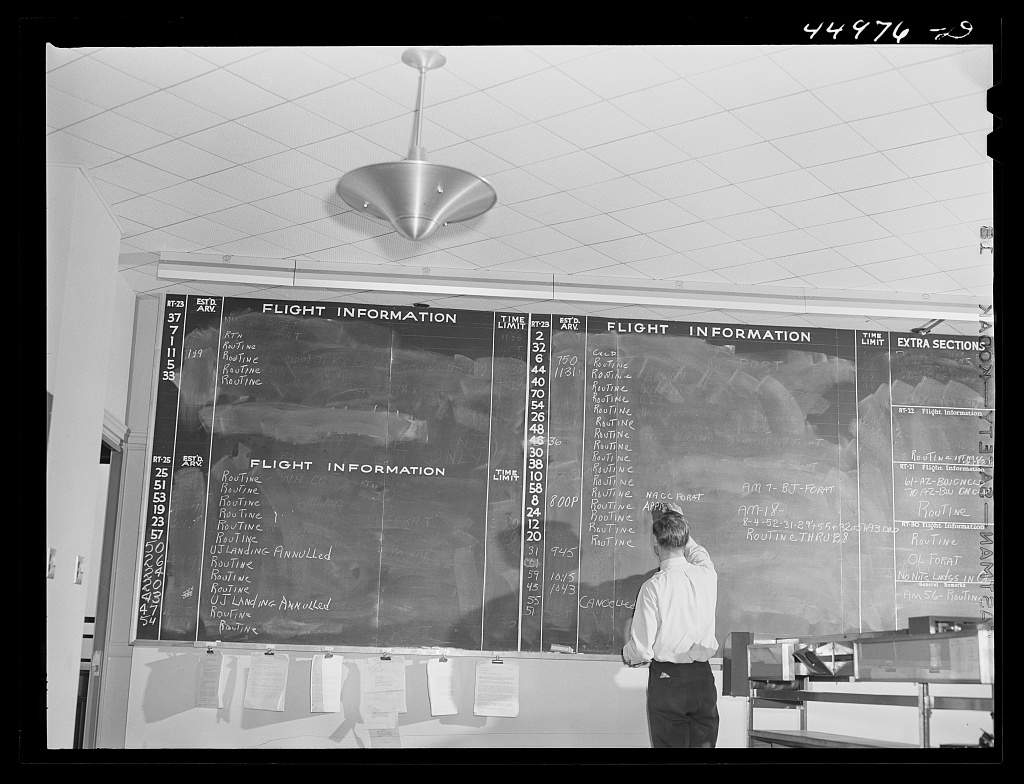
Washington's new airport opened for business in June 1941. This series of detailed photos shows what flying was like 80 years ago, more glamorous, quaint, and dressed up.
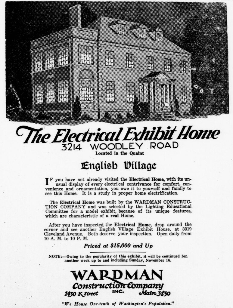
Explore an old 1924 advertisement from the Evening Star for the Wardman Construction Company in Washington D.C. and see what the home is worth today. Plus a look at the house and the Lighting Educational Committee.
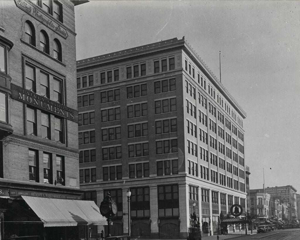
Take a trip back in time with this amazing old image of the Woodward & Lothrop Building in Washington 100 years ago. This beautiful building still stands today. #WashingtonDC #History #OldPhotos
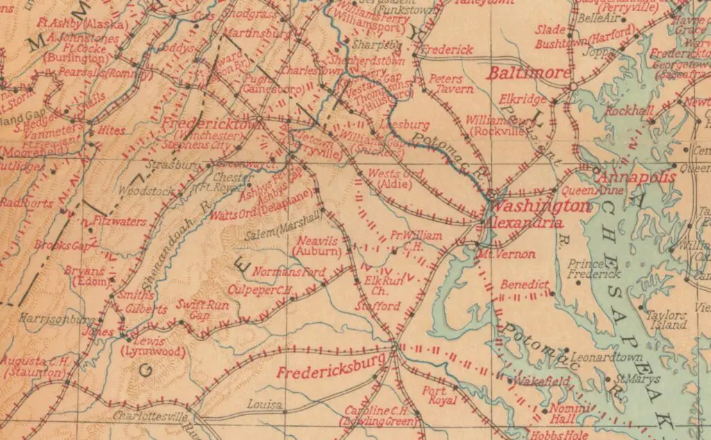
This is one of the more fascinating maps we have come across. It shows every single location George Washington visited during his life, all up and down the east coast. From Savannah in the south to Kittery, Maine in the north. The map below was done by the National Geographic Magazine in honor of the first president's 200th birthday.
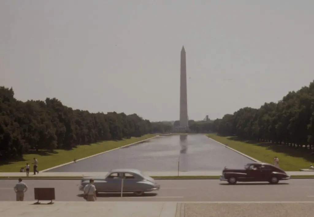
Check out these incredible photos of DC from 1956 sent in by GoDCer Bill. The wild part is that tours passed by the front of the White House back in those days. See the photos of the Washington Monument, Jefferson Memorial, and Federal Triangle!
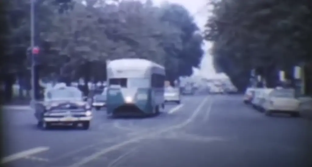
Take a trip back in time with this fascinating footage from the 1950s of Washington D.C.! See recognizable spots like the Dupont Underground, East Capitol St., and Union Station. A must-watch for any history buff!
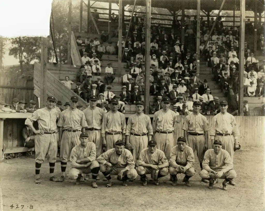
Take a look back at the Washington Senators team during spring training of 1920. They came in sixth place that year, but a few years later they would become world champs!
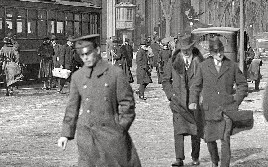
Take a look back in time to 1919 Washington, D.C. with this photo of 15th and Pennsylvania. See the old Riggs Bank building in the background, now the PNC Bank building.
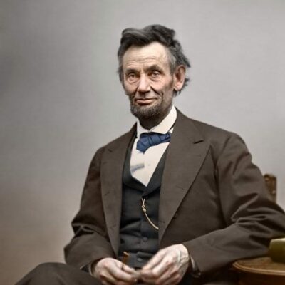
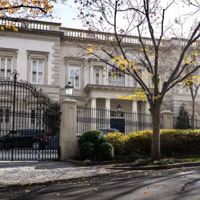
Where did former President Taft live while he was the Chief Justice? This old row house in Dupont Circle was where he lives during his Supreme Court tenure.
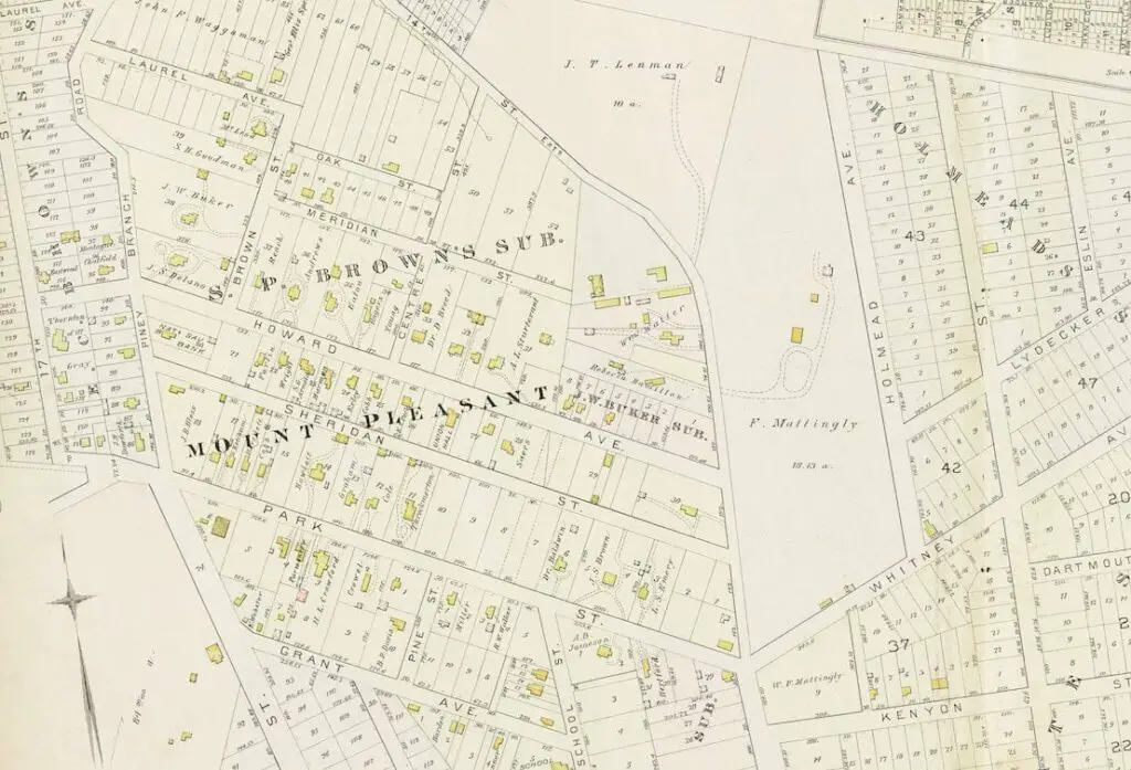
Explore an incredible old map from 1887 of Mt. Pleasant and Columbia Heights. See old street names and the Columbia College Subdivision. Click through to see greater details.
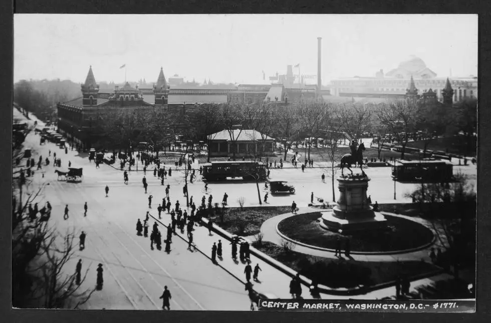
Take a look at this incredible scene from Center Market in Washington, DC in 1913! See pedestrians, streetcars, horse and carriages, bicycles, and automobile traffic all in one photograph. An amazing glimpse into DC's past!