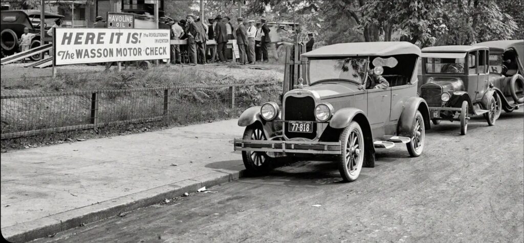
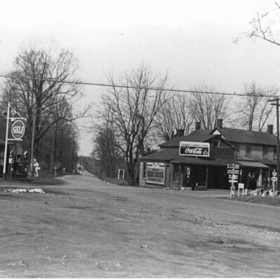
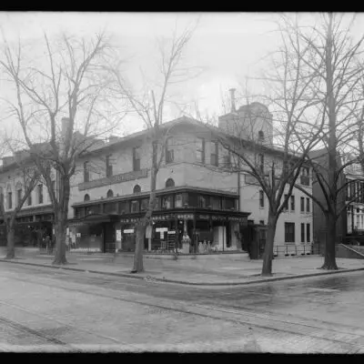
Explore the 'Wasson Motor Check' offered by Havoline Oil Company in 1924 Washington, D.C. Discover the history in a photo at Texaco Station on Florida Ave and 14th St.
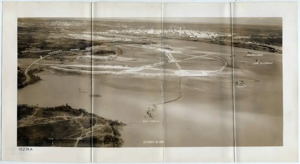
Explore the fascinating old image of the aerial view of National Airport in Arlington, Virginia before Pearl Harbor in 1941. Read more to discover this historic sight!
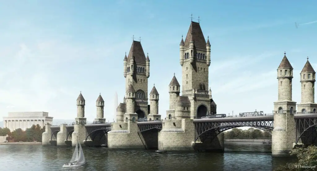
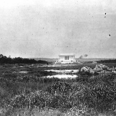
This most incredible image shows what the Ulysses Grant Memorial Bridge would have liked like today. It would have been where the current Arlington Memorial Bridge is today.
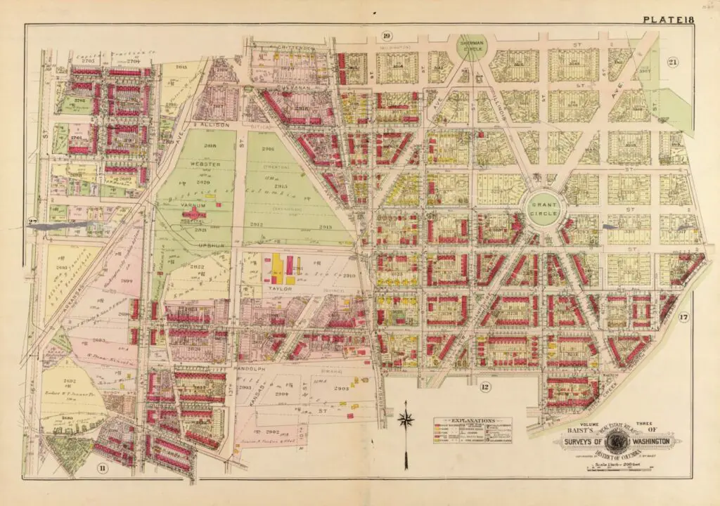
Take a look back in time! We'll explore the development of Petworth and its surrounding areas over the decades through a series of maps. See how this DC neighborhood changed from 1903 to 1919.
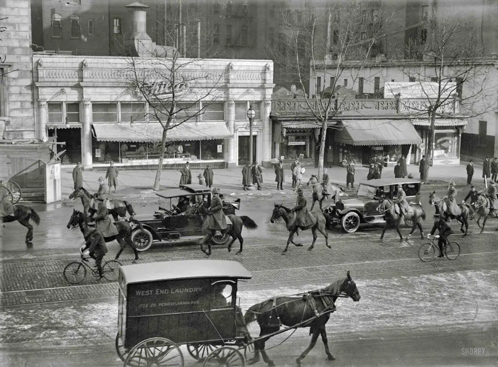
This analysis of a 1900 Washington Post article on the advent of automobiles shows a disregard for the new technology, with horse dealers even calling it a fad. A photo of 14th and Pennsylvania in 1918 shows both horses and automobiles.
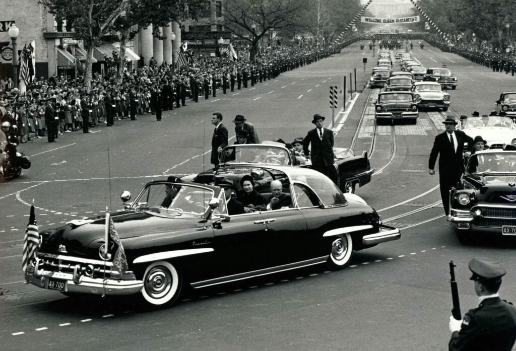
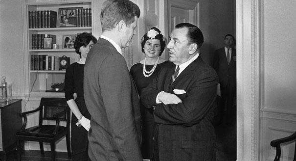
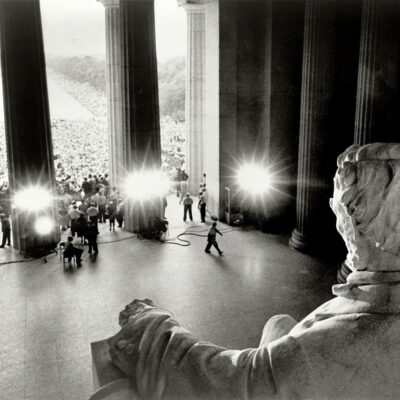
Relive a special moment in history with this wonderful old photo of President Eisenhower and Queen Elizabeth in a Lincoln Cosmopolitan in 1957. See the three photos taken that day here.
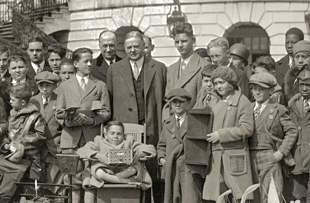
Take a look back in time with this cool old photo showing President Herbert Hoover with a large group of boys and girls at the White House. Source: Shorpy.
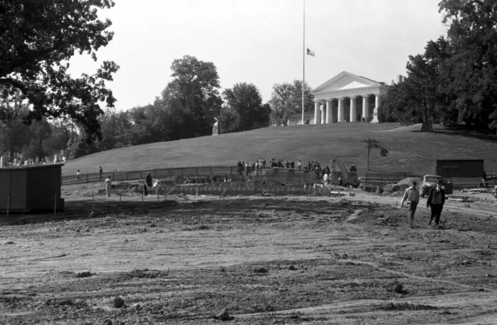
Take a look back at the construction of JFK's Eternal Flame Memorial at Arlington National Cemetery in 1965. This fascinating old photo shows the site before the iconic memorial was completed.
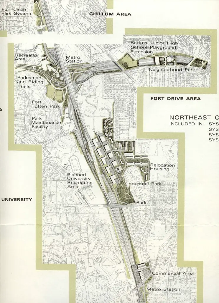
Take a look back at 1971 maps of what could have been I-95 cutting through D.C. Today, what is now 395, ends at New York Ave. NW. Get a glimpse into what could have been with these fascinating maps from 1971.
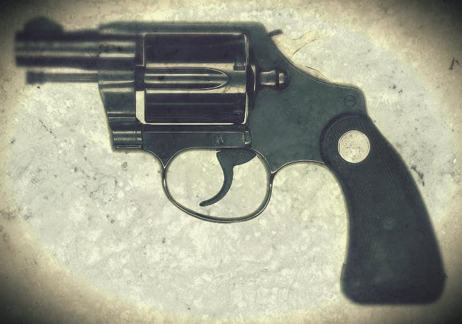
Digging through old newspaper archives and the U.S. Census, uncover the tragic tale of Rudolph and Mary Scheitlin that was printed in The Baltimore Sun in 1905. Learn the story of their rocky marriage, her dalliances and the fateful night that ended in murder.
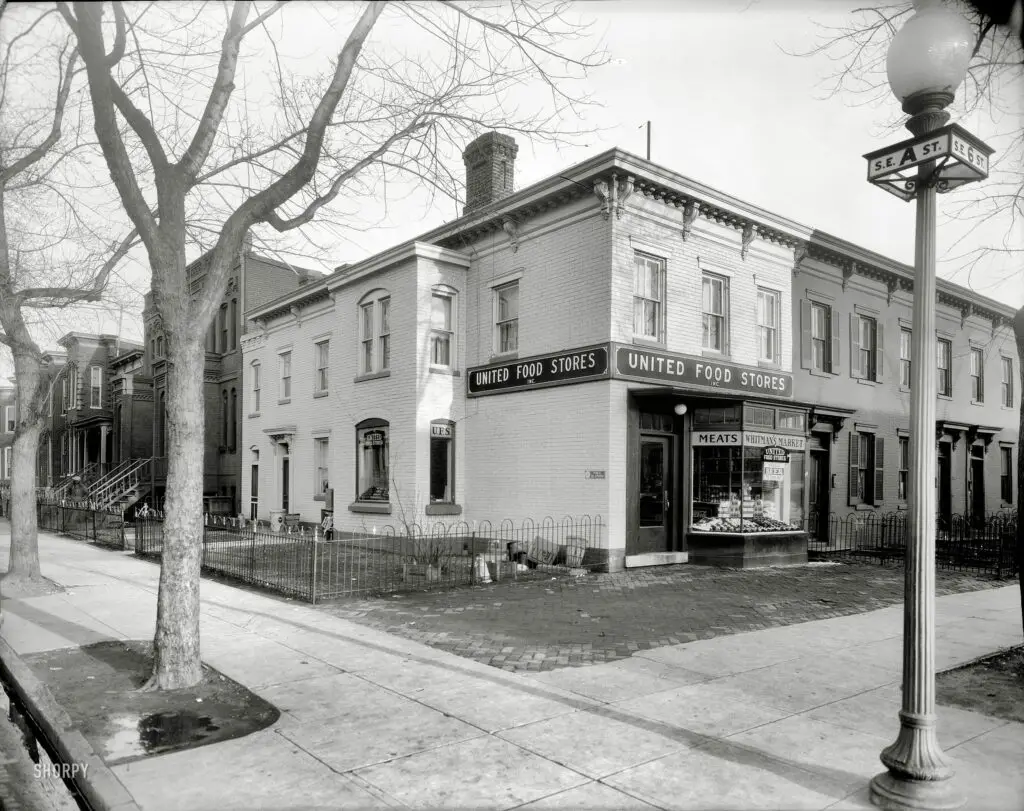
Take a look at the incredible transformation of the United Food Stores Market in Washington, DC from 1932 to now! Compare the vintage photo to Google Street View and marvel at how far we've come!
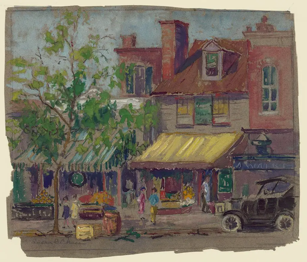
Take a look at this stunning drawing from the 1920s done by Susan Brown Chase. It shows storefronts on Pennsylvania Avenue in Washington D.C. between 22nd and 23rd streets. View the source to learn more!
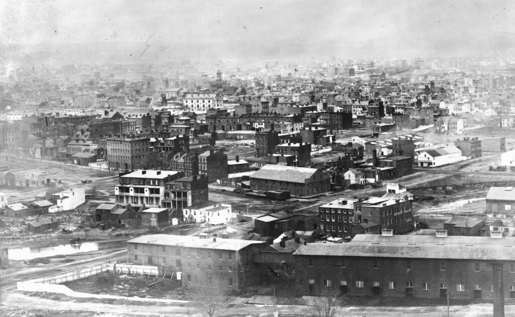
Get a rare glimpse of Washington, D.C. from Capitol Hill with this historical photograph. The image features the Washington Jail, Aldrich's Wholesale Flour, Grain & Feed Warehouse, and more.
In 1949, Mayor Thomas D'Alesandro opposed building an airport in Virginia to relieve Washington's air traffic. Check out this article from The Washington Post to learn more about the story. #GhostsOfDC #1940s #Airport #DCA #BWI #Dulles