
Hains Point: How Did It Get Its Name?
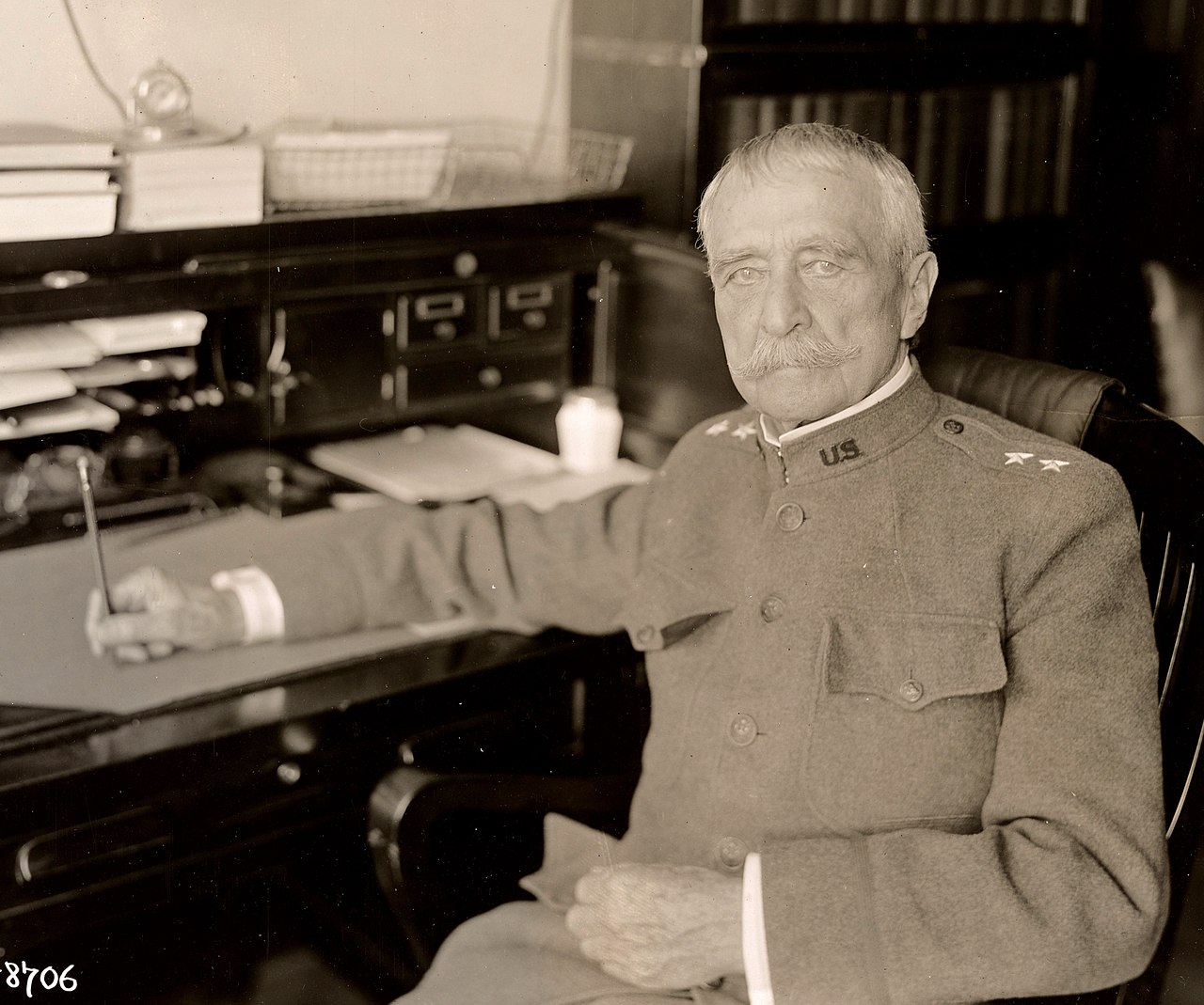
Hains point is named for Peter Conover Hains, a prominent Major General in the U.S. Army and served in the Civil War, Spanish-American War and World War I.
Hains point is named for Peter Conover Hains, a prominent Major General in the U.S. Army and served in the Civil War, Spanish-American War and World War I.
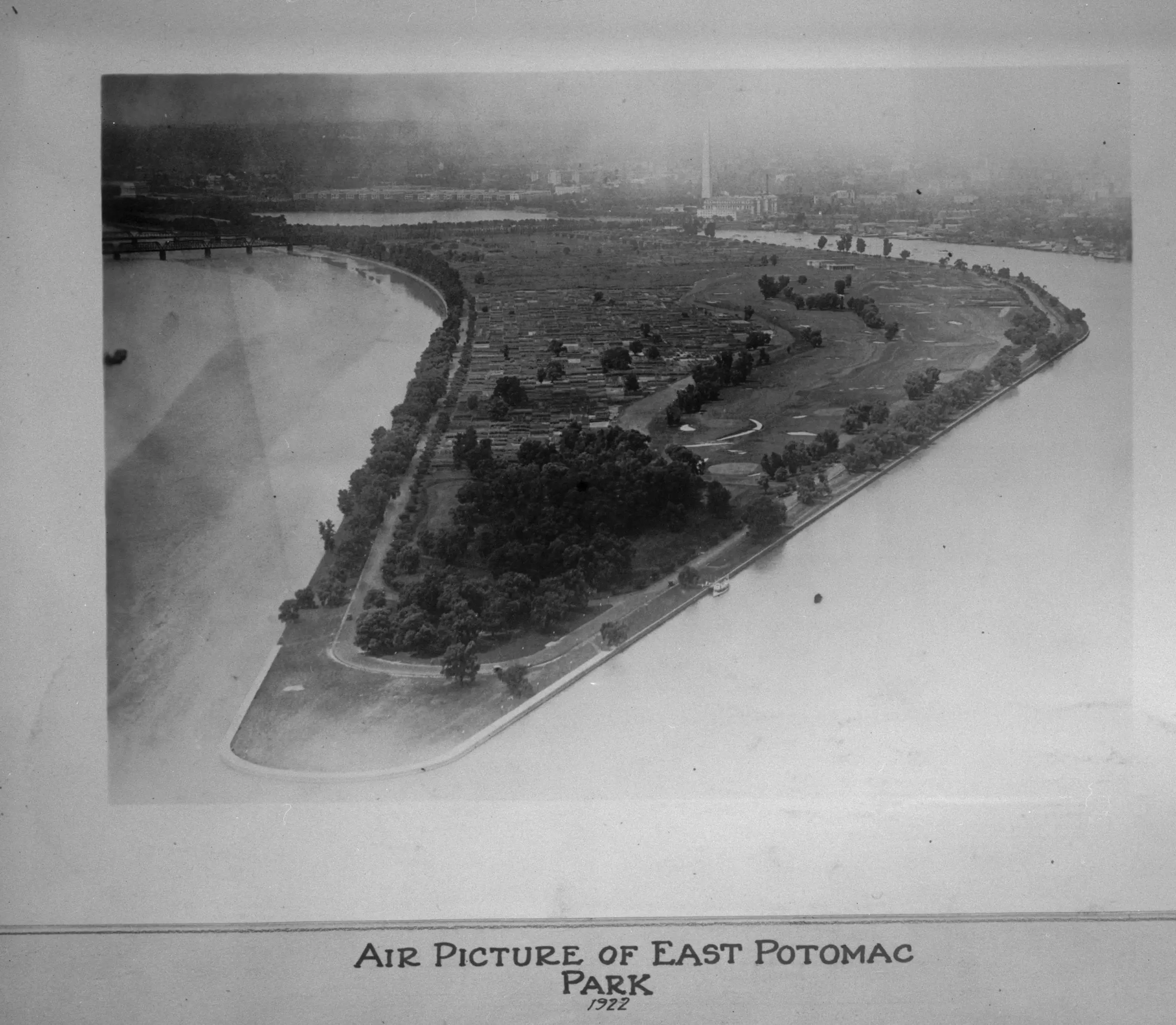
Take a look at this aerial view of East Potomac Park and Hains Point. Do you know why it’s called Hains Point? Find out more here!
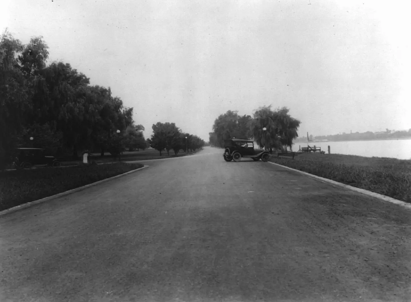
Explore the changes in Hains Point from 1914 to today through Library of Congress and Google Street View images. See how much the area has changed and discover what remains the same in this look back and look ahead.
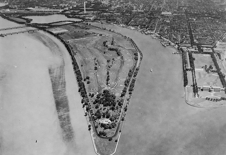
Take a virtual trip back in time with this Throwback Thursday photo of East Potomac Park and Hains Point from the 1930s. Learn the history behind Hains Point and the other landmarks in the photo!