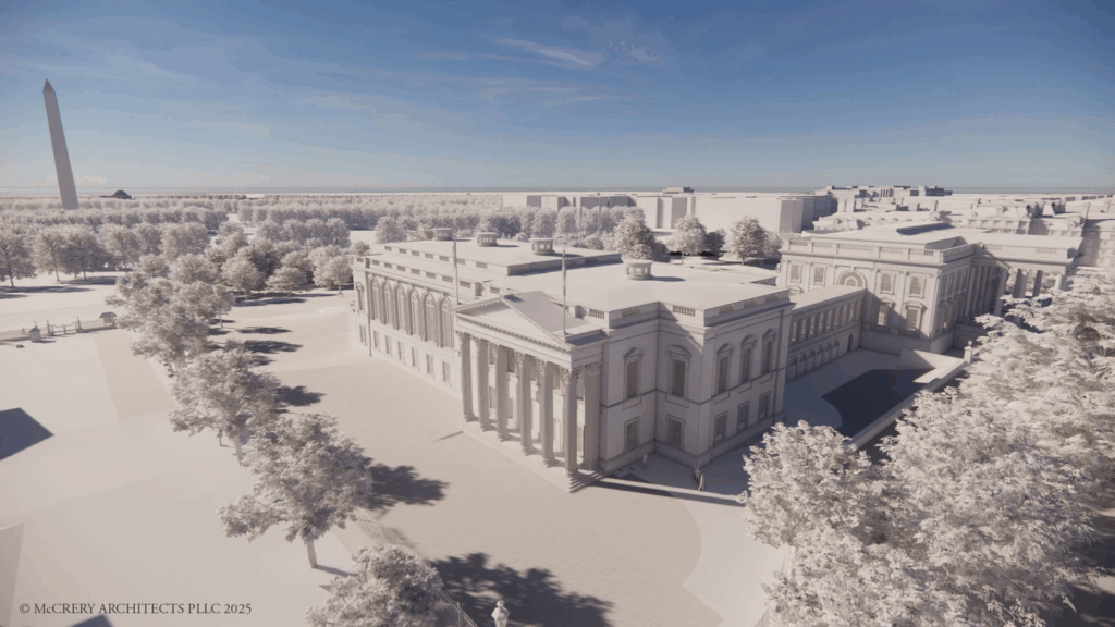
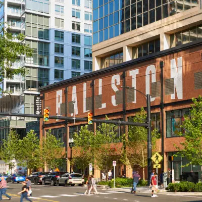
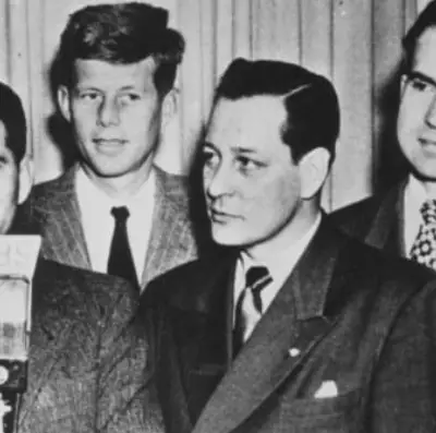
Discover how the White House East Wing transformed from Theodore Roosevelt's democratic cloakroom in 1902 to Trump's $250 million ballroom. Explore 123 years of presidential renovations, including Wilson's garden tent, FDR's secret bunker, and the site's fascinating evolution through detailed historical documents and photographs.
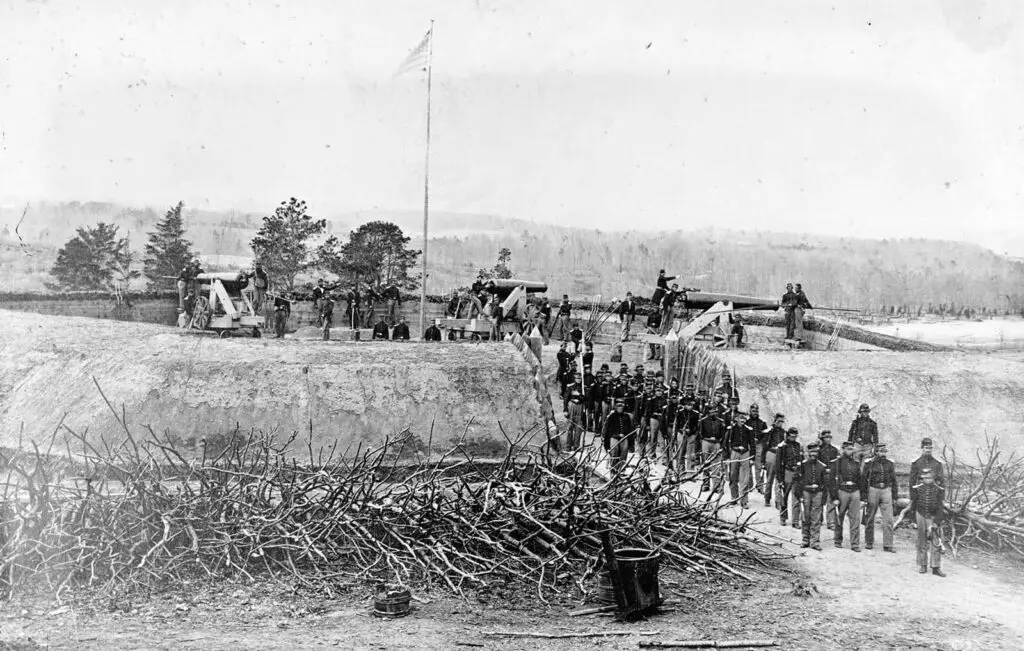
The Civil War reached the outer edges of Washington in 1864. It was so close that President Lincoln rode near the front lines of Fort Stevens and came under fire.
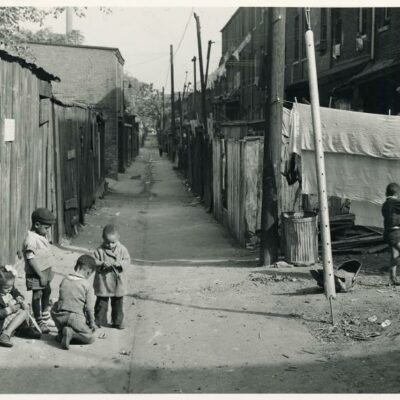
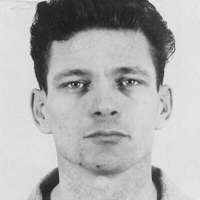
This is an unexpected and disappointing article from 1977 about a small group of sixth-graders and a third-grader smuggling marijuana and liquor to and from an elementary school in Montgomery County. Interestingly, this occurred just a few days before President Jimmy Carter implemented the first civil rights law for people with disabilities.
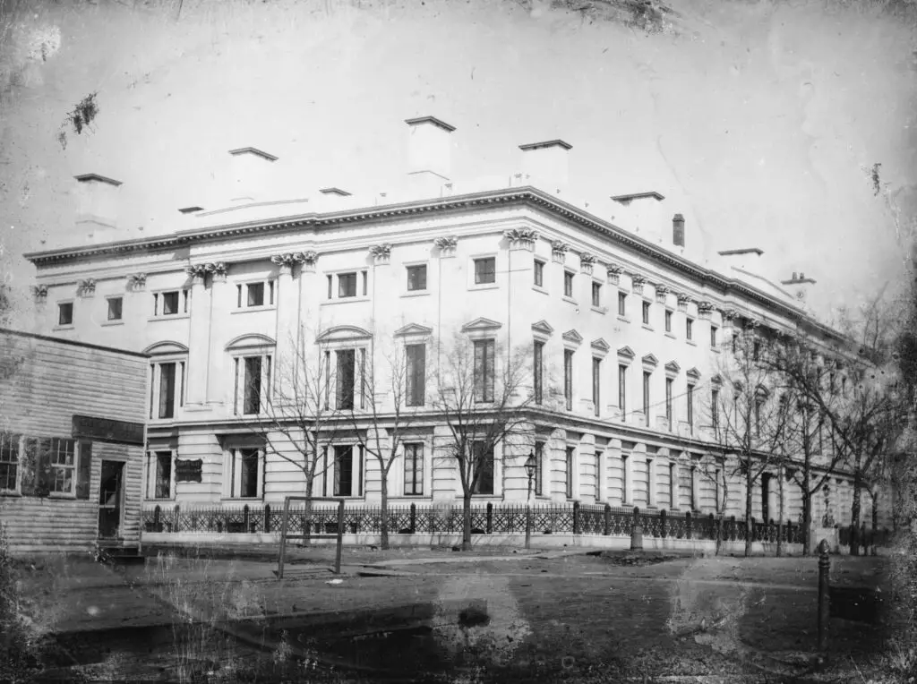
This amazing old photo of the General Post Office in Washington, DC, still stands today. Check out the beautiful image from 1846. The building is now the Washington Monaco Hotel.
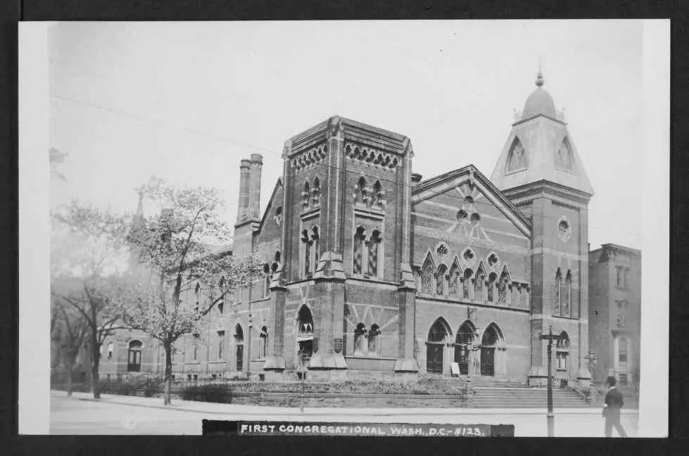
Explore the past with us as we take a look at the First Congregational Church in Washington DC in 1909. Uncover the history with this wonderful old photo found at Dig DC.
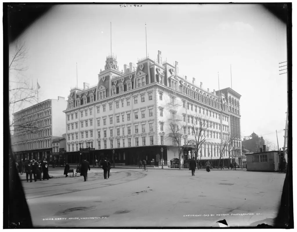
Take a look at this incredible photograph of 14th and F Street in 1903, featuring the old Ebbitt House. Read three stories about the place, and check out the map for reference points. The legacy lives on in today's incarnation of Old Ebbitt Grill.
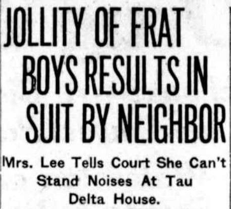
We came across an amusing headline from 1921 about a noise complaint against the Delta Tau Delta Fraternity in Georgetown. Times never change do they? Read on to find out more about this 'suggestive songs' noise complaint!
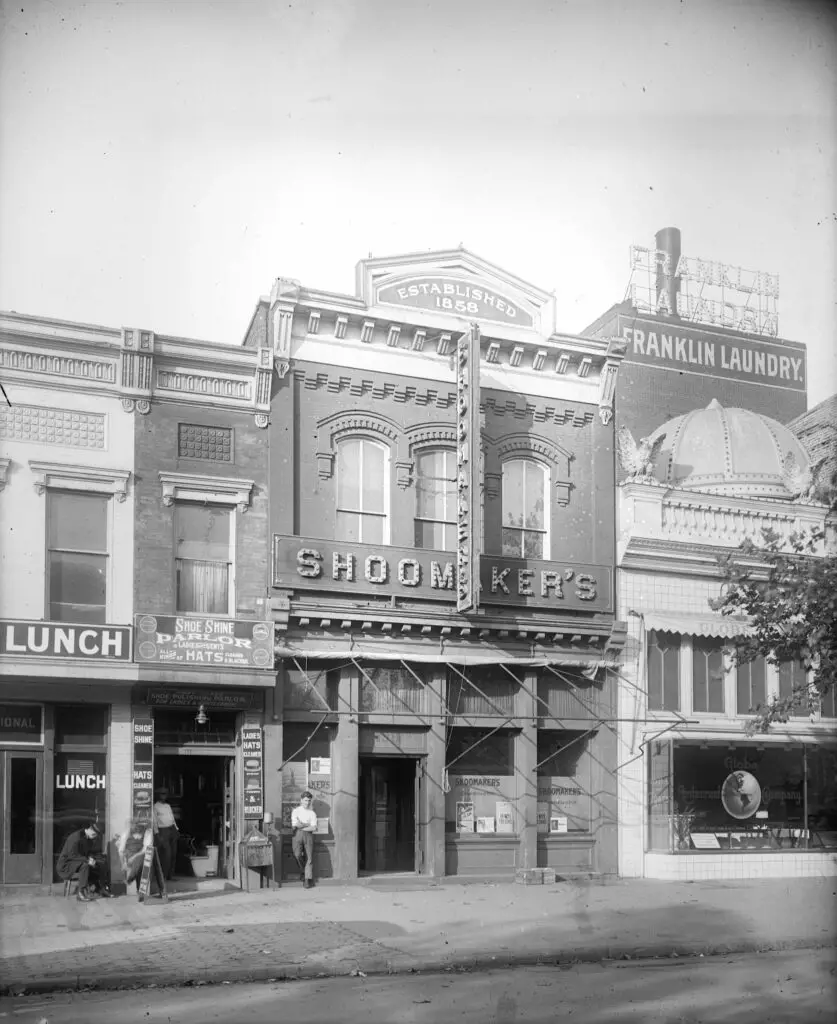
Explore a 1917 photo of the 1300 block of E Street NW in Washington, DC. Learn about the stores, people, and signs in the photo and hear a recording of Claudia Muzio.
Check out this really cool film sent to us by GoDCer Michael. We're sorry it took so long to post, but it's now available to watch - click the link to start streaming today!
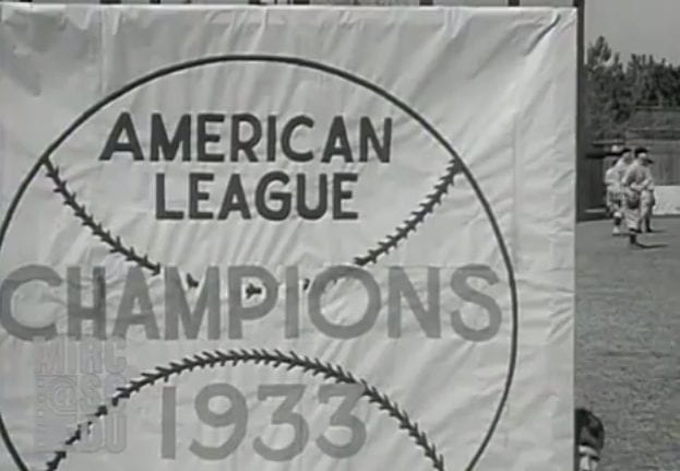
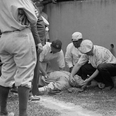
Check out this rare footage of the Washington Senators during spring training in 1931 and 1934. We found these at the Moving Image Research Collection at the University of South Carolina. Watch now!
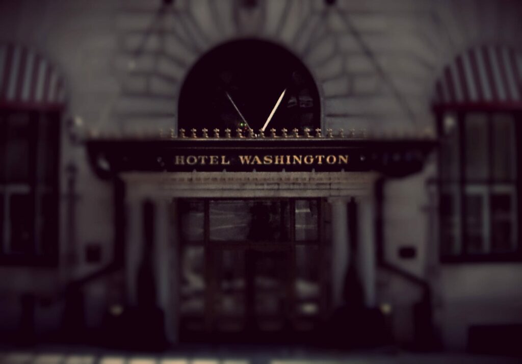
If you've lived in D.C. for a while, you'll remember the good old days when the W Hotel was actually Hotel Washington, the historic and storied hotel near the White House. I remember having quite a few pleasant lunches on the roof, with a spectacular view of the Washington Monument and the President's house.