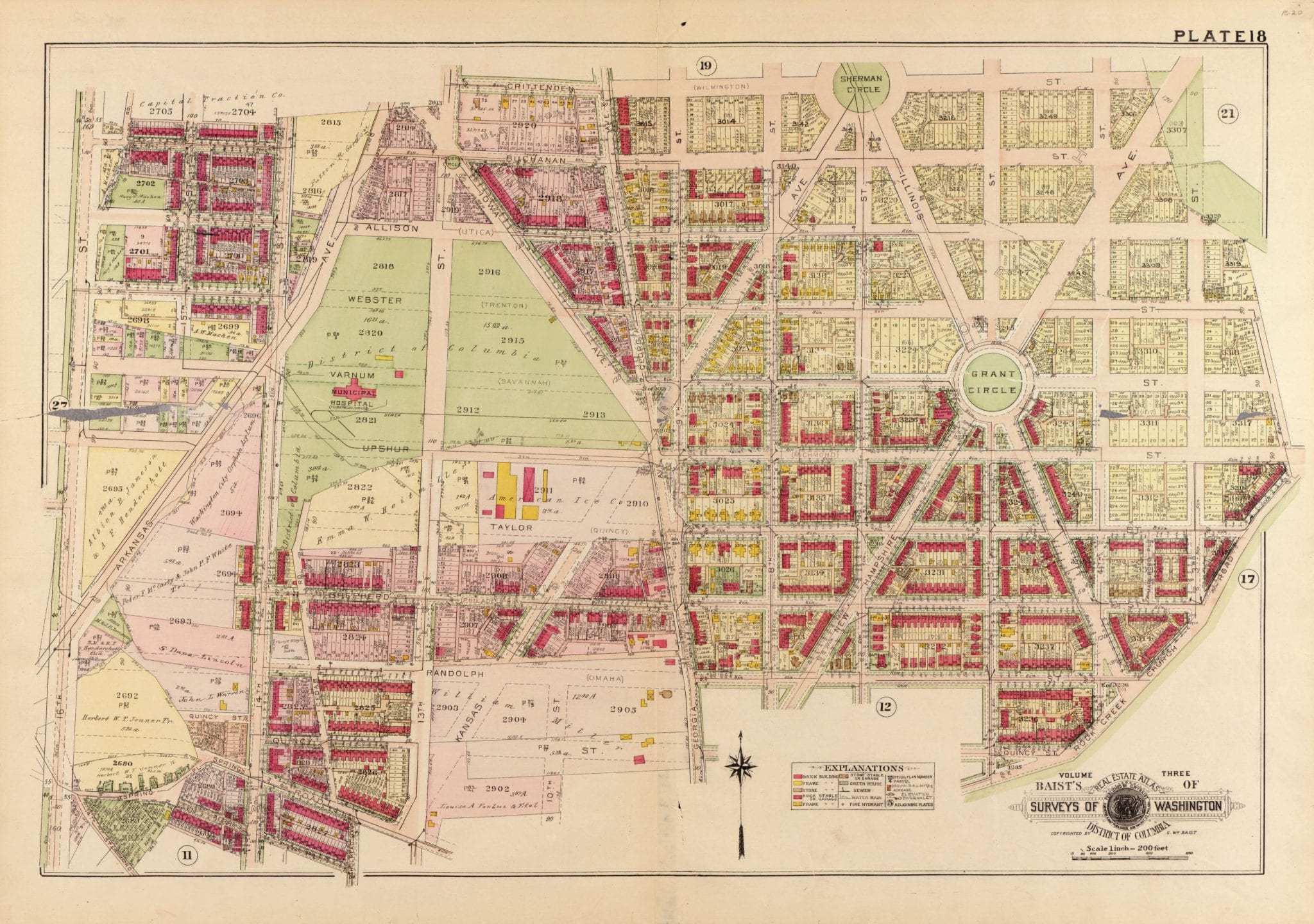
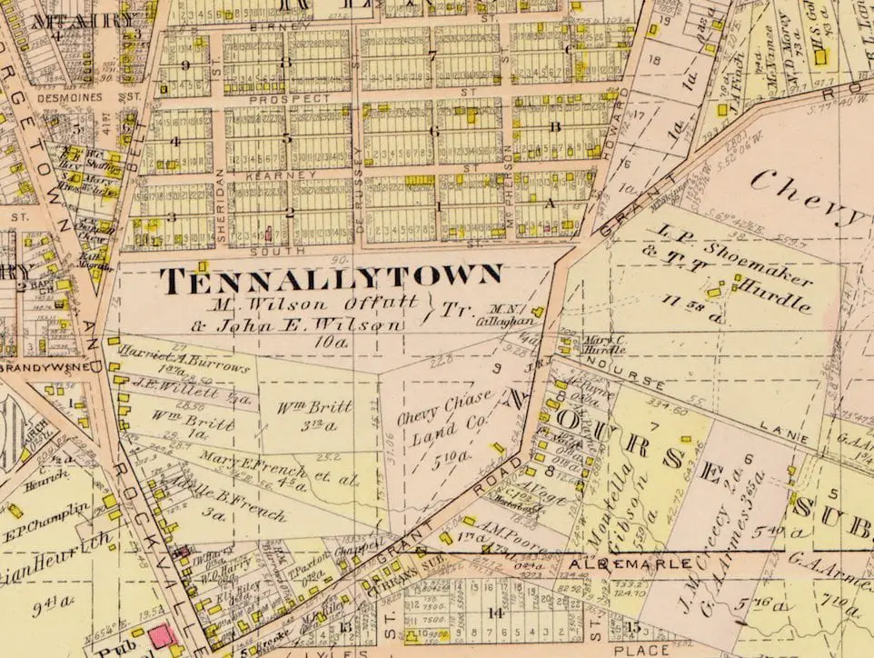
-ad 189-

Posted In GoDCers Love Maps

ct004654
Where Can You Have an Embassy in Washington, D.C.?
You can't build an embassy anywhere in D.C. Check out this map from 1987 showing where it's okay to have your diplomatic mission in Washington, D.C.
1919 map of Petworth
Exploring the Evolution of Petworth Through Maps
Take a look back in time! We'll explore the development of Petworth and its surrounding areas over the decades through a series of maps. See how this DC neighborhood changed from 1903 to 1919.
1898 Washington, DC
A Look at Washington, DC in 1898 Through a Historic Rand McNally Map
Take a look back in time to 1898 with this historic Rand McNally map of Washington, DC. Get a glimpse of the city as it was over 100 years ago.
Cleveland Heights - 1889
1889 Cleveland Park Real Estate Ad
At the time, Grover Cleveland lived north of the city in a lovely old estate called Oak Hill. Eventually, the neighborhood that grew up around his home was named for him: "Cleveland Park".
1903 map of area around today's World Bank
Gave the Room a Sneak Peek: 1903 Map of the Area Around Today's World Bank
Thanks for the great opportunity to speak at the World Bank today. Check out the 1903 map of the area around today's World Bank that I gave the room a sneak peek of and am posting for all others now!
Parking map of the congested area of Washington, D.C. (1922)
A Fascinating Map of D.C. Showing Where You Could and Could Not Park in 1922
Take a look at this fascinating map of Washington, D.C. from 1922, showing where you could and could not park in the congested city. Click on it to zoom in on the details. Source: Library of Congress.
Screen-Shot-2017-05-24-at-10.39
A History of Tennallytown: From 1903 Map to Google Map
Take a journey through time with this fascinating post about the history of Tennallytown. From a 1903 map to a modern-day Google Map, you won't want to miss this fascinating post.
Screen-Shot-2017-05-24-at-10.14
Exploring the Past and Present of Washington, DC with Maps
Digging into the past of Washington, DC? Check out this comparison of an old 1903 Baist map of DC near the Capitol and a Google Map of the same area in 2017. See how much things have changed!
1913 map of Chevy Chase, DC
Exploring the Past: An Old Map of Chevy Chase
Explore the past and take a look at this old 1913 map of Chevy Chase, DC. Discover the history of this iconic Washington, DC neighborhood with this beautiful vintage map.
Hall and Elvans' subdivision of Meridian Hill in 1867
An Alternate View of Meridian Hill in 1867
Discover an alternate view of Meridian Hill in 1867 with our new blog post from Ghosts of DC. See what streets have changed and which have stayed the same. Click to explore the map!

Enjoy daily

Ghosts of DC stories.