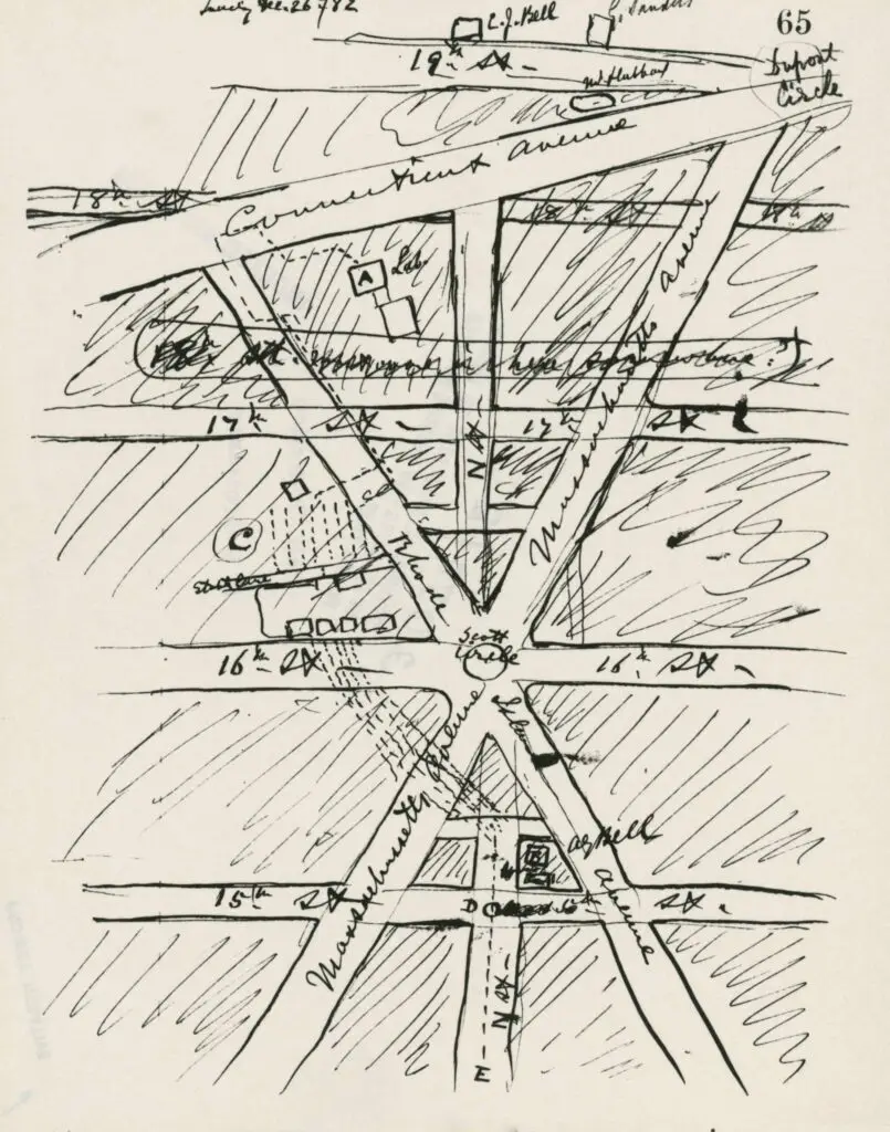
Check out this incredible hand-drawn map of Washington DC, centered on Scott Circle! You'll see Dupont Circle at the top right. Don't miss out on the play at the National Geographic headquarters (M St. between 16th and 17th) September 12-14 and 19-21. Get your tickets today!
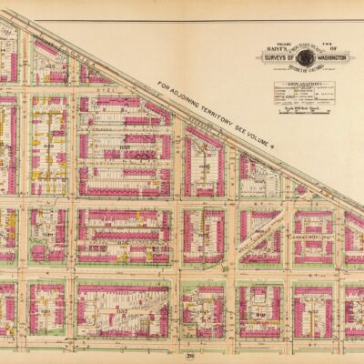
Take a look back in time to explore Brookland, an undeveloped part of Northeast DC in 1907. See the map from the Library of Congress, and learn about its history.
Explore the rural northeast region of Washington D.C. a century ago with a 1907 map from the Library of Congress. See how the area has changed over time and discover the amazing history of the city.
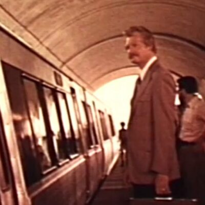
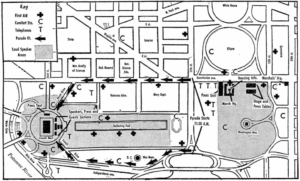
Learn about the liquor ban enacted on August 28, 1963 to mark the historic March on Washington for Jobs and Freedom. Discover what Washingtonians were told about traffic, transit, telework, and more for the momentous event.
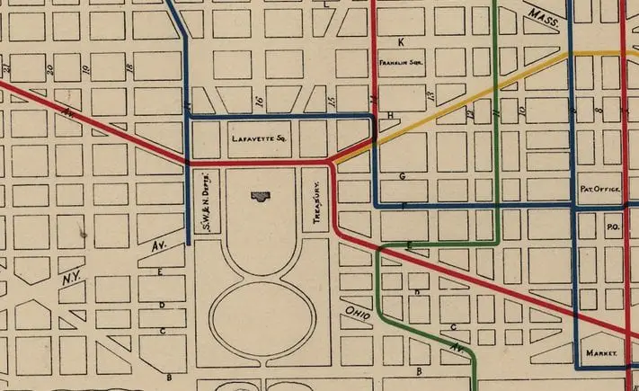
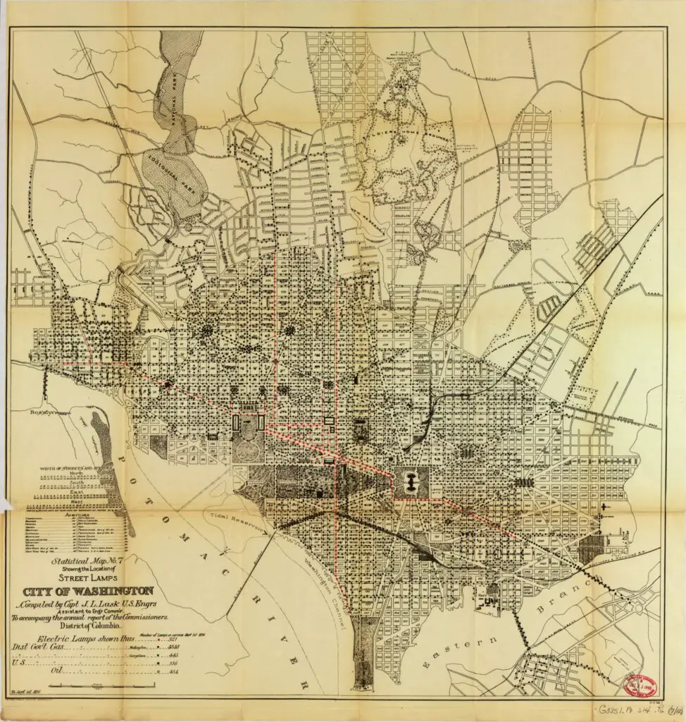
Take a look at this interesting and unique map of Washington, DC's street lamps in 1891. At the time, there were only 321 electric lamps, mostly along major thoroughfares, with close to 5,000 gas lamps.
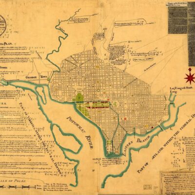
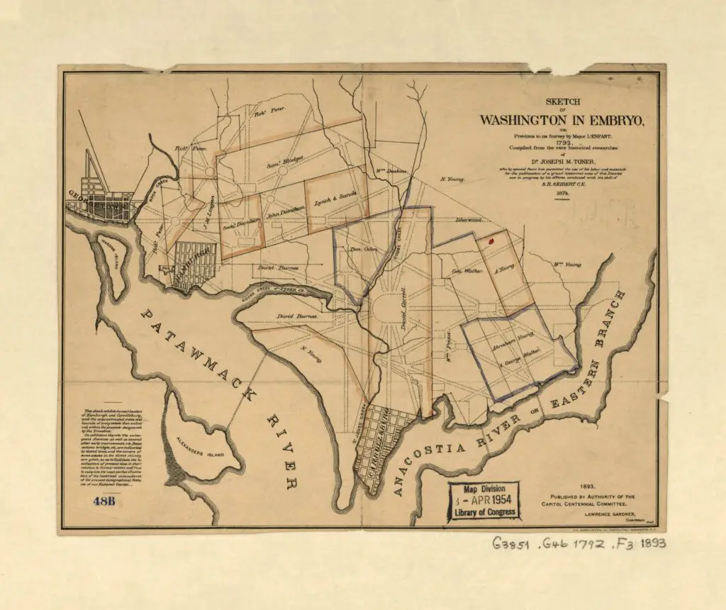
Check out this cool map of what would become the City of Washington. It was done around 1893 near the city's centennial. View the Patawmack River, not the Potomac, in this early map of Washington.
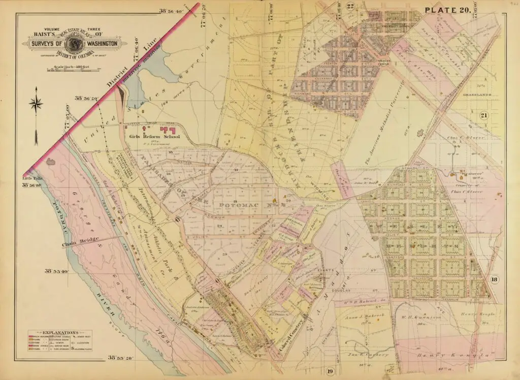
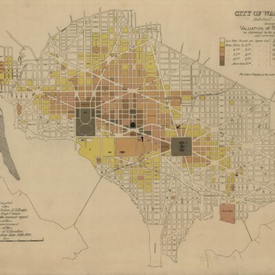
Discover the property value map from 11 years later that was compiled by Capt. W.T. Rossell and Capt. J.L. Lusk of the Engineer Department of the District of Columbia. Check it out now!
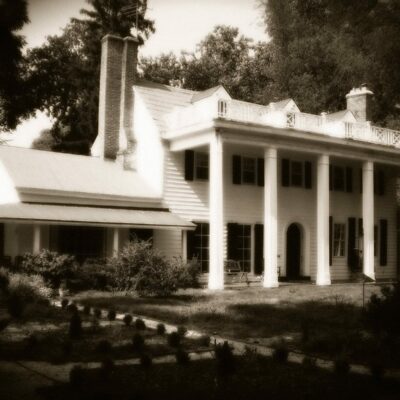
Discover the history of the neighborhood of Harlem in Washington, DC, located west of Georgetown. Learn how this area was developed in the early 1880s and why it was named after the town in the Netherlands.
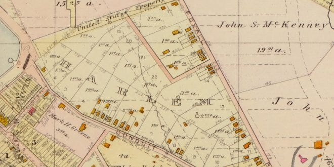
Take a look at the Palisades in 1903, and compare it to today. See a map from 1903 Baist real estate atlas, and a Google Maps view of the area today. Learn about the Palisades history with this comparative view.

![Maps accompanying the report of the operations of the Engineer Department of the District of Columbia : for the fiscal year ended June 30, 1891 : [Washington D.C.] / compiled by Capt. W.T. Rossell, U.S. Eng'rs ; compiled by Capt. J.L. Lusk, U.S. Eng'rs.](https://ghostsofdc.org/wp-content/uploads/sites/7/2013/08/cs000001-979x1024.jpg)