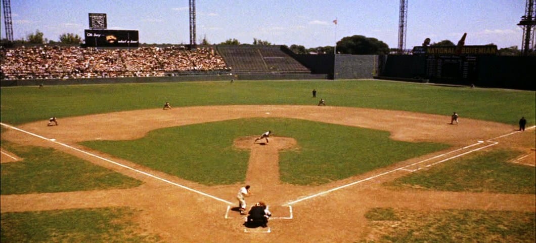
This is cool. I’ve had a few questions over the years about Griffith Stadium, and specifically, where it stood. For those of you who don’t know, the ballpark was situated where Howard University Hospital sits today, just east of Georgia Avenue and north of Florida Avenue in northwest Washington.
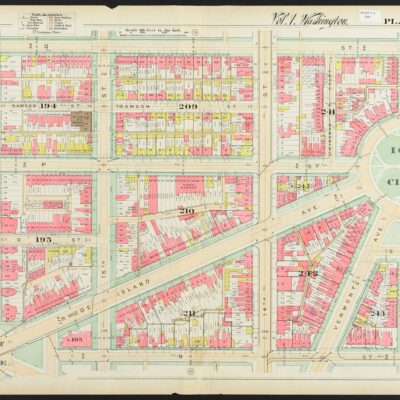
We dug up a map from 1921 and it gives a great perspective on the ballpark and surrounding neighborhood.
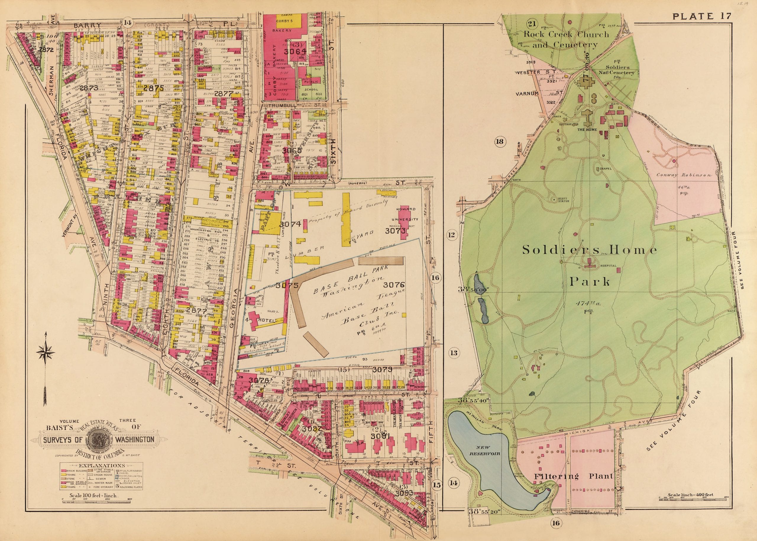
Source: Library of Congress
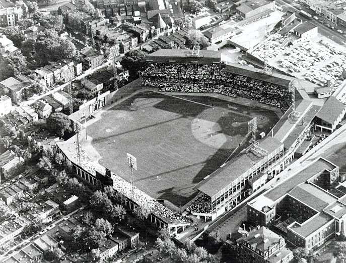
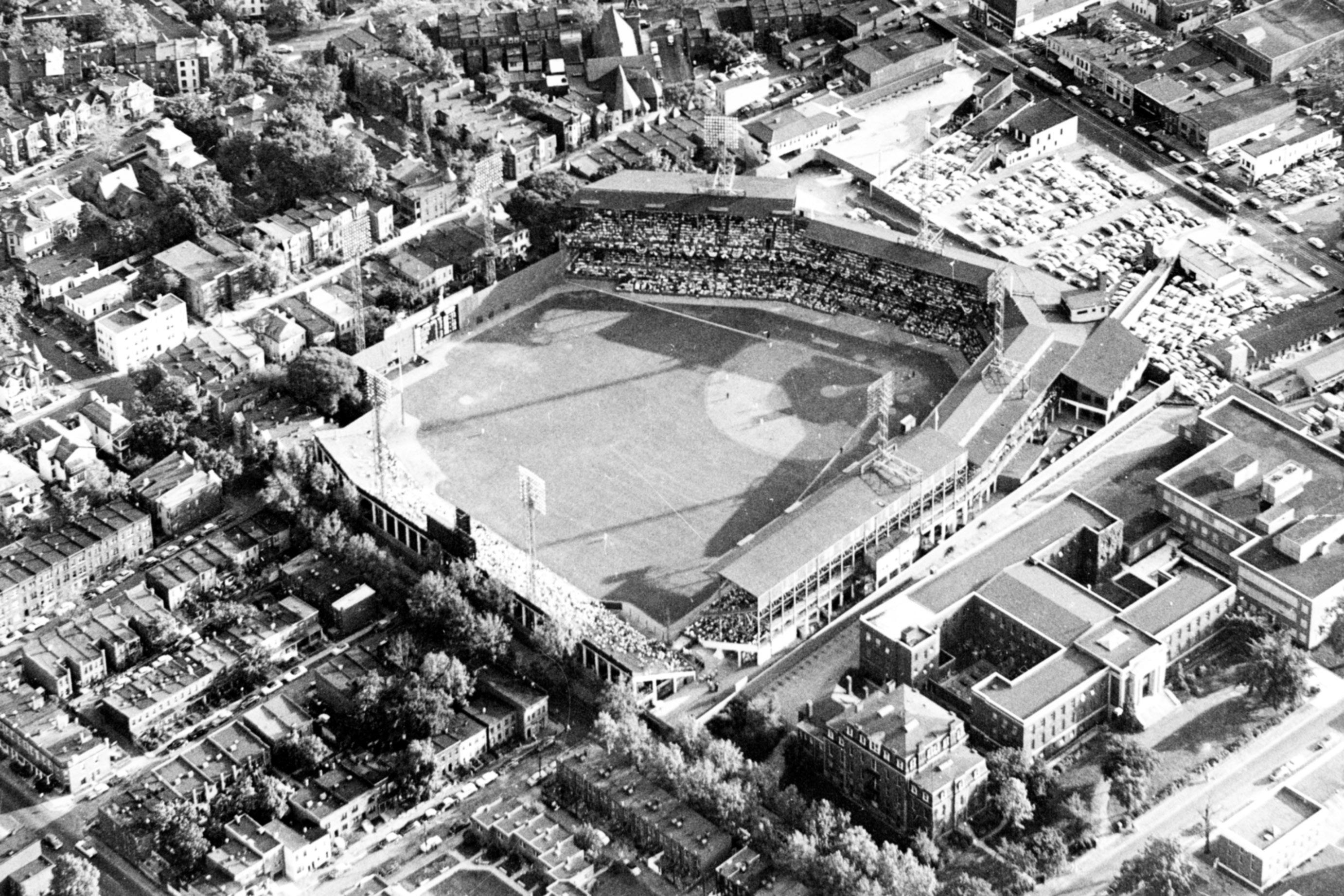
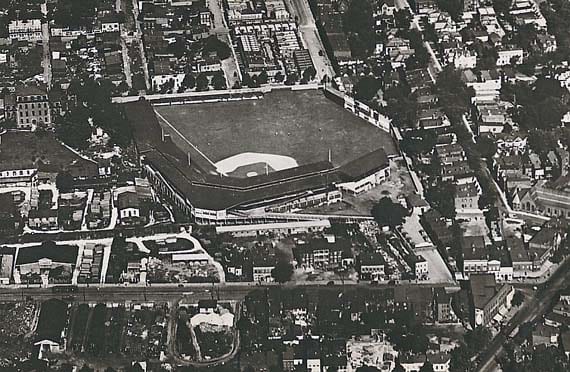
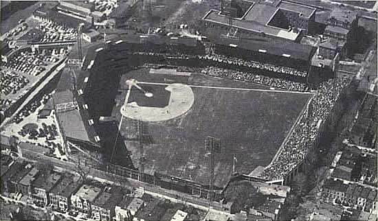
Take this map above and match try and match it up to the images of Griffith Stadium at the bottom. The map will allow you to orient yourself and see where the stadium was situated. The Soldiers Home on the right is not part of the contiguous map. It’s actually slightly north and east of the stadium.
When you start looking at the map and the photos, it gets really interesting. You can make out the neighborhoods, buildings that were demolished, and those that remained. Pretty interesting right?
Now, here are some photos of the stadium to study and match up to the map.
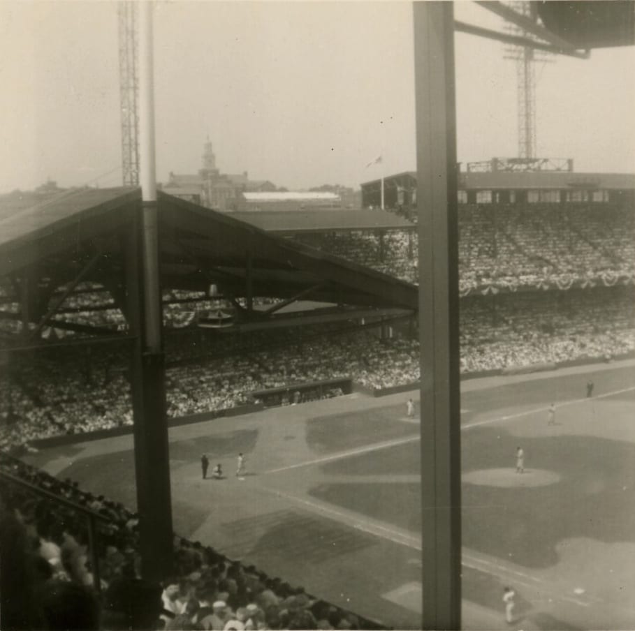
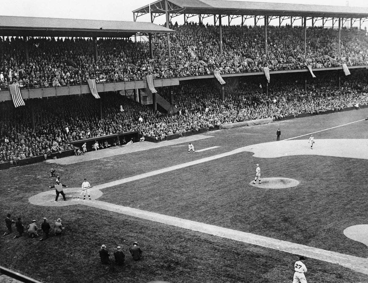
The next few images show the inside of the park during games.
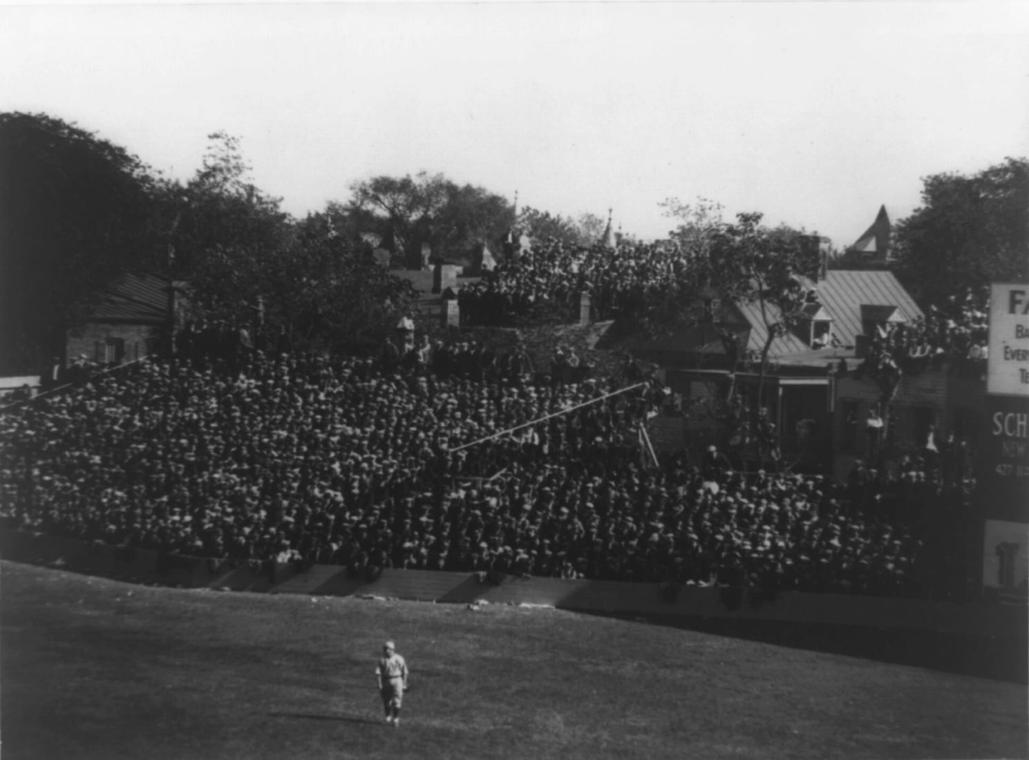
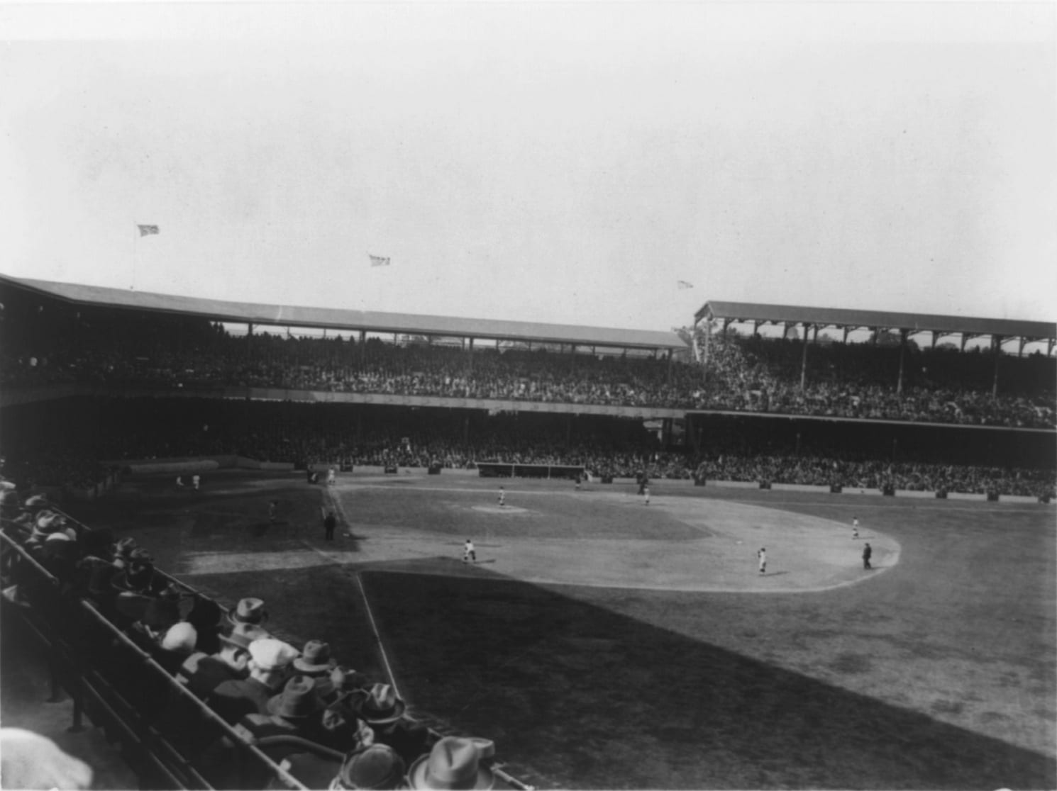
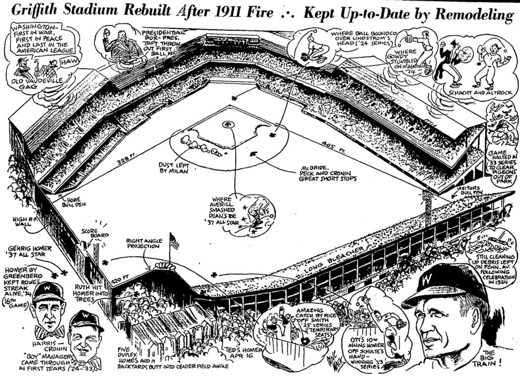
The diagram below shows the stadium design, which was kept up-to-date with remodeling and adding “modern amenities.”
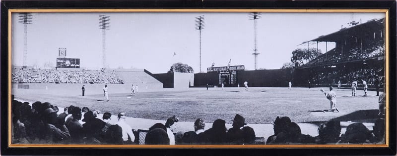
Finally, here is a lovely old color image of the ballpark looking straight to center field.
