
-
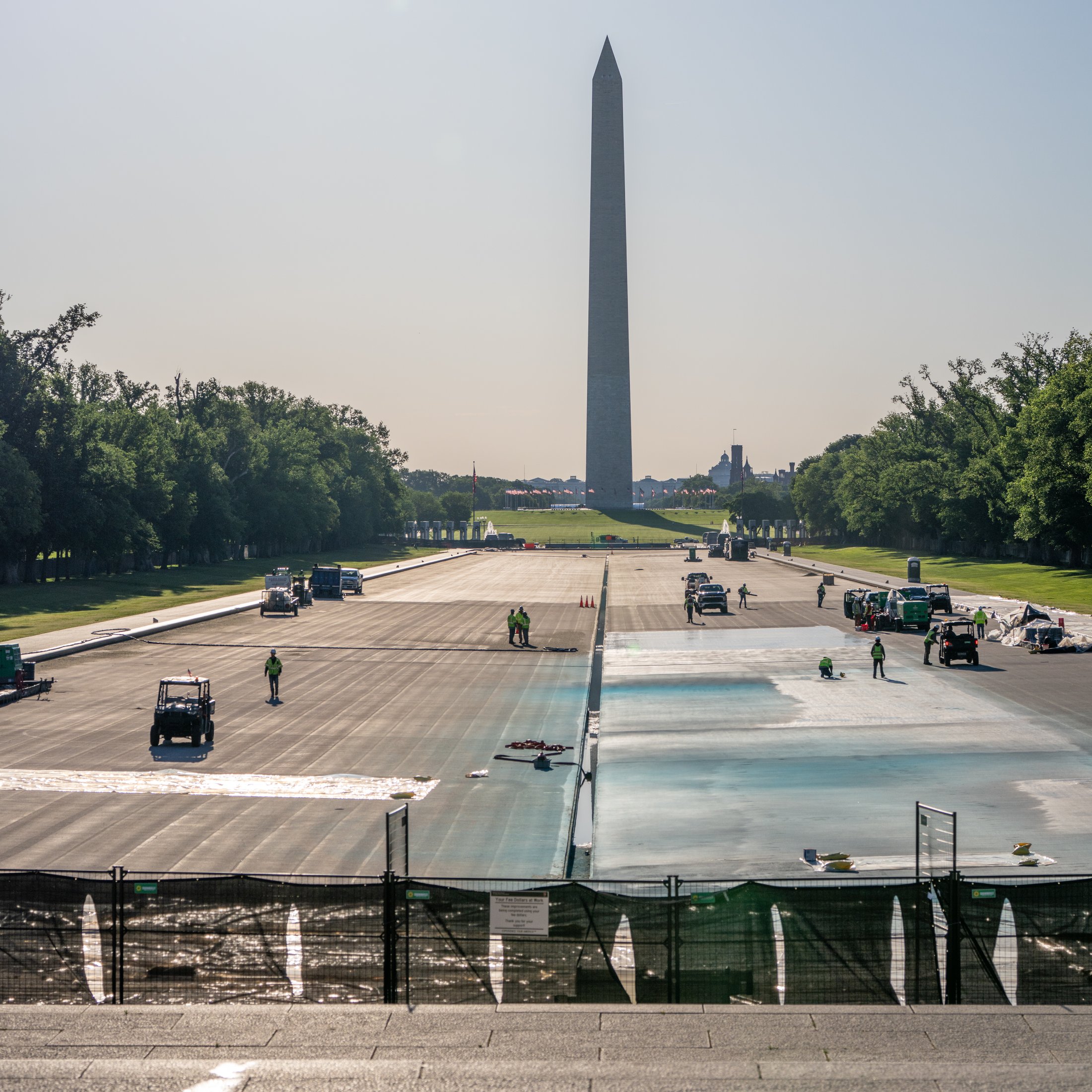
Trump Painted It Blue. Henry Bacon Wanted It Invisible: A History of the Lincoln Memorial Reflecting Pool
Trump just drove his motorcade across the drained Lincoln Memorial Reflecting Pool. The 1923 history of Henry Bacon’s mirror is wilder than that.
-
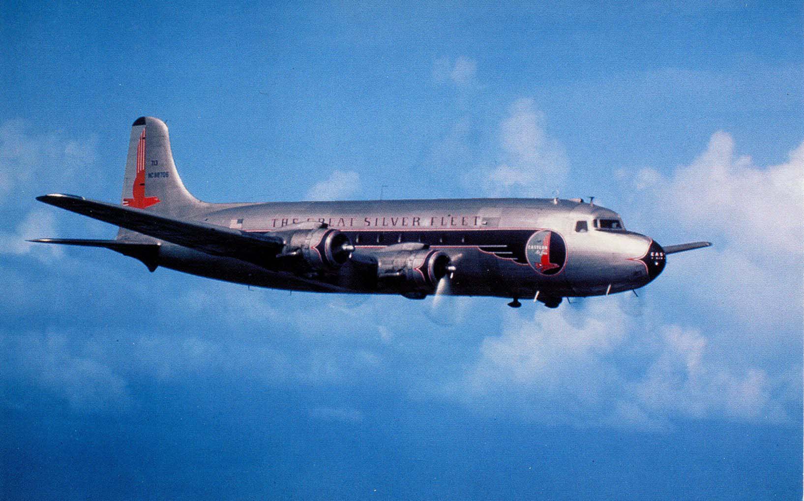
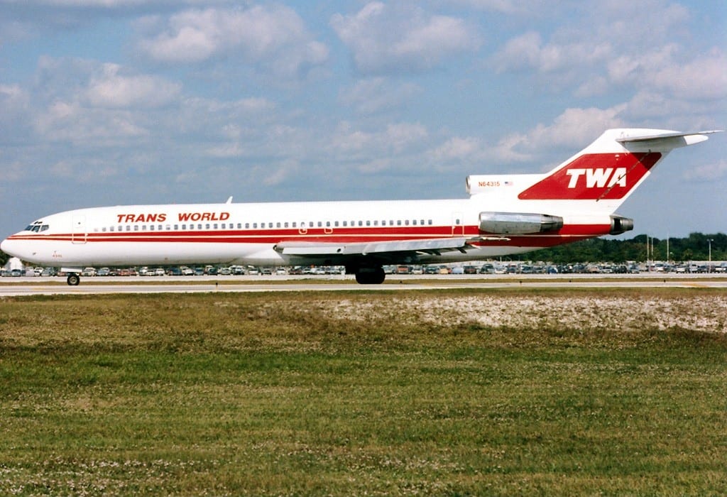
Eastern Air Lines Flight 537: The 1949 Crash That Killed 55 Near National Airport
At 11:46 on November 1st, 1949, a young controller kept calling: Bolivia 927, turn left. The pilot never answered. Fifty-five…
-
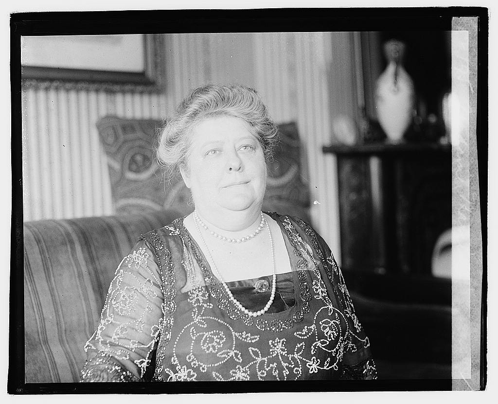
The DC Astrologer Who Ran the White House: Madame Marcia, Florence Harding, and the Prediction That Came True
From a parlor near Dupont Circle, Madame Marcia told Florence Harding her husband would die in office. Three years later…
More Featured Stories
-
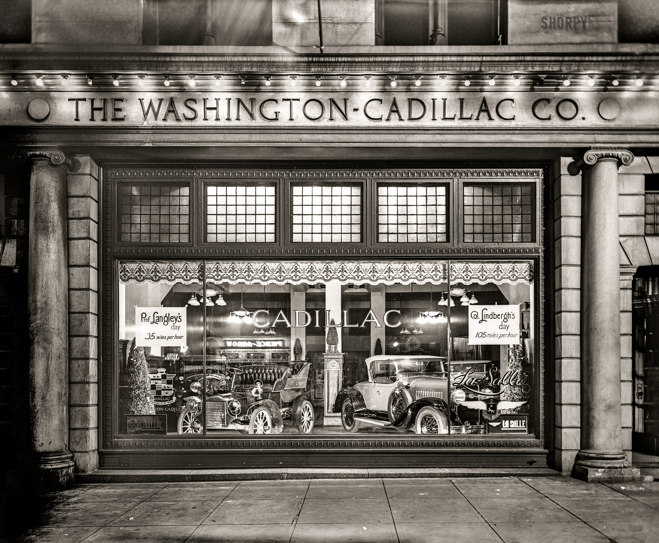
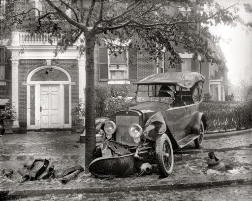
Cook & Stoddard Company: Cadillac’s Glory Days in Downtown Washington
-
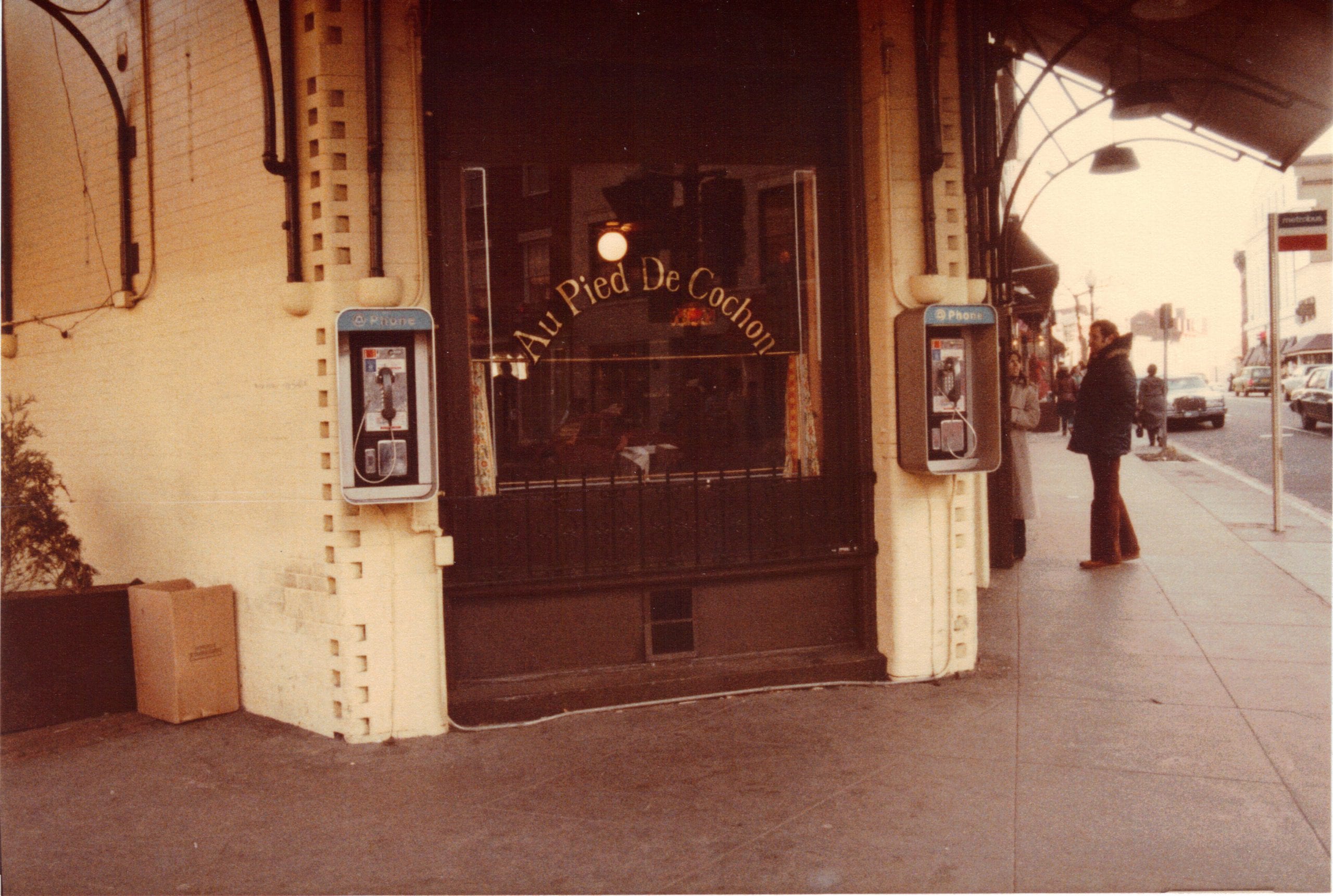
Au Pied de Cochon: D.C.’s Iconic Culinary Landmark
-
The More Things Change, The More They Stay The Same
-
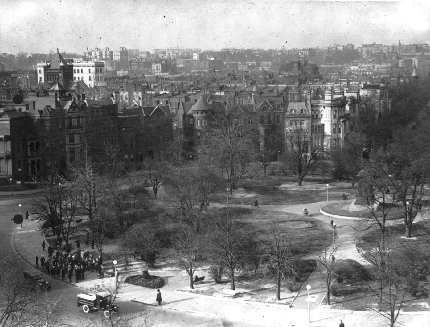
A Look Back at Logan Circle in the 1920s
-
Prohibition Officer Charged With Drunk Driving
-
Dulles Airport’s 1970 Hijacking and $100 Million Ransom