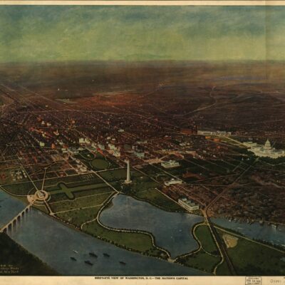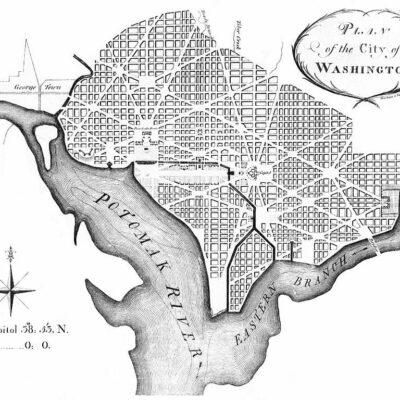
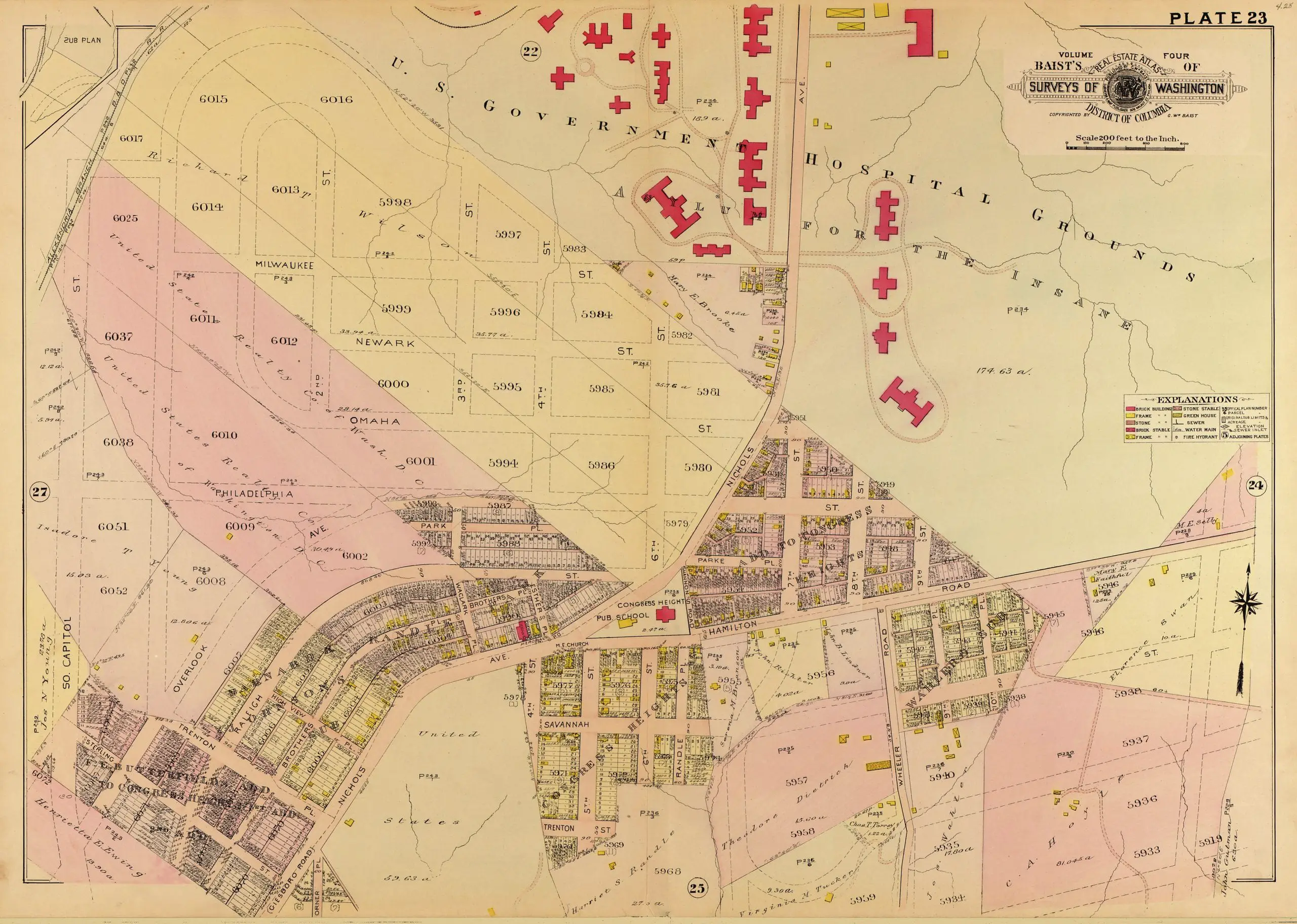
In the interest of giving GoDCers more on Congress Heights, here is a map of the area in 1907.
And compare it to the current map from Google.
[googlemaps https://maps.google.com/?ie=UTF8&ll=38.843852,-76.998539&spn=0.022161,0.045276&t=m&z=15&output=embed]