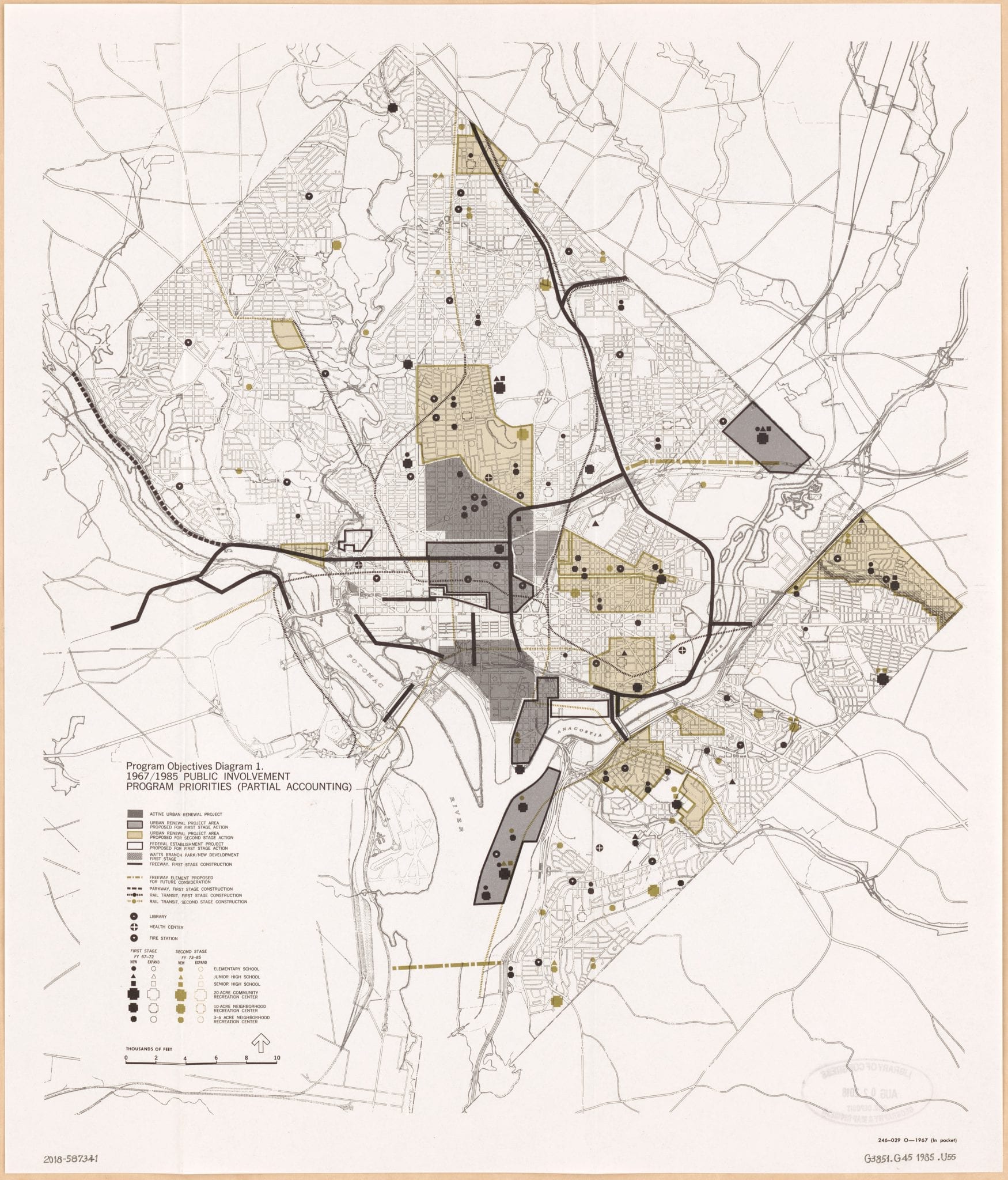
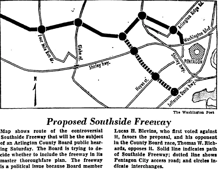
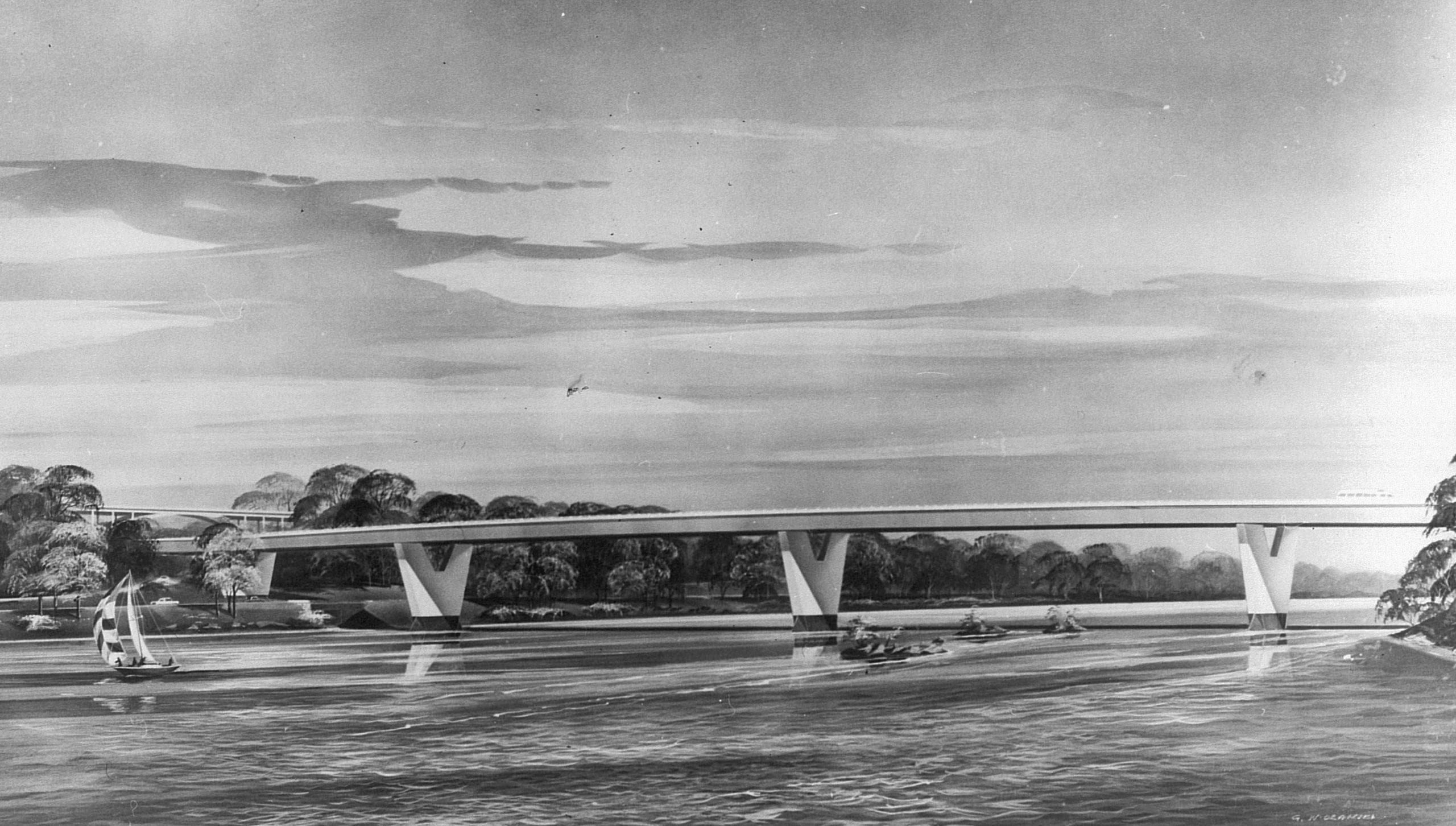
The 1963 Report Where DC Begged Washington to Pave Over the City
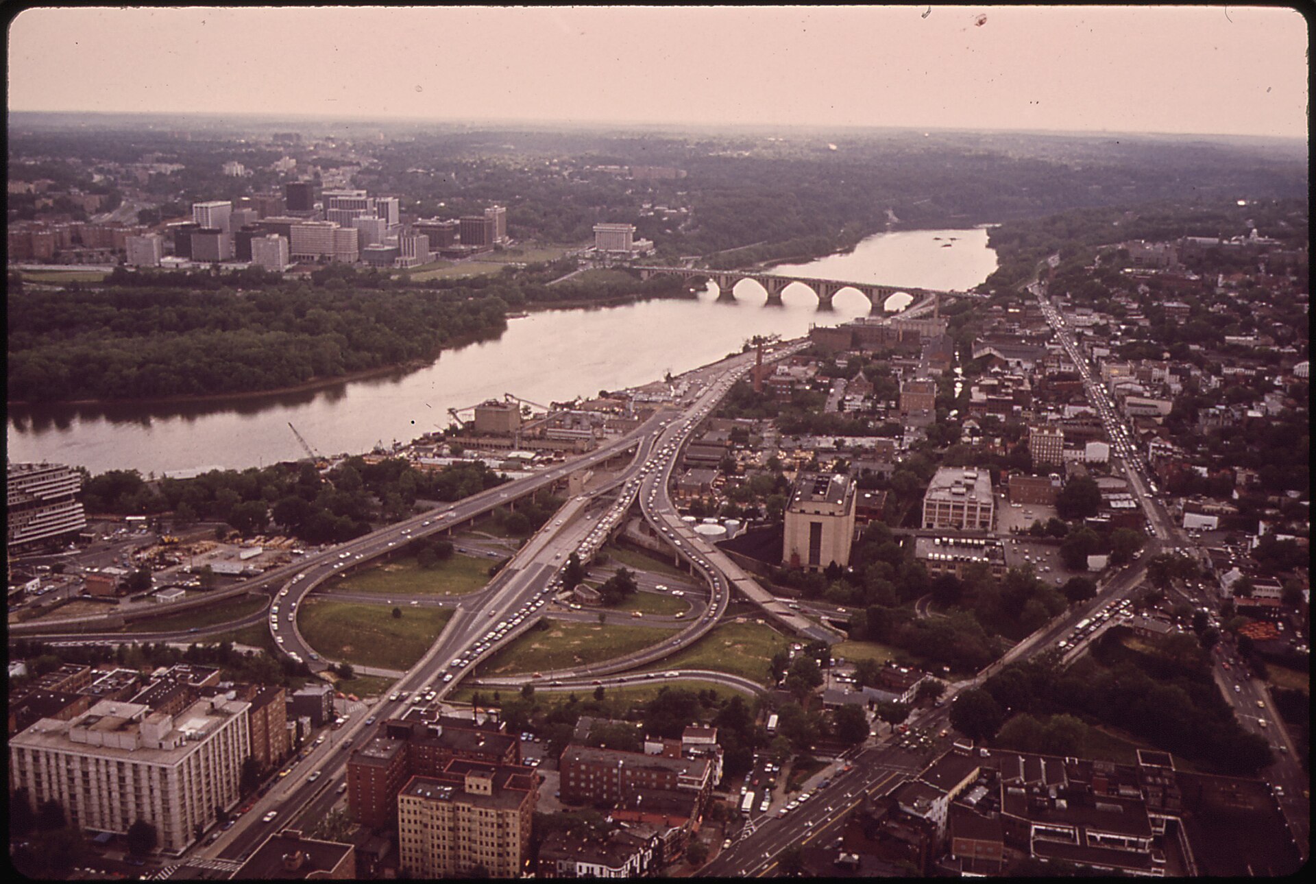
In April 1963, DC’s three appointed commissioners begged the federal government to build every freeway on the map: the Three Sisters Bridge, the Inner Loop, the East Leg, the North-Central. Almost none of it survived the decade.