
1890s Map of Diarrhea Deaths in Washington
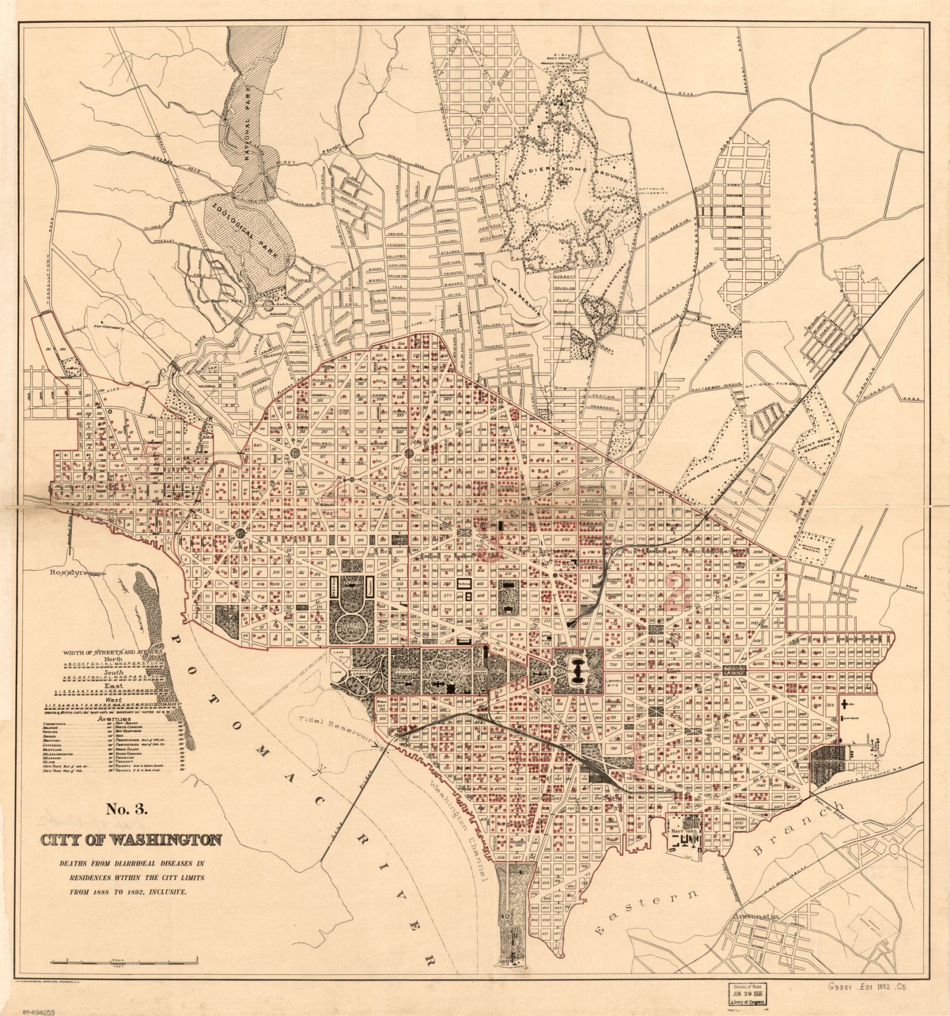
An 1890s map plots DC deaths from diarrhea by neighborhood, concentrated in Swampoodle and Murder Bay where sanitation was worst. One of the more unusual maps we have found.
The 1890s were gilded years for Washington, with grand new buildings rising across the capital and the city’s population surging. The Library of Congress opened in 1897, the streetcar network expanded rapidly, and the rowhouses and apartment buildings that define Northwest DC filled in block by block.
An 1890s map plots DC deaths from diarrhea by neighborhood, concentrated in Swampoodle and Murder Bay where sanitation was worst. One of the more unusual maps we have found.
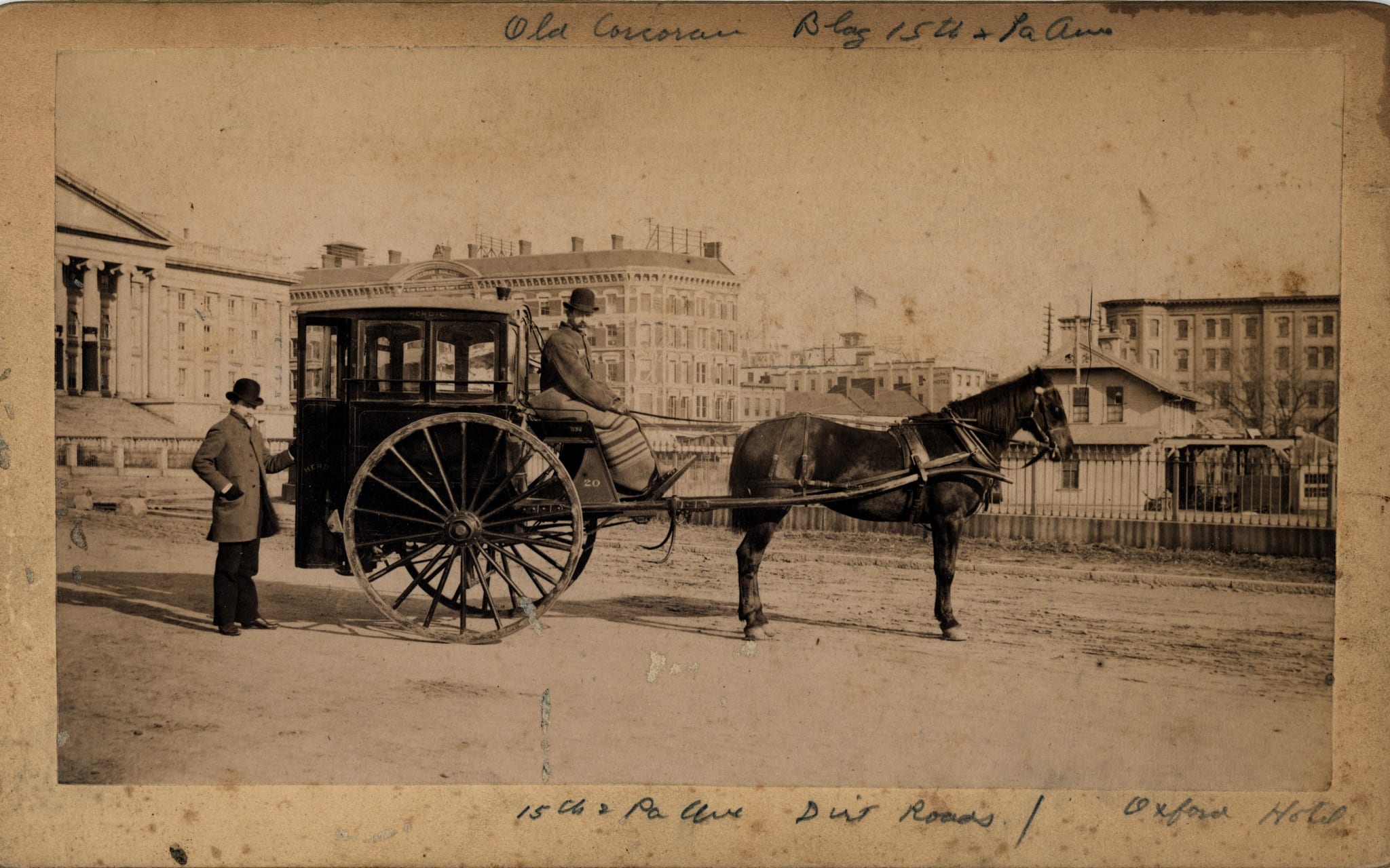
A herdic cab is a type of horse-drawn carriage, used as an omnibus, invented by Peter Herdic of Williamsport, Lycoming County, Pennsylvania in 1881.

Take a look at this fascinating 1894 map of Tennallytown and Reno, done by G.M. Hopkins & Co. We’ll point out a few things of note and invite you to share what else you notice. Happy Friday!
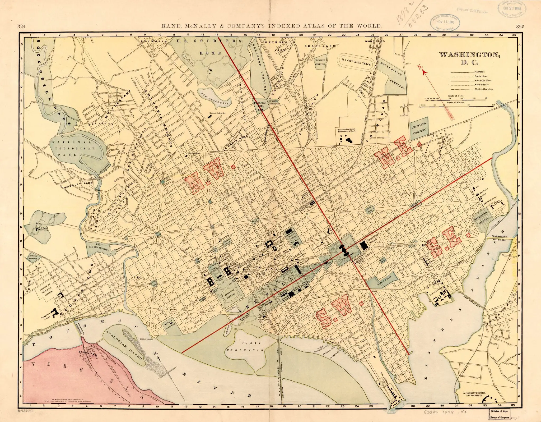
Take a look back in time to 1898 with this historic Rand McNally map of Washington, DC. Get a glimpse of the city as it was over 100 years ago.
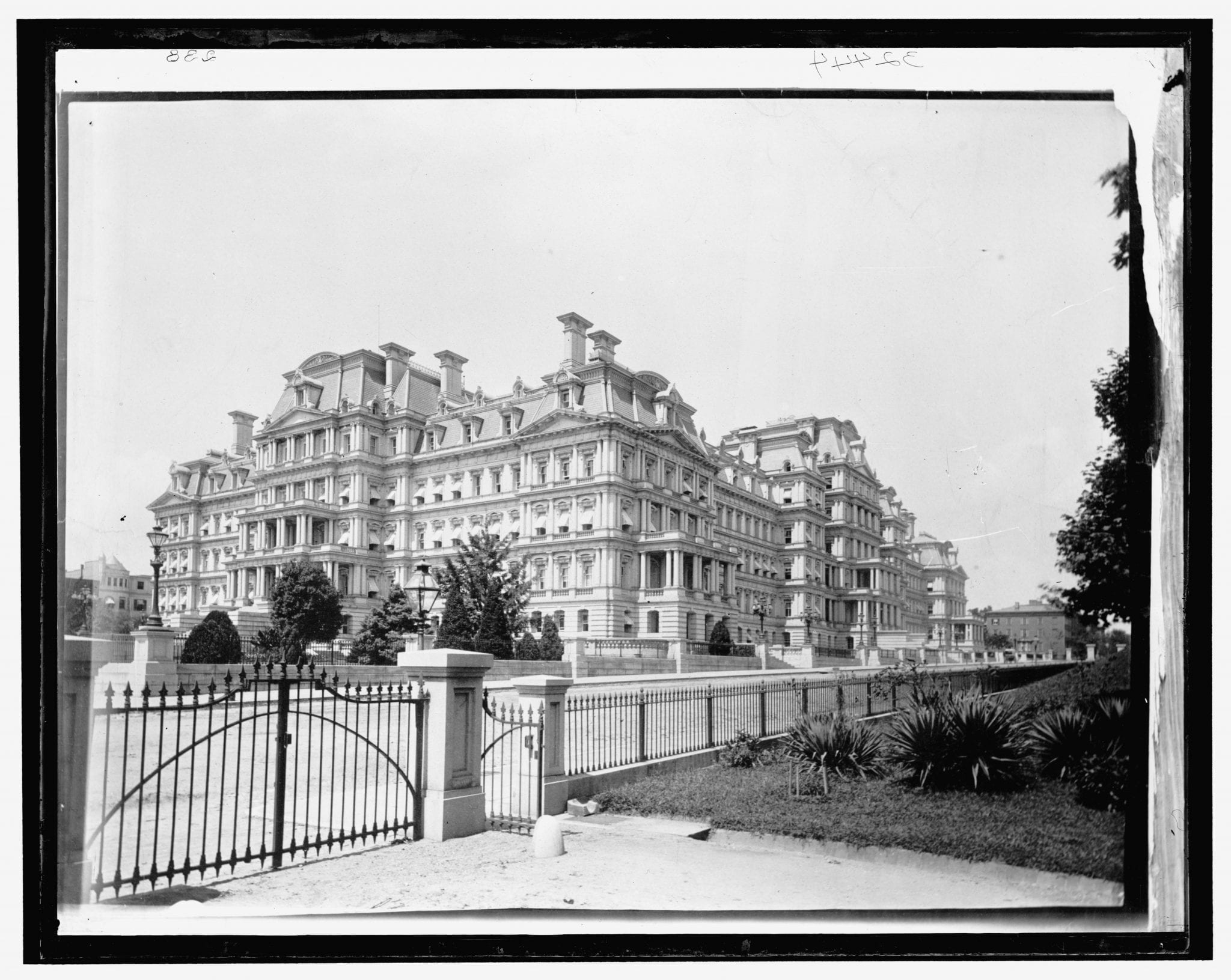
This extremely rare image of the State, War, and Navy Building is from the 1890s.
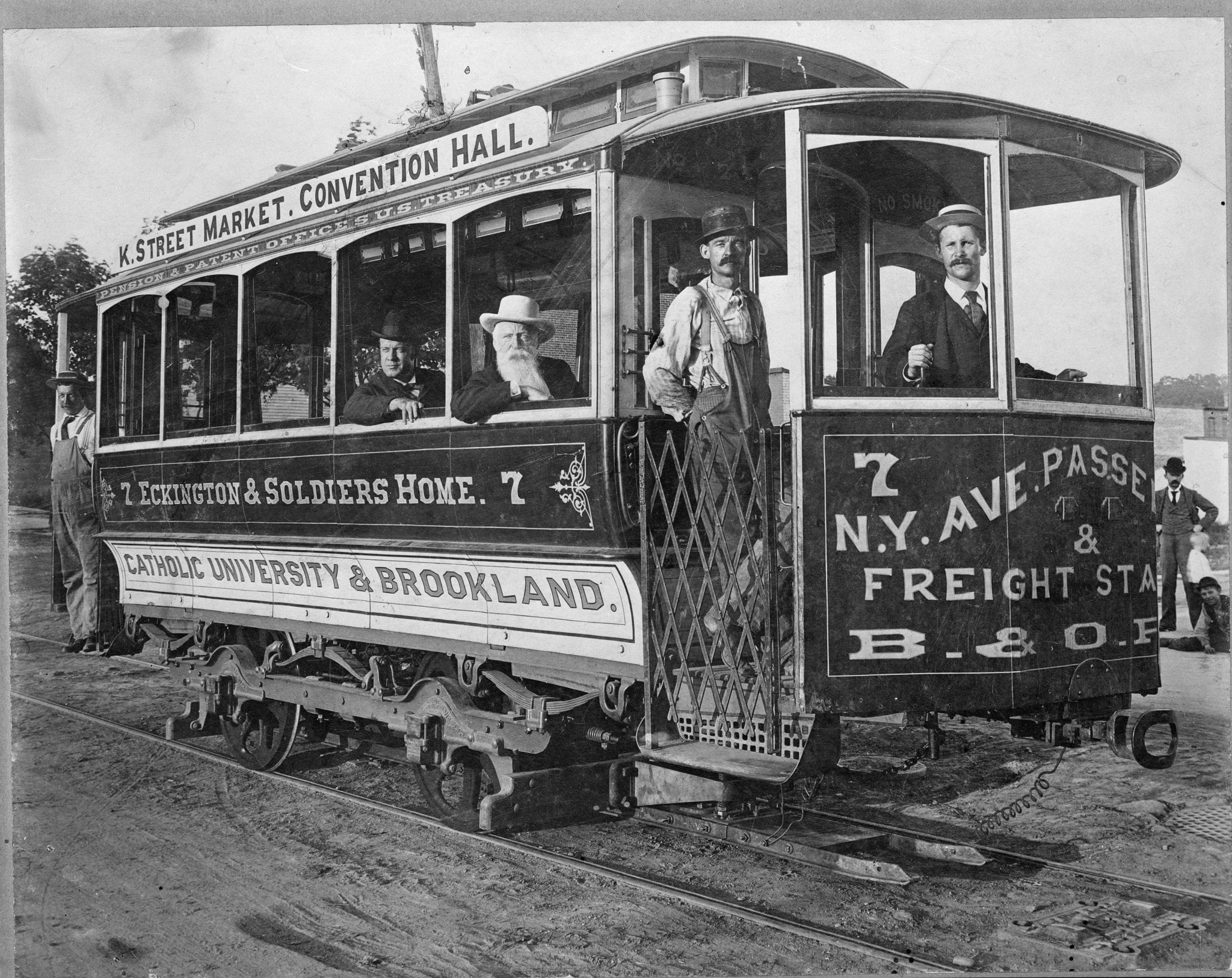
Take a trip back in time and see what a D.C. streetcar looked like well over 100 years ago. Click on the image for more details and soak up the nostalgia.
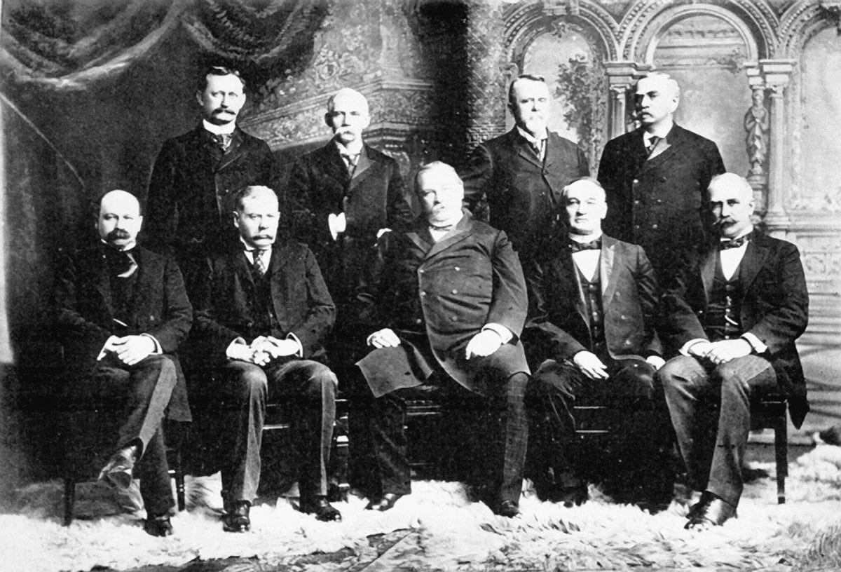
Using a directory from the 53rd Congress, we mapped where the members of Grover Cleveland’s second cabinet lived in Washington, D.C. Also explains how Cleveland Park got its name.
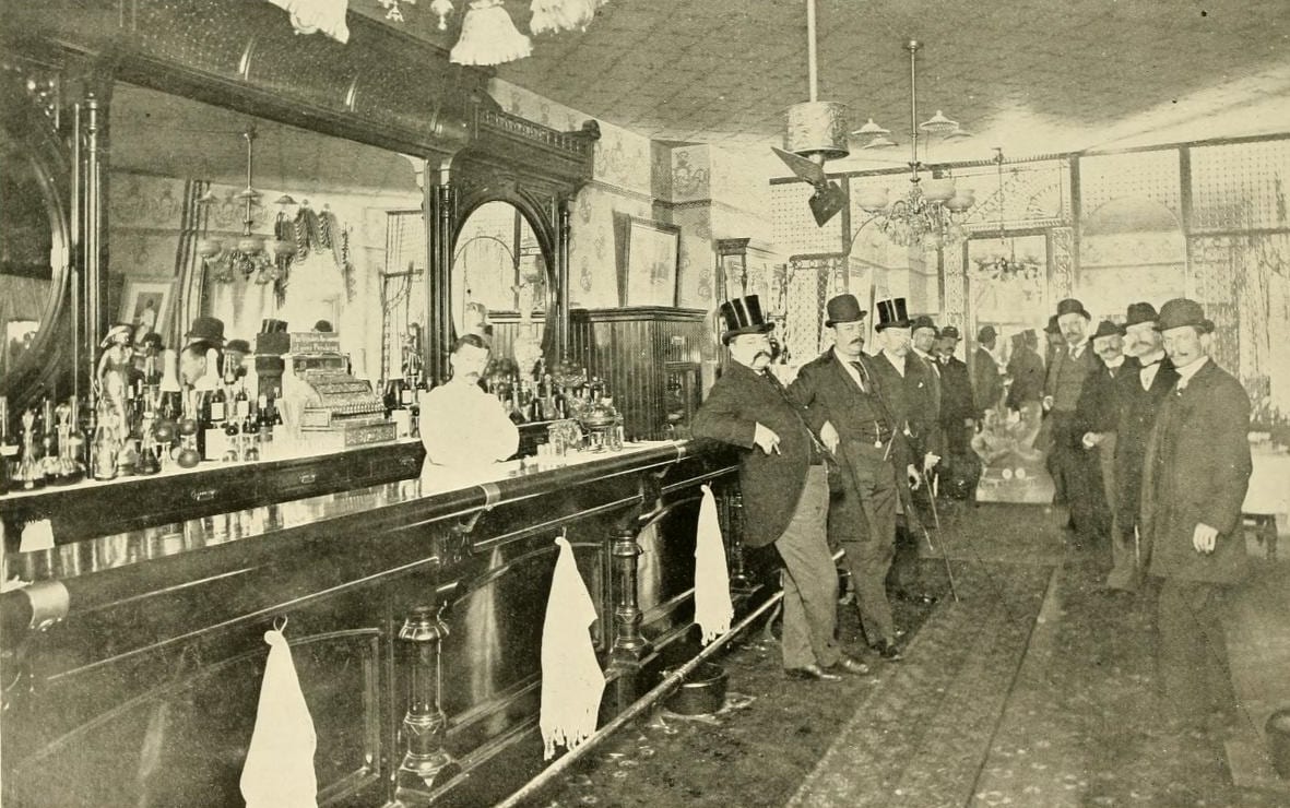
Join us as we explore the lost history of Warwick’s Saloon, formerly located at 13th and Penn in Washington, DC. We’ll take a look at the bar, the billiard room, and the interesting story of a Secret Service raid.
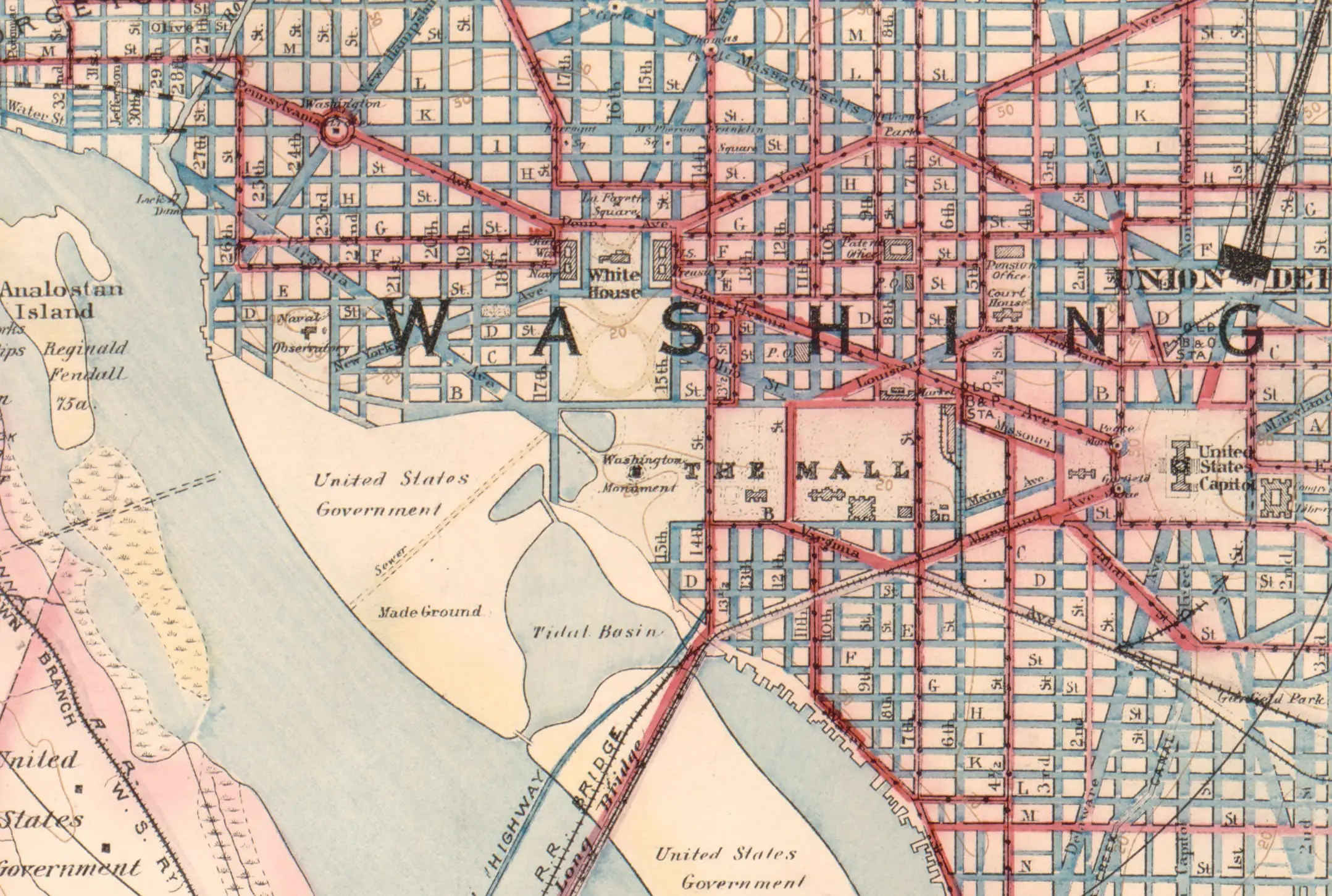
DC’s diagonal avenues, named for states, all radiate from the Capitol. The prominent ones nearby honor the original thirteen colonies.