-ad 189-

Exploring the Washington Aqueduct with a Civil War-Era Map

1864 map of the Washington Aqueduct
Check out this amazing Civil War-era map of the Washington Aqueduct. See how the Aqueduct and the C&O Canal looked in 1864. Source: Library of Congress.
-ad 188-
-ad 615-

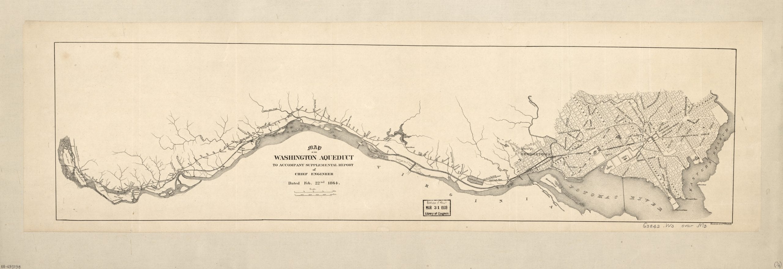
This is a terrific old map from the Civil War, showing the Washington Aqueduct and Chesapeake & Ohio Canal.

1864 map of the Washington Aqueduct

Source: LIbrary of Congress

Today's Recommendation

-ad 617-

Suggested Reading

Can You Support Us?

If you enjoyed this post and can help support our blog, please consider subscribing. Thank you.

-ad 616-

Today's Recommendation

JOIN OUR EMAIL LIST

Enjoy daily

Ghosts of DC stories