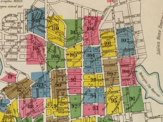


Check this sweet map out. The whole area is really undeveloped, and the streets still have the old names (read about the name changes). Share this on Facebook with your friends, and make sure you open the full-size image for a larger version.
Columbia Heights in 1903 (Library of Congress)
Liked this one? Get more tomorrow.
Lost Washington stories in your inbox most mornings: the newest, plus a few from the archive.
From a recent email
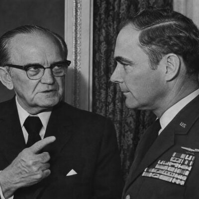 Senator John Stennis Shot in Northwest Washington in 1973
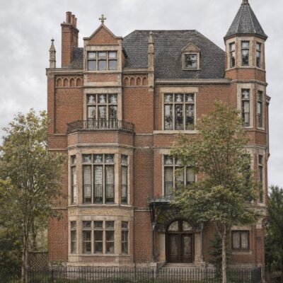 Chateau Bonaparte: The Bonaparte Family’s K Street Home
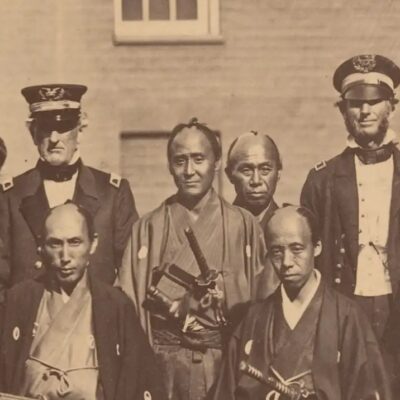 Japan’s First Embassy to America Arrives in 1860
Free. Unsubscribe anytime.
We use AI to help research, write and edit stories across our sites. Here’s how we use AI.Suggest a correction