-ad 189-

Explore a Rare 1815 Property Value Map of Washington, DC

Map exhibiting the property of the U.S. in the vicinity of the Capitol : colored red, with the manner in which it is proposed to lay off the same in building lots, as described in the report to the Sup't of the city to which this is annexed / BHLatrobe, one of the surveyors of the city of Washington, Dec. 3d 1815.
Check out this rare 1815 property value map of Washington, DC. Click on the map for greater detail and discover the city's history.
-ad 188-
-ad 615-

It’s map Friday! Hopefully you liked the last map we posted, because maps seem to be super popular among GoDCers. Check this one out and click on it for greater detail.
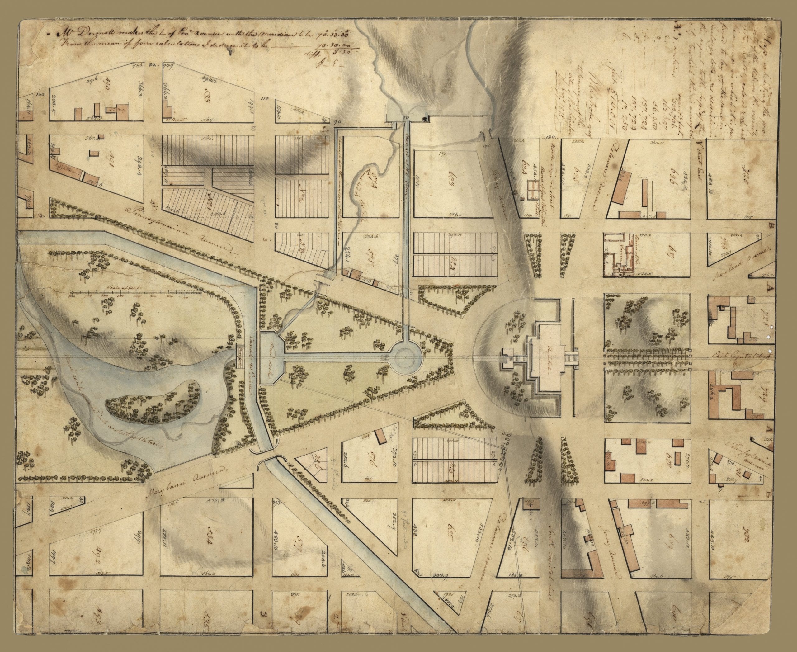
Map exhibiting the property of the U.S. in the vicinity of the Capitol : colored red, with the manner in which it is proposed to lay off the same in building lots, as described in the report to the Sup't of the city to which this is annexed / BHLatrobe, one of the surveyors of the city of Washington, Dec. 3d 1815.

Today's Recommendation

-ad 617-

Suggested Reading

Can You Support Us?

If you enjoyed this post and can help support our blog, please consider subscribing. Thank you.

-ad 616-

Thanks for reading a few Ghosts of DC posts today.

Support Us

We rely on donations and a small amount of ad dollars to support our efforts. Are you able to chip in a few dollars today to help our site?

JOIN OUR EMAIL LIST

Enjoy daily

Ghosts of DC stories