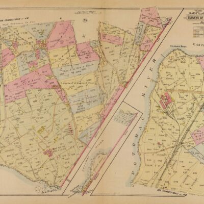
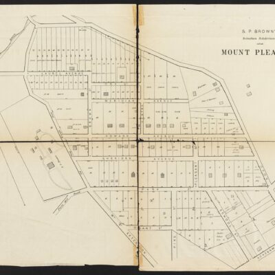
We haven’t posted a good old map in a while, so here is one from 1903, showing the Palisades.
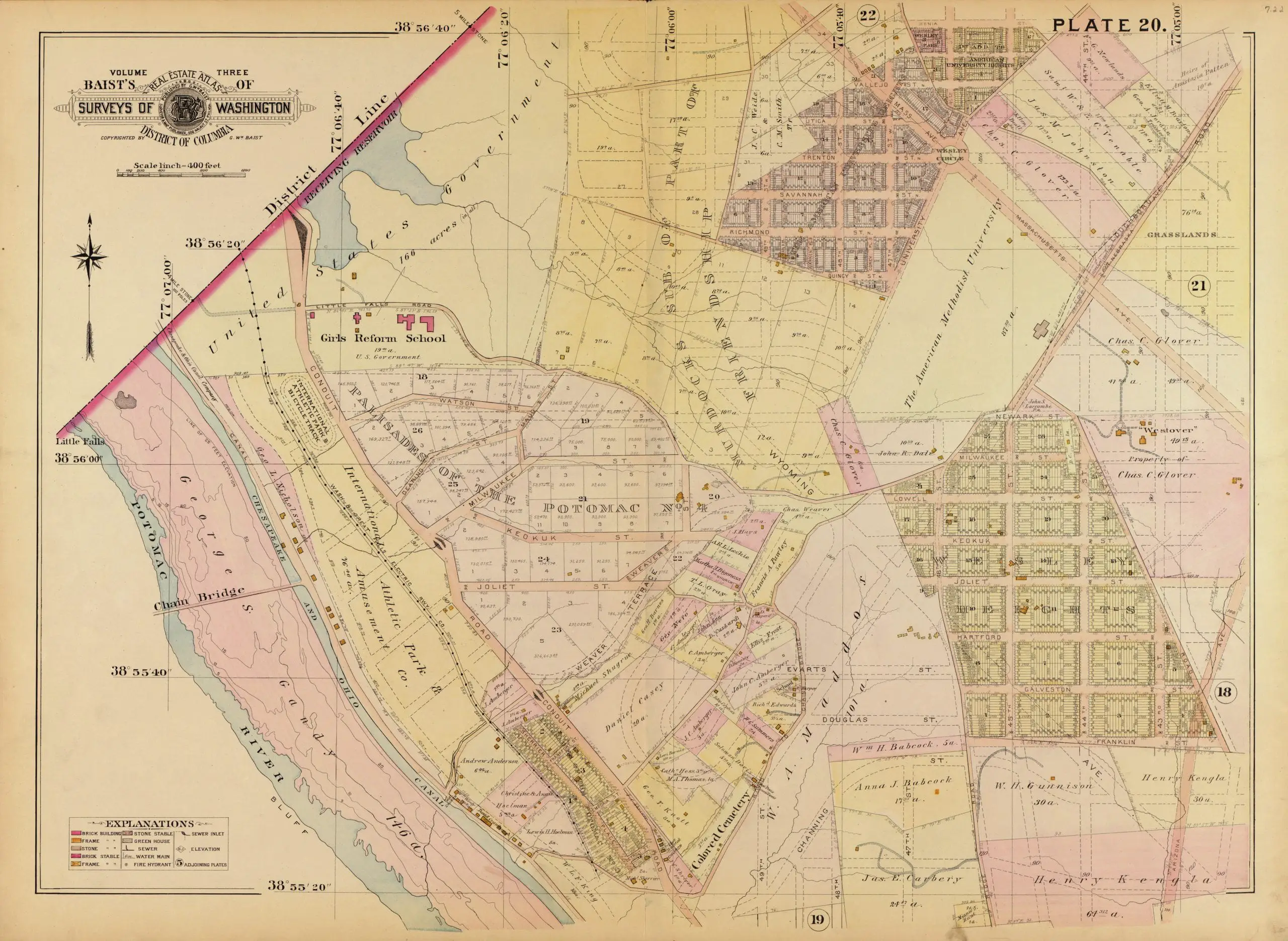
Source: Library of Congress
And here is the map of the area today.
[googlemaps https://maps.google.com/maps?t=m&dg=opt&ie=UTF8&ll=38.935561,-77.109561&spn=0.0114,0.021479&z=16&output=embed]