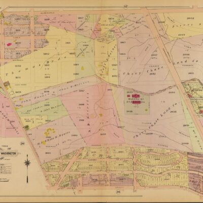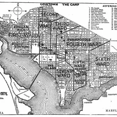

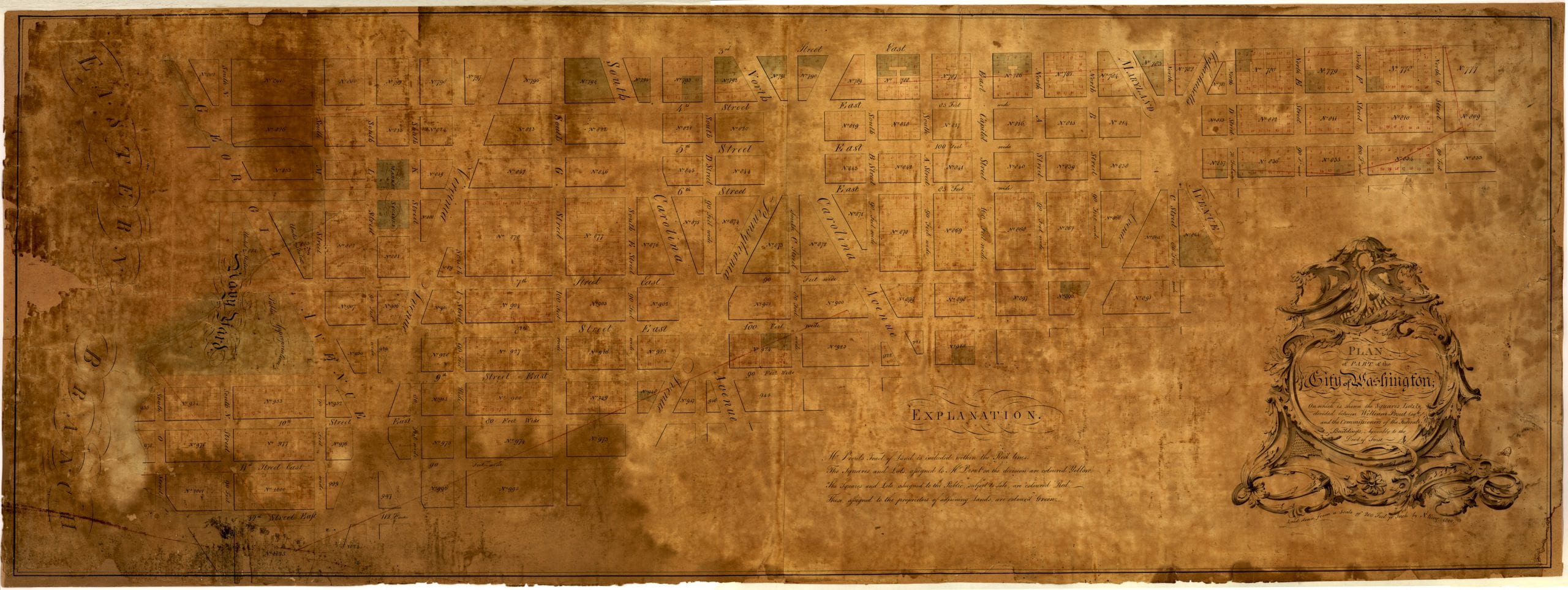
This map is a little difficult to see, but it’s a great old plan of Washington on Capitol Hill. The streets are laid out and the lots and marked. (To orient yourself, up on the map is west.)

This map is a little difficult to see, but it’s a great old plan of Washington on Capitol Hill. The streets are laid out and the lots and marked. (To orient yourself, up on the map is west.)