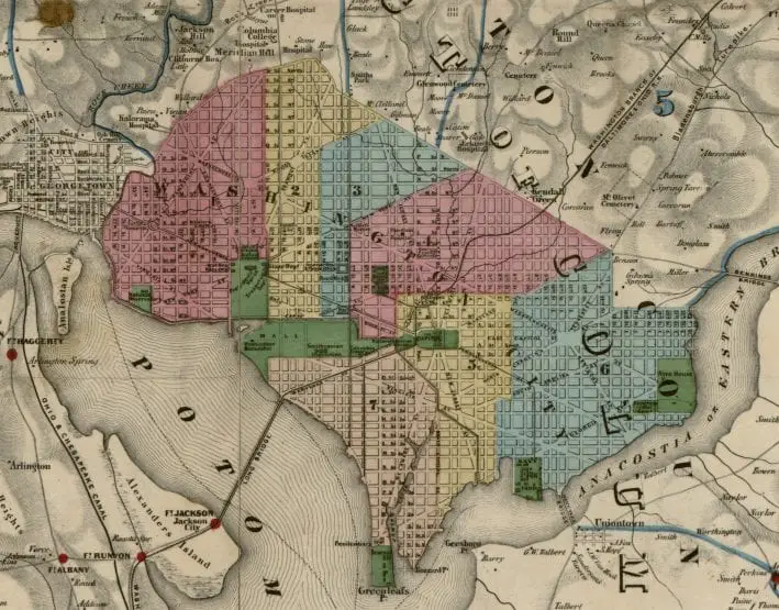
Exploring Rural Northeast Washington D.C. a Century Ago
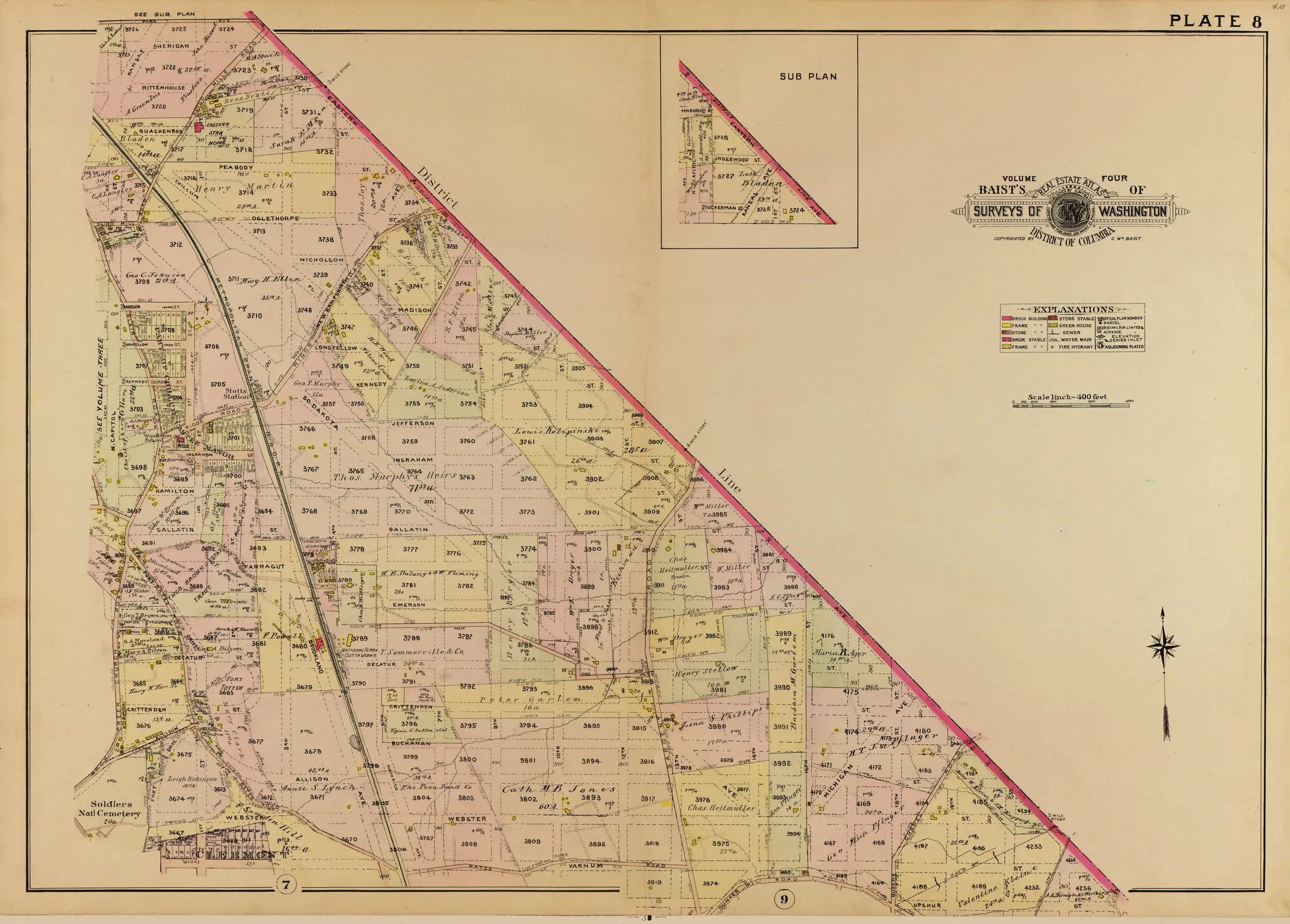
Explore the rural northeast region of Washington D.C. a century ago with a 1907 map from the Library of Congress. See how the area has changed over time and discover the amazing history of the city.