Skip to content
Ghosts of DC

Ghosts of DC

  • The Best Of
  • Neighborhoods
    • Southwest DC
      • Waterfront
    • Maryland
      • Gaithersburg
      • Rockville
      • Bethesda
      • Hyattsville
      • Silver Spring
      • Bladensburg
    • Virginia
      • McLean
      • Falls Church
      • Alexandria
      • Vienna
      • Arlington
    • Southeast DC
      • Congress Heights
      • Navy Yard
      • Capitol Hill
      • Anacostia
    • Northeast DC
      • Trinidad
      • Woodridge
      • Deanwood
      • Brookland
    • Northwest DC
      • Tenleytown
      • Park View
      • Friendship Heights
      • Brightwood
      • Crestwood
      • Sheridan-Kalorama
      • The Palisades
      • Logan Circle
      • Petworth
      • Glover Park
      • Bloomingdale
      • Georgetown
      • Woodley Park
      • Dupont Circle
      • Columbia Heights
      • Cleveland Park
      • Adams Morgan
      • Mt. Pleasant
      • Chevy Chase
      • Cathedral Heights
      • Chinatown
    • Lost Neighborhoods
      • Hell’s Bottom
      • Swampoodle
      • Murder Bay
  • Notable People & Places
    • Places
      • Washington Monument
      • Library of Congress
      • The White House
      • The Capitol Building
      • Dulles Airport
    • People
      • Franklin D. Roosevelt
      • Calvin Coolidge
      • Officer Sprinkle
      • Dwight D. Eisenhower
      • Warren G. Harding
      • William McKinley
      • Abraham Lincoln
      • John F. Kennedy
      • Teddy Roosevelt
      • Woodrow Wilson

Foxhall Crescent

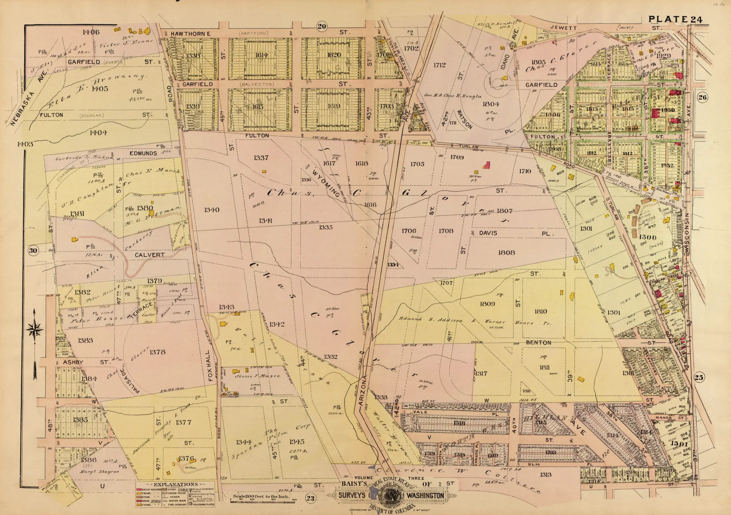
DC Had Its Own Harlem: The Neighborhood West of Georgetown

March 7, 2023August 15, 2013 by ghostsofdc
Harlem, DC

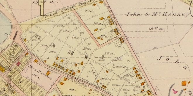
Discover the history of the neighborhood of Harlem in Washington, DC, located west of Georgetown. Learn how this area was developed in the early 1880s and why it was named after the town in the Netherlands.

Categories GoDCers Love Maps Tags Foxhall Crescent 1 Comment

Exploring Foxhall Crescent in 1921: A Map of a Very Rural Area

December 20, 2021April 19, 2013 by ghostsofdc
1921 map of Foxhall Crescent

Take a look at this 1921 map of Foxhall Crescent, a very rural area in Washington, DC. Learn more about the history of this area and explore the map to see what it looked like in 1921.

Categories GoDCers Love Maps Tags 1920s, Foxhall Crescent
© 2026 Ghosts of DC • Built with GeneratePress