Skip to content
The Best Of
Neighborhoods
Southwest DC
Waterfront
Maryland
Gaithersburg
Rockville
Bethesda
Hyattsville
Silver Spring
Bladensburg
Virginia
McLean
Falls Church
Alexandria
Vienna
Arlington
Southeast DC
Congress Heights
Navy Yard
Capitol Hill
Anacostia
Northeast DC
Trinidad
Woodridge
Deanwood
Brookland
Northwest DC
Tenleytown
Park View
Friendship Heights
Brightwood
Crestwood
Sheridan-Kalorama
The Palisades
Logan Circle
Petworth
Glover Park
Bloomingdale
Georgetown
Woodley Park
Dupont Circle
Columbia Heights
Cleveland Park
Adams Morgan
Mt. Pleasant
Chevy Chase
Cathedral Heights
Chinatown
Lost Neighborhoods
Hell’s Bottom
Swampoodle
Murder Bay
Notable People & Places
Places
Washington Monument
Library of Congress
The White House
The Capitol Building
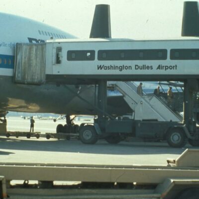
Dulles Airport
People
Franklin D. Roosevelt
Calvin Coolidge
Officer Sprinkle
Dwight D. Eisenhower
Warren G. Harding
William McKinley
Abraham Lincoln
John F. Kennedy
Teddy Roosevelt
Woodrow Wilson
Posted In February 12, 2015
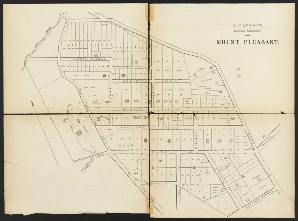
Exploring an 1874 Map of Mt. Pleasant and Columbia Heights Before the Streets Were Renamed
Take a look at a map of Mt. Pleasant and Columbia Heights from 1874, before the streets were renamed in the early 20th century. See the lot numbers, building footprints, and more. Source: Dig DC.
No posts found
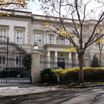
The Story of Russian Oligarch Oleg Deripaska's Mansion
Uncovering the History & Origin of Annandale, VA
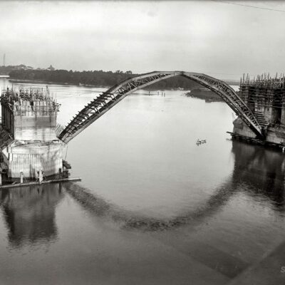
The Construction of Key Bridge Connecting Georgetown and Rosslyn
No posts found
-ad 615-
Hear the Voice of Walter Johnson, The Greatest Pitcher of All Time
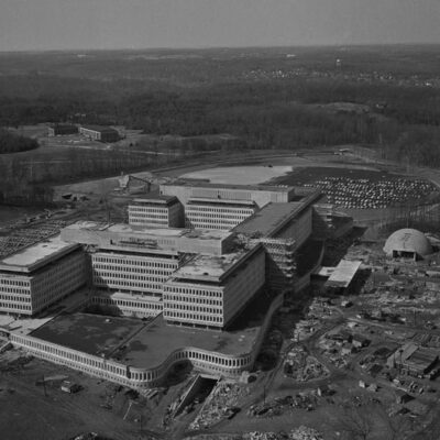
What Is the History of CIA's Langley Headquarters?
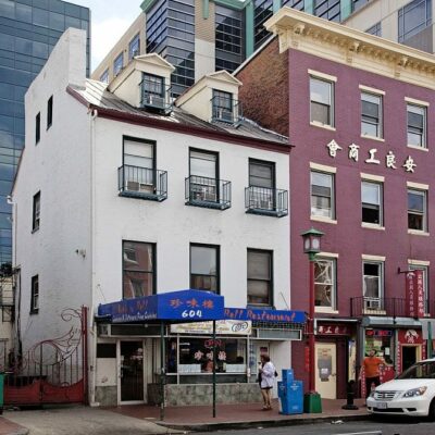
Mary Surratt Boarding House is Now a Chinese Restaurant
No posts found
-ad 616-
Awesome Old Pan Am Advertisements
What Is The History of Tysons Corner?
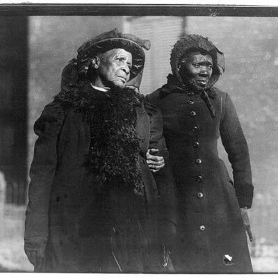
1916 Convention of Former Slaves in Washington
No posts found
-ad 630-
Popular Posts
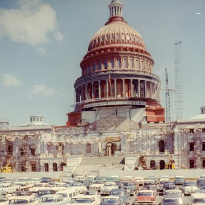
Remember the Red Capitol Dome? Here's Another Great View of It
No posts found
Metro Trains Were Almost Bright Red!
A Look Back at Columbia Heights in 1951: A Photo of 11th and Kenyon St. NW
Three Sisters Island Legend in the Potomac
A Bird's Eye View of the 'I Have a Dream' Speech - An Incredible Photograph
No posts found
Enjoy daily
Ghosts of DC stories.
SUBSCRIBE
No thanks.