
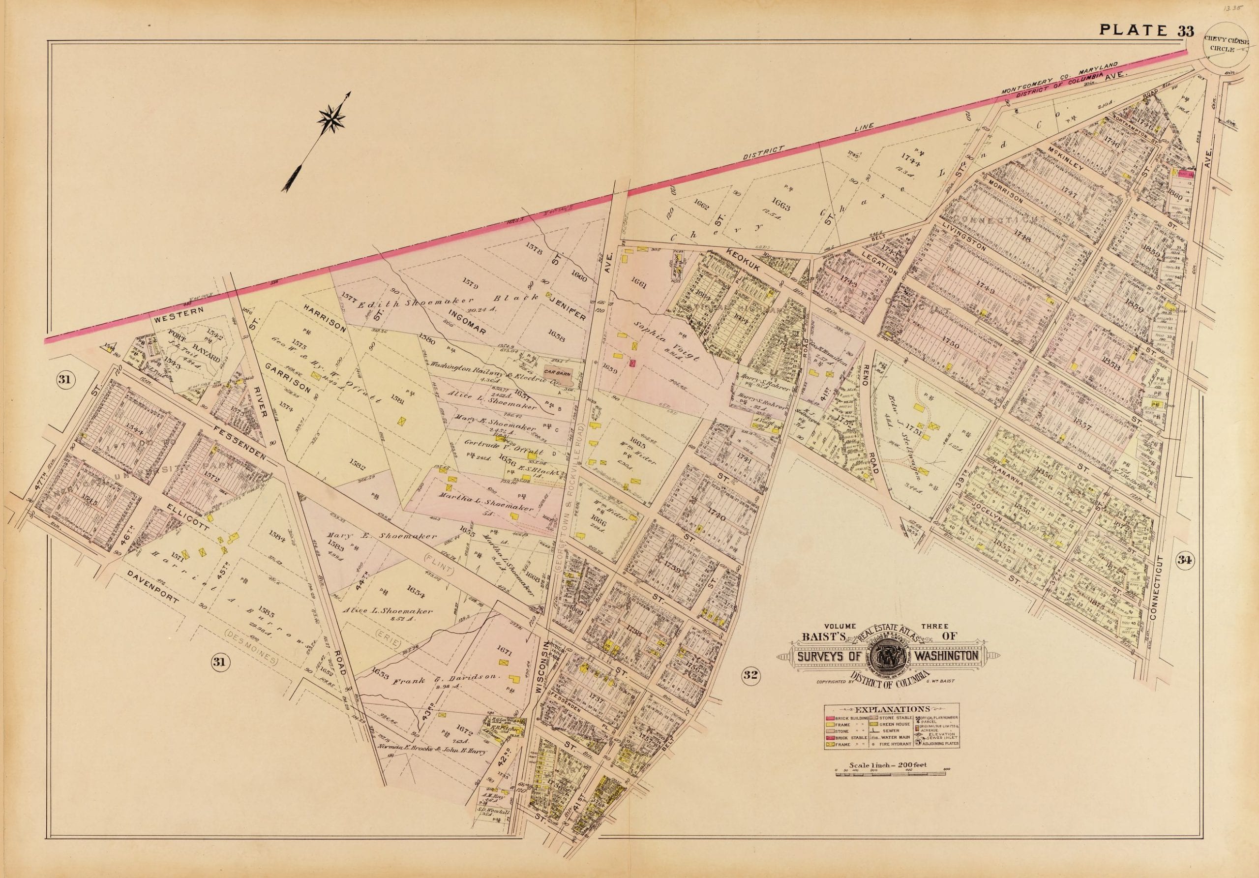
This is a cool old 1909 map of the area around Friendship Heights and Chevy Chase. Thanks to GoDCer Claire for pointing out that we didn’t have Friendship Heights in our neighborhoods menu. Enjoy the map Claire!
Source: Library of Congress
This is a cool old 1909 map of the area around Friendship Heights and Chevy Chase. Thanks to GoDCer Claire for pointing out that we didn’t have Friendship Heights in our neighborhoods menu. Enjoy the map Claire!
Source: Library of Congress
Comments are closed.
Is Keokuk Street the precursor to Military? Why (and when) the name change? Looks like it was originally named after an ironclad Navy ship sunk by the Confederates (or after Chief Keokuk, who was the inspiration for the ship’s name and an important U.S. ally in the early- to mid-1800s).