Skip to content
Ghosts of DC

Ghosts of DC

  • The Best Of
  • Neighborhoods
    • Southwest DC
      • Waterfront
    • Maryland
      • Gaithersburg
      • Rockville
      • Bethesda
      • Hyattsville
      • Silver Spring
      • Bladensburg
    • Virginia
      • McLean
      • Falls Church
      • Alexandria
      • Vienna
      • Arlington
    • Southeast DC
      • Congress Heights
      • Navy Yard
      • Capitol Hill
      • Anacostia
    • Northeast DC
      • Trinidad
      • Woodridge
      • Deanwood
      • Brookland
    • Northwest DC
      • Tenleytown
      • Park View
      • Friendship Heights
      • Brightwood
      • Crestwood
      • Sheridan-Kalorama
      • The Palisades
      • Logan Circle
      • Petworth
      • Glover Park
      • Bloomingdale
      • Georgetown
      • Woodley Park
      • Dupont Circle
      • Columbia Heights
      • Cleveland Park
      • Adams Morgan
      • Mt. Pleasant
      • Chevy Chase
      • Cathedral Heights
      • Chinatown
    • Lost Neighborhoods
      • Hell’s Bottom
      • Swampoodle
      • Murder Bay
  • Notable People & Places
    • Places
      • Washington Monument
      • Library of Congress
      • The White House
      • The Capitol Building
      • Dulles Airport
    • People
      • Franklin D. Roosevelt
      • Calvin Coolidge
      • Officer Sprinkle
      • Dwight D. Eisenhower
      • Warren G. Harding
      • William McKinley
      • Abraham Lincoln
      • John F. Kennedy
      • Teddy Roosevelt
      • Woodrow Wilson

Day: September 11, 2014

Before the Mayflower: A Look at Dupont and Farragut Circa 1919

December 8, 2021September 11, 2014 by ghostsofdc
1919 map of Dupont and Farragut

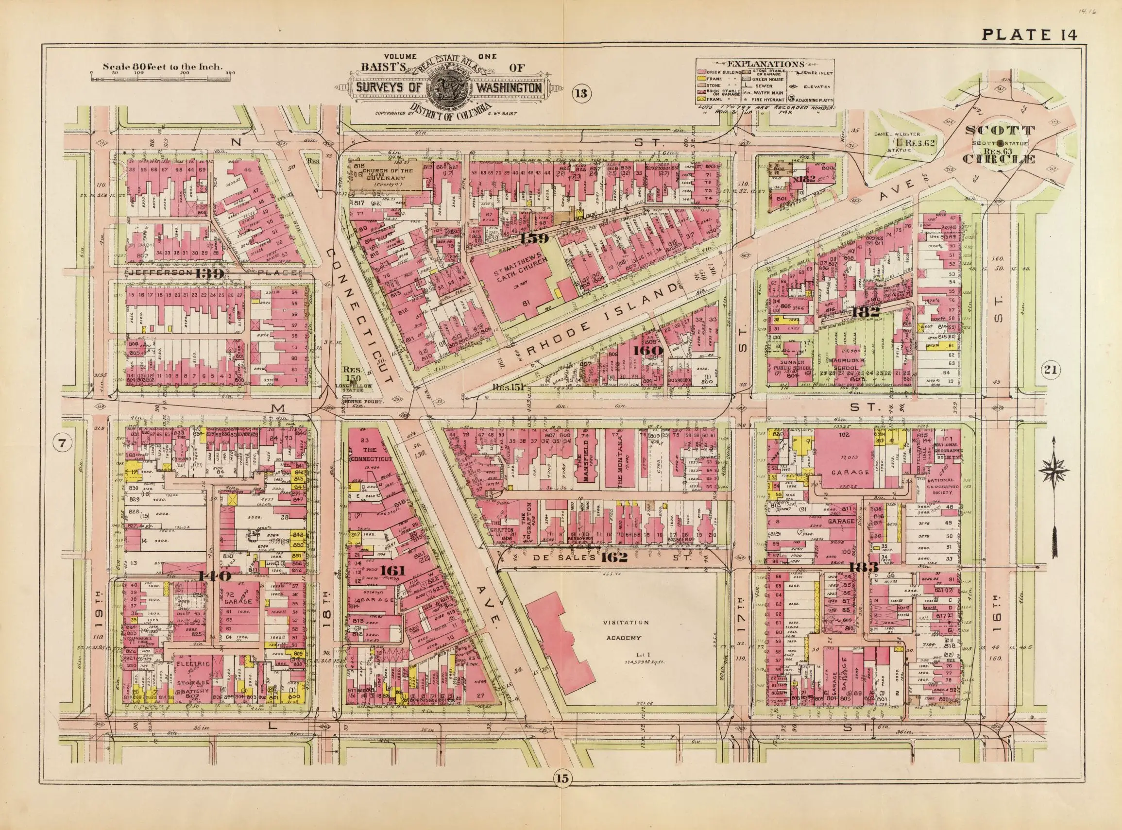
Take a step back in time and explore what south of Dupont Circle and Farragut looked like in 1919, before the Mayflower was built. See the historic map from the Library of Congress.

Categories GoDCers Love Maps Tags 1910s, Dupont Circle, Farragut North 2 Comments
© 2026 Ghosts of DC • Built with GeneratePress