
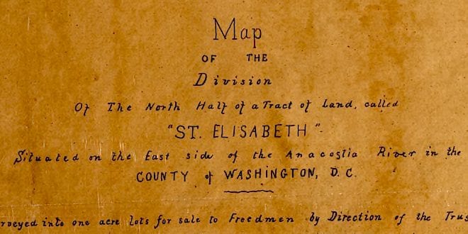
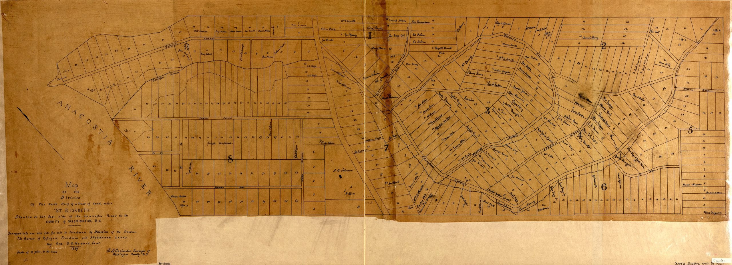
This is a terrific old map from 1867 that we dug up at the Library of Congress. The land on top of which St. Elizabeths Hospital was built had been referred to as St. Elisabeth since the Colonial times and the hospital had informally taken the area’s name ever since.
The land was subdivided into acre lots on this map after the Civil War, to be sold to freedmen. Make sure to click on the map for greater detail.
Source: Library of Congress
Take a look at the approximate area today on the Google Map. Some of the roads have the same names and you can see some lots are the same.
[googlemaps https://maps.google.com/maps?t=m&dg=opt&ie=UTF8&ll=38.85662,-76.989226&spn=0.01178,0.022724&z=16&output=embed]
Ghosts: This is a great find. Thank you for posting. This looks to be the original “Barry Farm” development that was a 375-acre tract purchased in May 1867 by Gen. O. O. Howard of the Freedmen’s Bureau. You can see street names of “Sheridan” “Stevens” “Wade” “Sumner” and “Pomeroy” that are still in currency in today’s neighborhood. – JM
I am trying to locate a map of west georgetown of same era. Are you aware of any?