-ad 189-

Posted In Scott Circle

Washington, D.C. Scott Circle
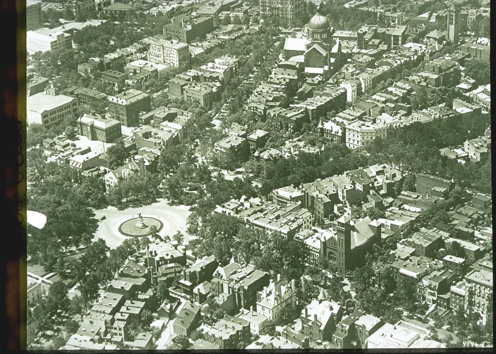
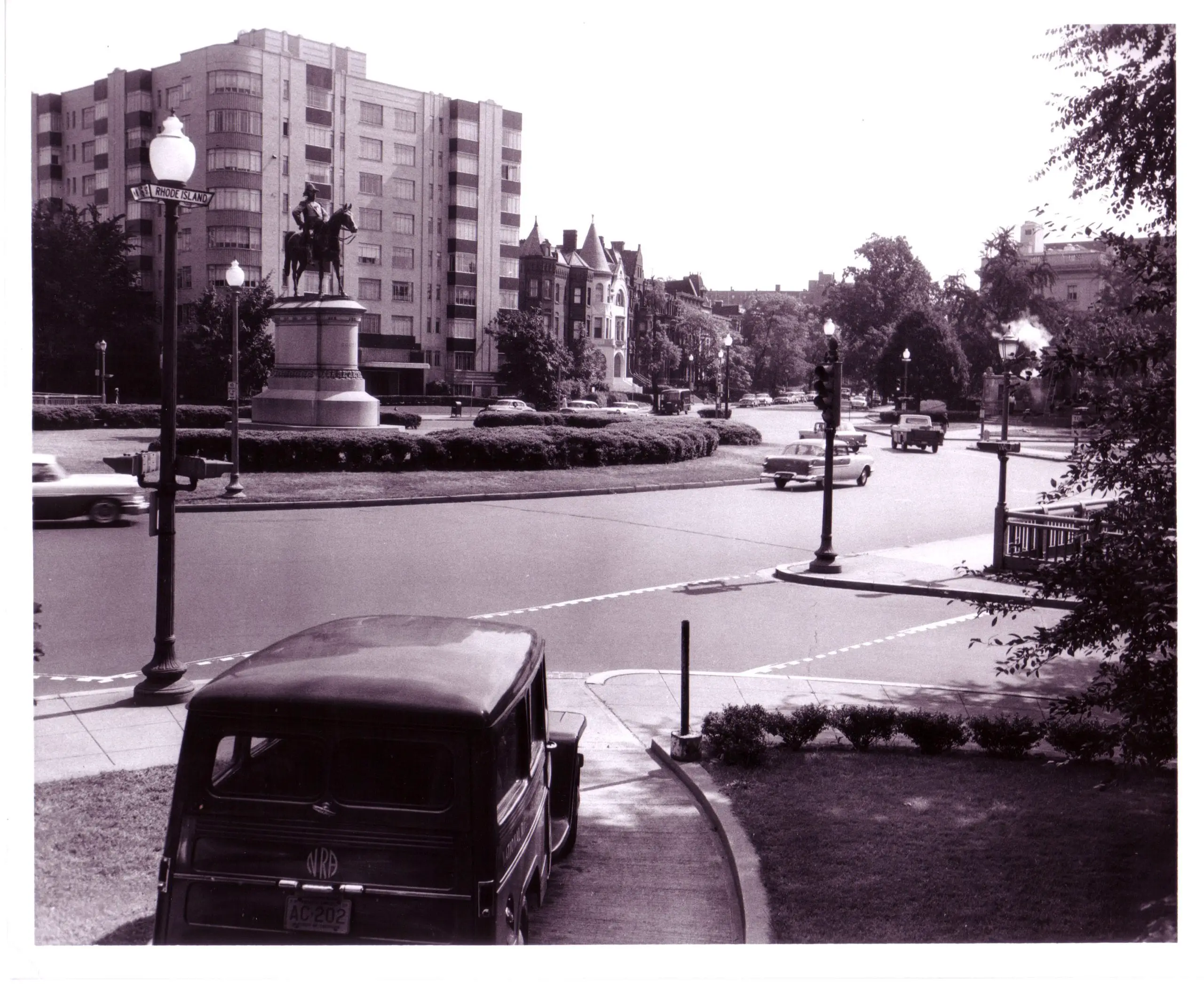
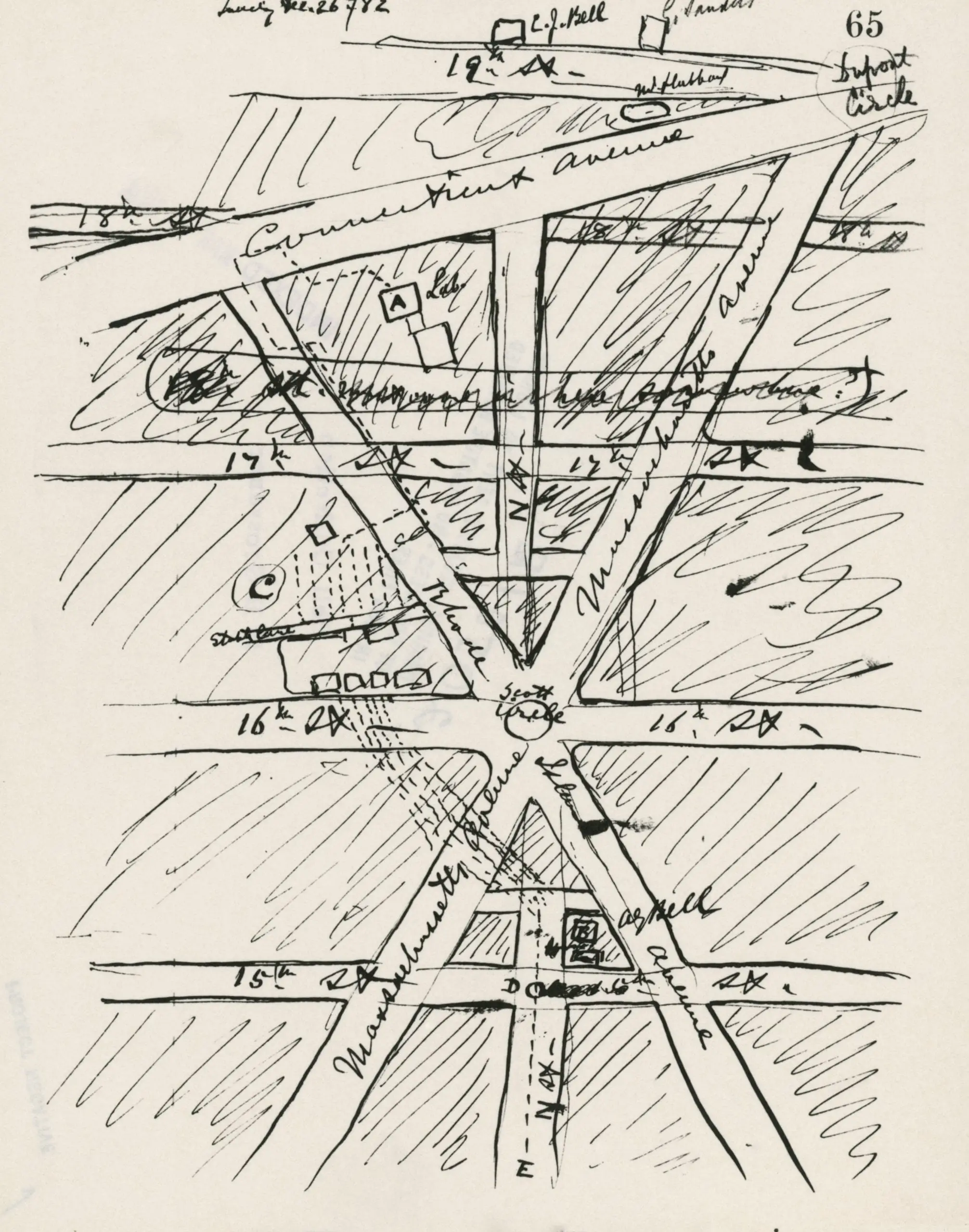
A Look Back in Time: A Night View of Scott Circle in April 1943
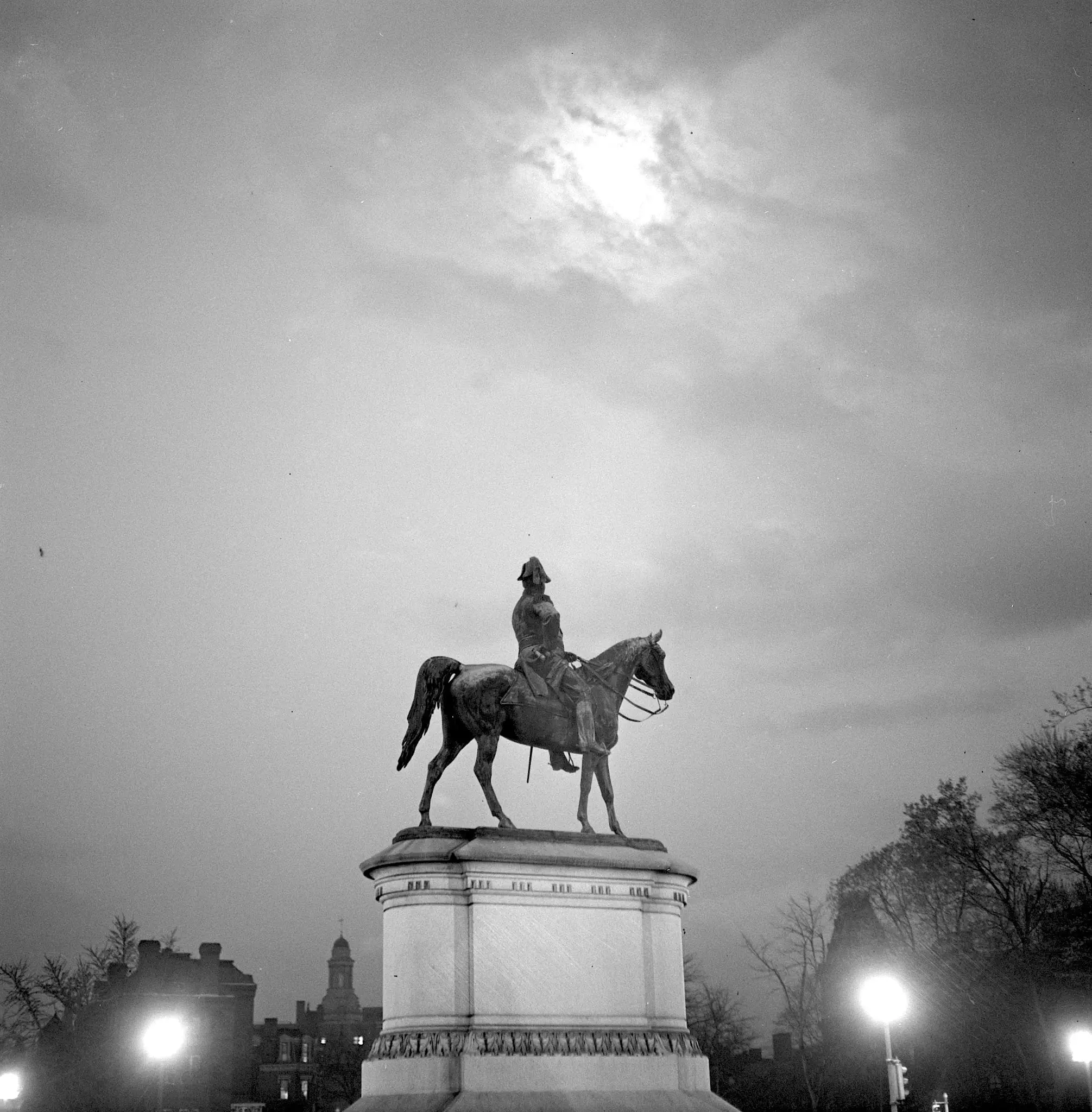
Take a look back in time and explore Scott Circle in Washington, D.C. in April 1943. Check out this great post and aerial view of the circle, as well as a hand-drawn map by Alexander Graham Bell.
Scott Circle
A Journey Through Time: An Old Photo of Scott Circle from the Library of Congress
Take a journey through time and explore an old photo of Scott Circle from the Library of Congress. Learn more about the history of this area of Washington, DC and see what it looked like in the past.
Scott Circle, NW, looking northeast from Rhode Island Avenue with statue of Gen. Winfield Scott; note glass street sign under globe. (July 8, 1950
A Blast from the Past: A Look at Scott Circle in 1950
Take a trip back in time with this amazing photo of Scott Circle in 1950, courtesy of DDOTDC Flickr. Visit Ghosts of DC to learn more!
This is Bell’s hand-drawn map of downtown Washington, D.C., centered on Scott Circle. Rhode Island, Connecticut, and Massachusetts Avenues are all clearly visible on the map—as well as 15th through 19th Streets. At the intersection of Rhode Island Avenue and 15th Streets, Bell indicated the location of his Washington, D.C., residence by scrawling “A.G. Bell.” The National Geographic Society headquarters on M Street between 16th and 17th Streets would be located on the far left side of this map.
An Incredible Hand-Drawn Map of Washington, DC Centered on Scott Circle
Check out this incredible hand-drawn map of Washington DC, centered on Scott Circle! You'll see Dupont Circle at the top right. Don't miss out on the play at the National Geographic headquarters (M St. between 16th and 17th) September 12-14 and 19-21. Get your tickets today!

Enjoy daily

Ghosts of DC stories.