
Meridian Mansions: Senators, a Czech Flag, and a Century at 2400 16th Street
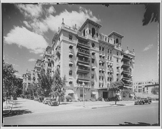
The 1918 apartment hotel at 2400 16th Street NW housed ten senators, hosted embassies, and unfurled the first Czechoslovak flag. Today it is The Envoy.
Meridian Hill sits at the edge of Columbia Heights in Northwest DC, anchored by the formal terraced park that bears its name. The hill was once a contested symbolic boundary between North and South Washington.
The 1918 apartment hotel at 2400 16th Street NW housed ten senators, hosted embassies, and unfurled the first Czechoslovak flag. Today it is The Envoy.
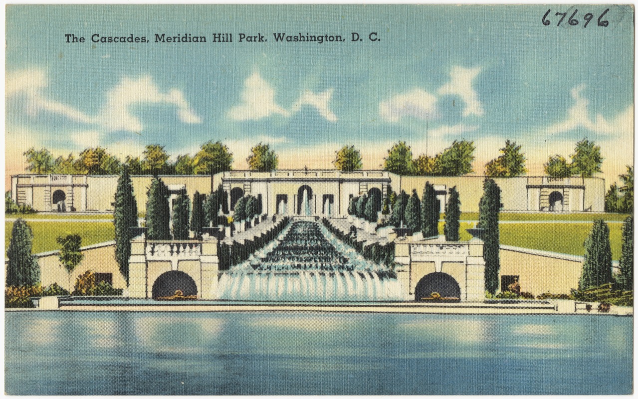
Meridian Hill Park is DC’s Italian Renaissance secret: Mary Foote Henderson’s vision, the 1922 Joan of Arc statue, and a drum circle going since 1965.
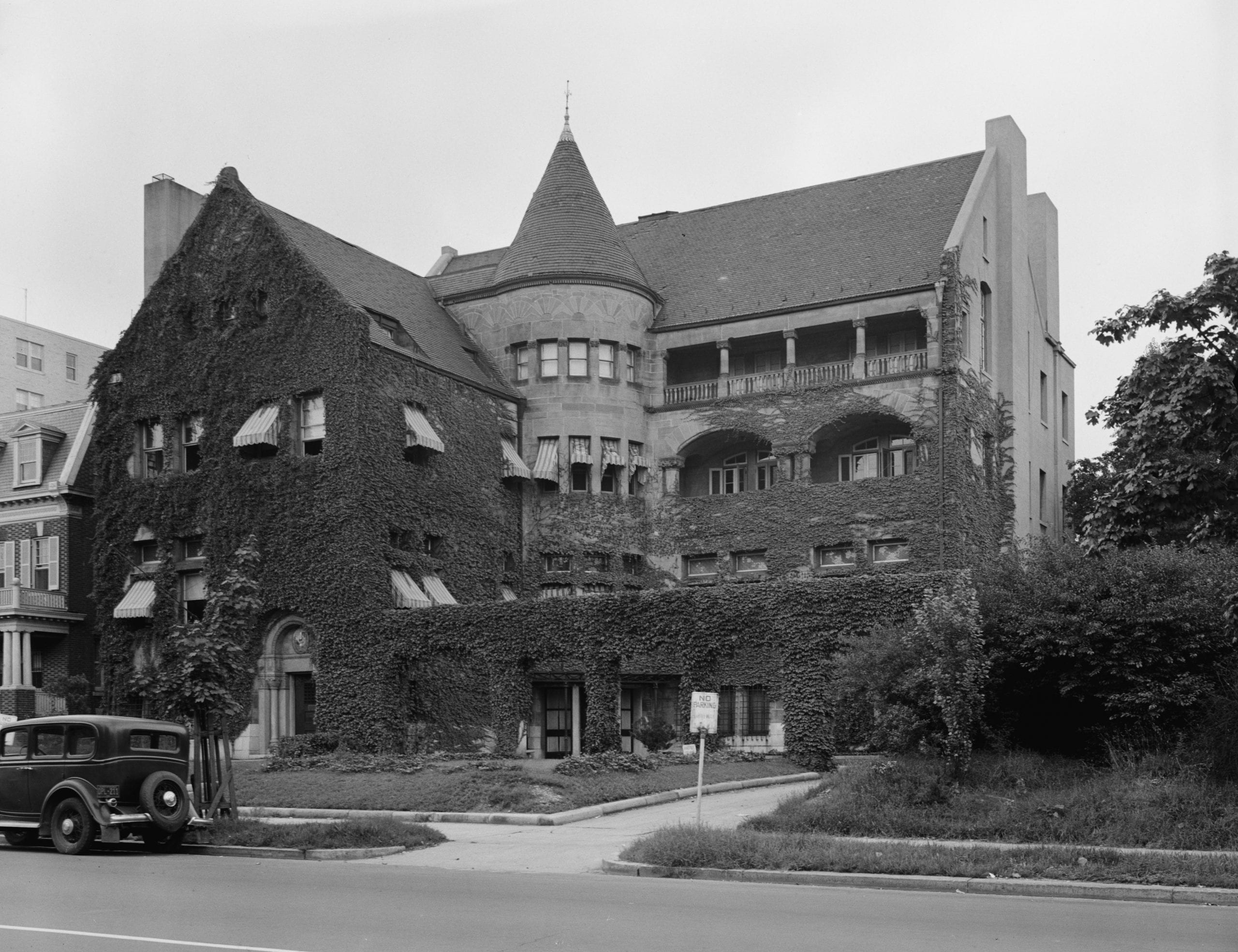
The Warder Mansion is the only H.H. Richardson building left in Washington. In 1923 an architect bought the doomed downtown house, numbered every stone, and moved it a mile and a half up 16th Street.
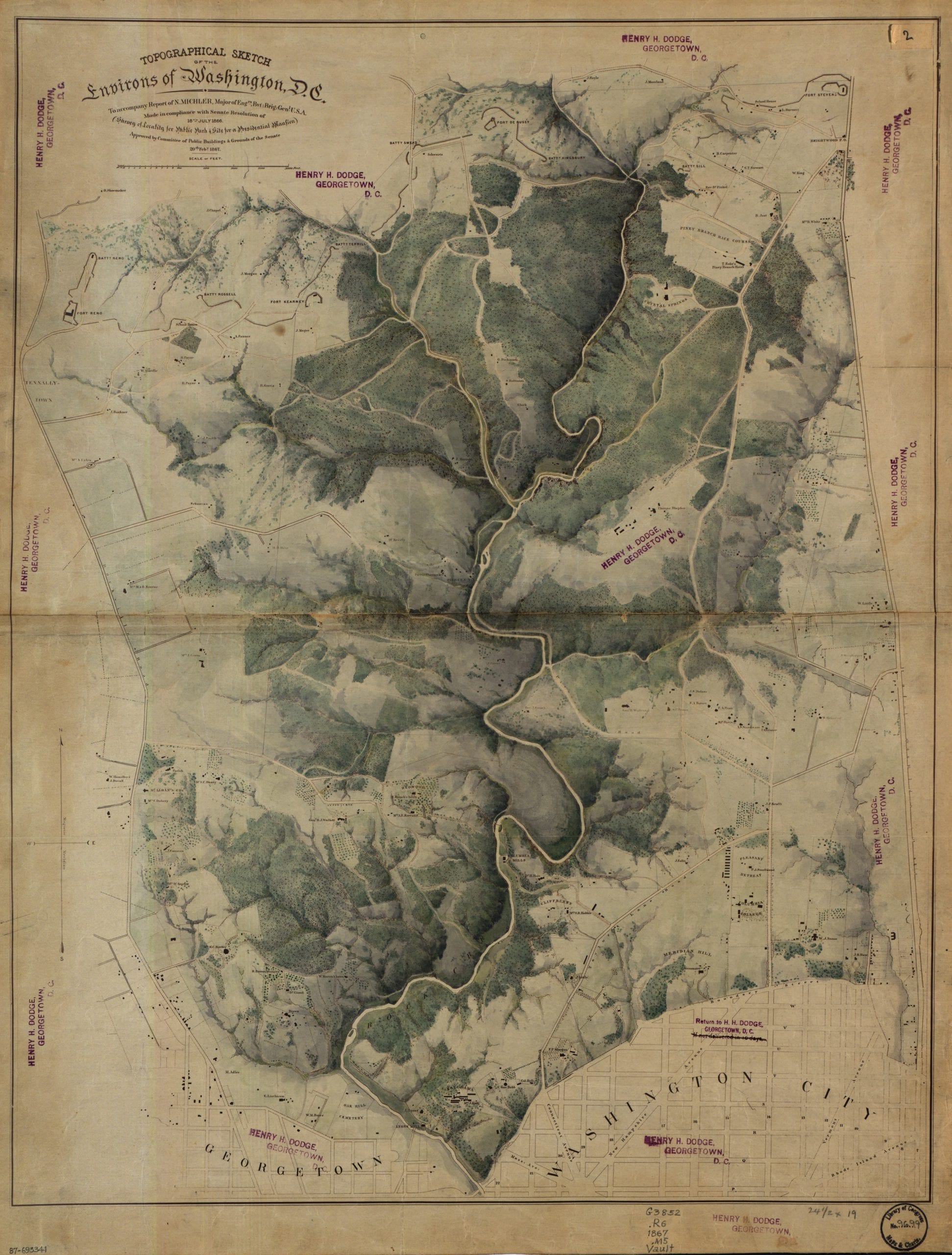
Last week we posted a detailed topographical map of Rock Creek Park from 1866. There were some great comments on it, including GoDCer Elizabeth’s observation that the map was entitled “Location for a Public Park & Site for Presidential Mansion” … intriguing. Another GoDCer, Carlton from Glover Park History, did some digging and came up with … Read more
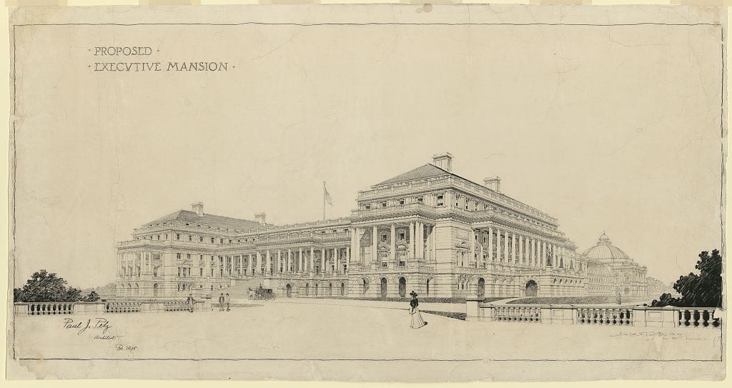
Take a look at the proposed Executive Mansion to be built on Meridian Hill, a plan championed by Mary Foote Henderson. See the extravagant design, plus learn more about Mrs. Henderson and other buildings that were never built in Washington.
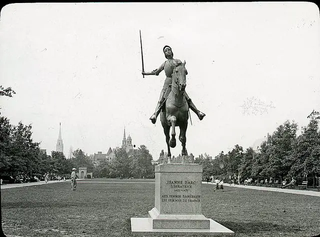
The sword in Joan of Arc’s hand in Meridian Hill Park was stolen in 1978. It took until December 2011 to replace the blade.